Cycling Dumfries & Galloway Villages on 8 Sep 21 – LOG

Choice of Route

I chose the route Cycling Dumfries & Galloway Villages on 8 Sep 21 as it was in a part of Scotland I hadn’t cycled in before.

The route was also part of the National Cycle Network route no. 7, so it was mostly well signposted.

I also wanted to take advantage of the longer days of daylight during the summer. This was necessary on this route as it is a one & a half to two hour drive from Glasgow to get to the start point in Gretna.

Route Map

This route follows a section of the NCN 7 cycle path, which is one of the routes on the National Cycle Network run by the charity called Sustrans. Their map of this route can be accessed on their website www.sustrans.org.uk.

I downloaded their map onto my phone and consulted it frequently throughout the course of the day.

After I returned I also prepared my own map, as shown below. I did this as I wanted to see the hills profile and the total ascent shown on the map below after you press “Play”.

The map above is an interactive map. Press “Play” (click on the white triangle in the middle of the screen) to activate it. You can then zoom in or out by pressing the buttons that appear in the top left of the screen. The map can be moved by dragging it. Once you press Play the hills profile of the route will appear at the bottom of the map. Further comprehensive detailed analysis of the hill profile can be obtained by clicking on “More Detailed Profile” at the top left of the hills profile section. You can also select full screen mode by clicking on the icon in the top right corner of the map.

Timings and Distances

Anytime I cycle on one of my cycle routes in Scotland I use this section to record trip details. I record the times I took for the various parts of the day and the distances cycled. This includes when I started cycling and how long I cycled for between various points in the route. I also record the distances (in miles) between various points in the route and how long I rested for, etc. 

I included this section so that I can look back at the timings and distances to help me plan my day if I decide to do this trip again. This section could also assist others with planning their day if they decide to do this route. Each person, of course, will have to adjust the timings to suit their own circumstances, e.g. cycling speed, rest times, etc.

(Note: The figures in brackets are the cumulative distances in miles from the start of the route.)

Left Glasgow 8.00 / Arrived at parking at Gretna 9.40 / Started cycling 10.00 / Confirmed direction of travel to 10.15 / Fixed puncture 10.35 – 11.35 (3.18) / East Riggs 11.50 (5.03) / Annan 12.25 – 12.50 (9.23) / Newbie 1.05 (10.68) / Powfoot 1.25 (13.74) / Ruthwell 2.15 (18.19) / Bankend 2.55 – 3.15 (23.51) / Back at Powfoot 4.00 (33.03)/ Back at Newbie 4.15 (36.75) / Back at Annan 4.25 (37.94) / Back at Dornock 4.40 – 4.50 (40.81) / Back at car 5.20 (46.94)/ Left 5.30 / Home 7.15. 

Computer Readings

At the end of each trip there are a variety of readings on the bike’s computer. Some of them I record for future comparison purposes.

For this route the readings are as follows :

Trip distance 46.94 mls. | Max. speed 22.6 mph | Ave. speed 11.1 mph | Trip time 4 hrs. 13 mins. | Odometer 3,555.60 mls.

Log

Getting There

From the south side of Glasgow I took the M8 for a short distance. I then cut off onto the M74, which took me all the way down to near the border with England. Here I cut off onto the B7076 then the B721 into Gretna. 

The drive down was fine with traffic moving steadily all the way, especially further down on the M74 which was reasonably quiet.

Gretna

When I arrived in Gretna the sun had broken through and it was a lovely bright sunny morning.

In Gretna I drove to the Central Avenue Car Park (post code DG16 5DF). I had obtained the post code for this car park yesterday for satnav purposes. It is a council run car park that has 46 spaces and is free all day.

An advantage of this car park is that it sits right on the NCN 7 cycle route that I was going to follow.

However, I wasn’t sure whether to turn right or left when coming out of the car park. Whilst my gut feeling was to go left, I turned right and cycled along for five minutes or so. I then checked the NCN map on my phone. This confirmed that I should have turned left, so I cycled back to the car park. Overall this took about 15 minutes.

Puncture !!!

Twenty minutes after leaving the car park in Gretna I got a puncture! I had only cycled just over three miles! Needless to say, the puncture was in my rear wheel.

I hadn’t had a puncture since buying my e-bike over three years ago. This was probably down to the Schwalbe puncture resistant tyres that came fitted to the bike. I assume that the tyres are now getting a bit thin and should be replaced.

As I hadn’t had to fix a puncture for over three years and as I hadn’t even removed the rear wheel from the bike, it took me much longer than I expected.

Firstly, I had to remove my saddlebag and my two water bottles. Then I unlocked and removed the battery. 

I wanted to turn the bike upside down and rest it on the saddle and the handlebars. To do this I had to loosen some fittings on the handlebars.

I loosened the fittings on the water bottle carrier on the handlebars and moved it to a horizontal position. I then loosened the bolts on the hand rests I have at the end of the handlebars. This allowed me to move the hand rests so that they were at right angle to the handlebars. That meant that when I turned the bike upside down the weight rested on the hand rests. This also protected the bike’s computer display unit and the assistance level selector unit.

I removed the wheel and inspected the tyre, which was quite worn. I found a tiny cut in the tyre and marked the position on the tyre and the inner tube with chalk from an old puncture repair kit I had in my saddle bag. Then I removed the inner tube and pumped some air into it. Air was escaping from near to the point I had chalk marked.

As the cut was so small I decided just to repair the puncture rather than replace the inner tube. This meant that I would still have my spare inner tube if anything else went wrong later.

I applied a self-adhesive patch to the inner tube and held it in place for a few minutes. Then I reassembled the wheel and pumped up the tyre. It took me a few goes to get the wheel back onto the bike as it had been some time since I had fixed a puncture.

Unbelievably from start to finish it took me an hour to repair the puncture (although  this included ten minutes or so I had spent trying, unsuccessfully, to tighten inaccessible bolts on the luggage rack whilst the rear wheel was off).

Nevertheless, the repair was successful and lasted for the rest of the day.

NCN 7 Signs

The whole of today’s route was on the NCN 7 cycle route. This route was well signposted all along the way. An example of the signage some distance from my start point in Gretna is shown below.

NCN Signs - Cycling Dumfries & Galloway Villages on 8 Sep 21

Gretna - East Riggs

I cycled along until I came to the small town of East Riggs.

Eastriggs Village - Cycling Dumfries & Galloway Villages on 8 Sep 21

In East Riggs I passed by the quaintly named Devil’s Porridge Museum.

Eastriggs Museum - Cycling Dumfries & Galloway Villages on 8 Sep 21 -

The term “Devil’s Porridge” refers to cordite, an explosive, that was mixed in HM Factoty Gretna during World War One. The museum tells the story of the factory and of the munitions workers who came here from throughout the Empire to support the war effort in the First World War.

East Riggs - Annan

I continued cycling through the flat, open countryside. Along the way I passed through the villages of Dornock and Hollinlea.

Dornock Village - Cycling Dumfries & Galloway Villages on 8 Sep 21
Hollinlea Village - Cycling Dumfries & Galloway Villages on 8 Sep 21

After just over 9 miles of cycling I reached the small town of Annan.

Annan is a busy, bustling small town. It has several bar / restaurants, cafes, hotels and shops. There are public toilets just off the main road. 

Although I had only cycled just over nine miles I stopped in Annan for lunch, as it was quite late due to the puncture delay.

I sat at a bench at the side of the main road and ate my sandwiches and drank my juice, whilst enjoying the warm sun that was beating down on the bench.

Annan - Powfoot

After lunch I cycled along the main road in Annan and then turned left, following the NCN signs. This led to a pedestrian bridge over the river.

At the end of this bridge there is a very narrow path that is mostly tarmac. This path is only two to three feet wide. It eventually leads out onto a road at the village of Newbie.

Newbie Village - Cycling Dumfries & Galloway Villages on 8 Sep 21

I continued cycling along the road through flat, open countryside until I reached the village of Powfoot.

Powfoot

Powfoot Village - Cycling Dumfries & Galloway Villages on 8 Sep 21

Powfoot is a quaint, picturesque little village on the banks of a bay.

The bay at Powfoot Village - Cycling Dumfries & Galloway Villages on 8 Sep 21

Just along the bay from Powfoot Village is the Powfoot Hotel, which serves food and drink and has an outdoor seating area.

Powfoot Hotel - Cycling Dumfries & Galloway Villages on 8 Sep 21

Further along the bay is the Queensbury Bay Leisure Park. This is a large caravan park and it has a restaurant with outdoor seating.

The signs for NCN 7 take you right to the leisure park, but then they disappear. So I cycled round the back of the restaurant, following the road through the leisure park.

Once round the restaurant building I eventually followed a narrow road to the right that seemed to head towards a farm building. This led to a gate that was closed, but had a gap at the side that I went through. 

I continued along the very narrow road that this led onto. Eventually this road came out at a junction where the NCN signs recommenced.

Powfoot - Bankend

I cycled through the small village of Ruthwell, passing by the Savings Bank Museum on the main road.

The world’s first commercial savings bank was opened in 1810 by Ruthwell’s most famous inhabitant, Henry Duncan, and the museum tells the whole story.

I continued cycling along the long, flat roads in the brilliant, warm sunshine, until I reached the small village of Bankend.

Bankend Village - Cycling Dumfries & Galloway Villages on 8 Sep 21

Here I stopped for a rest. I lay back on the grass verge and ate some of my fruit & nut bar and drank some juice whilst soaking up the sun.

Return to Gretna

Although I had originally hoped to cycle all the way to Dumfries, I decided just to return to Gretna from Bankend. This was partly because of the time I had lost in the morning due to the puncture, but it was mainly due to the distances involved.

It was another 8 miles to Dumfries so that would have added an additional 16 miles to the days total. I had already cycled over 23 miles to Bankend, so I knew that by the time I got back to Gretna from Bankend the total would be about 47 miles.

Adding another 16 miles to this total would have been 63 miles, which is way out of my comfort zone. It would also have meant that I would have been back at Gretna much later. This would not have been good, especially with a drive home of over one and a half hours still to do.

So I just turned round and headed back to Gretna.

Obviously I now knew the route back although I followed the NCN 7 signs at the junctions. However, at one of the junctions there is no NCN sign. This is on the B725 a short distance after leaving Bankend. After passing the Brow Well Cottages and the Brow Plantation, the B725 veers round to the left. Here the NCN 7 continues straight on but there is no sign to advise this. Fortunately I remembered this junction from having cycled this way on the outward journey.

The sun continued to shine all the way back to Gretna so it was a fine ride back.

Levels of Assistance Used

I hadn’t used the electric motor at all until about 2 miles from the village of Bankend, by which time it was 2.40 and I had cycled 21 miles. This was because the route was on flat roads through open countryside, so there were no hills where I needed assistance.

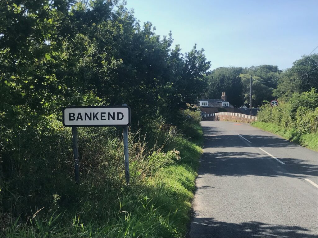
At this point I thought, mistakenly, that I was only about 4 miles from Dumfries. I therefore decided to use the electric motor to try to get to Dumfries by 3 o’clock, so that I had sufficient time to get back to Gretna at a reasonable hour. So to attain a quick speed I used the third of the four levels of assistance, the SPORT mode, for the two miles to the village of Bankend.

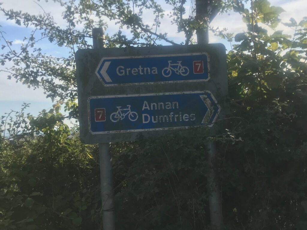
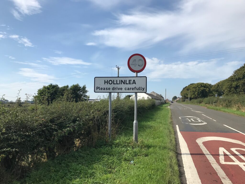
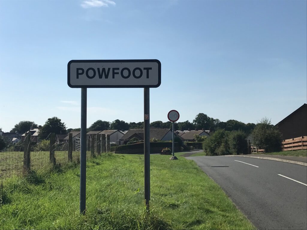
Once at Bankend, though, there were road signs that indicated that it was about another 8 miles to Dumfries, so I decided to turn back to Gretna from there.

However, it was now after 3 o’clock and I knew that it took me over 3 hours  to cycle to Bankend, excluding the hour to fix the puncture and excluding rest stops. This meant that I wouldn’t get back to Gretna until after 6 o’clock. I would then have a drive home of up to 2 hours, depending on the traffic.

So to get me back to Gretna at a reasonable time I decided to use the electric motor all the way back. Consequently I mostly used the second level of assistance, the TOUR mode, and occasionally the first level, the ECO mode. As a result I was back in Gretna by 5.20 p.m.

This, of course, also impacted on my average speed for the day. Normally on a hilly route, with assistance only when required on hills, I would average between 8 – 9 mph. Today, as can be seen from the computer readings above, at the end of the trip, I had averaged 11.1 mph.

Battery Charging

Due to using the electric motor all the way back from Bankend to Gretna the battery level indicator was only showing three of the five green bars at the end of the trip.

When I got home and plugged the battery in to recharge it the third green light was flashing, so there was only between two to three bars left.

Consequently it took 1 hour 50 mins. to fully recharge the battery.

Summary

It was certainly an eventful day, with the first puncture on this bike and thus the first puncture for over three years. The fact that it took me about 50 mins. to repair the puncture reflected the lack of practice.

Fortunately it was a beautiful, warm sunny day and the terrain was almost all flat so the cycling wasn’t difficult. The route was through open countryside which was quite pleasant, 

Although the route roughly followed the Solway Firth, it was mostly inland and there were no sea views until I came to the picturesque village of Powfoot. However, it was interesting to see all the other villages along the way.

Leave a Comment

Your email address will not be published. Required fields are marked *