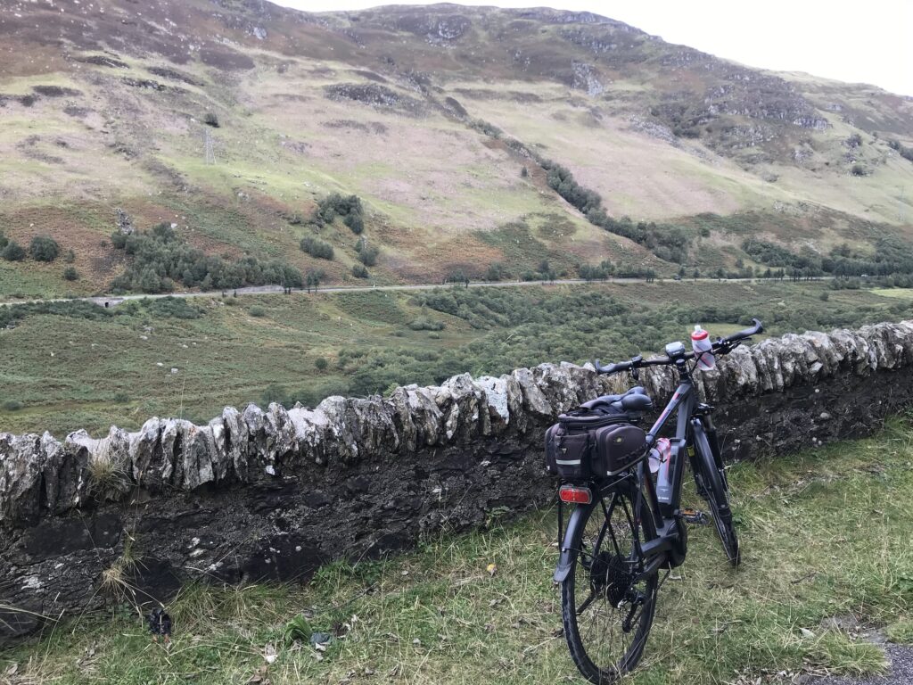
Cycling from Callander to Killin (NCN 7) on 20 Sep 20 was a fine route. There were great views of the countryside in the beautiful Trossachs area of Scotland. There were also good views when cycling alongside Loch Lubnaig.
This is one of many great routes I have cycled in Scotland. Other great routes I have cycled are listed on the page Cycle Routes in Scotland.
Choice of Route
I chose the route Cycling from Callander to Killin (NCN 7) on 20 Sep 20 as I had recently cycled two adjacent sections of the NCN 7.
The first one was from Drymen to Aberfoyle, and the second one was from Aberfoyle to Callander. This route, therefore, was a continuation of these two routes.
Route Map -
Cycling from Callander to Killin (NCN 7) on 20 Sep 20
This route follows a section of the NCN 7 cycle path. It is one of the routes on the National Cycle Network run by the charity called Sustrans. Their map of this route can be accessed on their website www.sustrans.org.uk.
However, I also prepared my own map, as shown below. I did this as I wanted to see the hills profile and the total ascent shown on the map below after you press “Play”.
The map above is an interactive map. Press “Play” (click on the white triangle in the middle of the screen) to activate it. You can then zoom in or out by pressing the buttons that appear in the top left of the screen. The map can be moved by dragging it. Once you press Play the hills profile of the route will appear at the bottom of the map. Further comprehensive detailed analysis of the hill profile can be obtained by clicking on “More Detailed Profile” at the top left of the hills profile section. You can also select full screen mode by clicking on the icon in the top right corner of the map.
Timings and Distances -
Cycling from Callander to Killin (NCN 7) on 20 Sep 20
Anytime I cycle on one of my cycle routes in Scotland I use this section to record trip details. I record the times I took for the various parts of the day and the distances cycled. This includes when I started cycling and how long I cycled for between various points in the route. I also record the distances (in miles) between various points in the route and how long I rested for, etc.
I included this section so that I can look back at the timings and distances to help me plan my day if I decide to do this trip again. This section could also assist others with planning their day if they decide to do this route. Each person, of course, will have to adjust the timings to suit their own circumstances, e.g. cycling speed, rest times, etc.
(Note: The figures in brackets are the cumulative distances in miles from the start of the route.)
Arrived at parking 10.10 / Started cycling 10.45 / Strathyre village (9.26) 12.15 / Lunch 12.20 – 12.45 / Killin (22.20) 2.40 – 3.05 / Lochearnhead cut off (30.36) 4.15 / Callander (44.24) 6.25 / Left 6.40.
Log -
Cycling from Callander to Killin (NCN 7) on 20 Sep 20
Callander - Ben Ledi
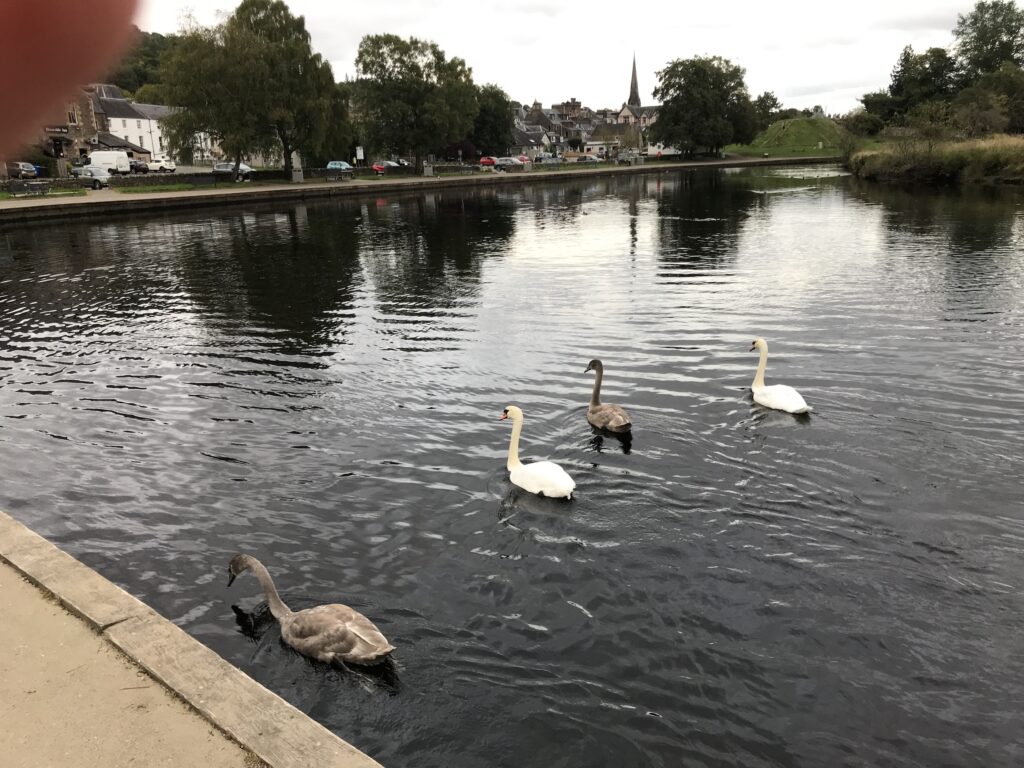
I parked at the end of the large car park behind the main street in Callander, overlooking the River Teith.
This is where this part of the NCN 7 route begins. The NCN signs are at the edge of the car park.
The first section of the route is alongside the River Teith, which was fast flowing over rocks at the start.
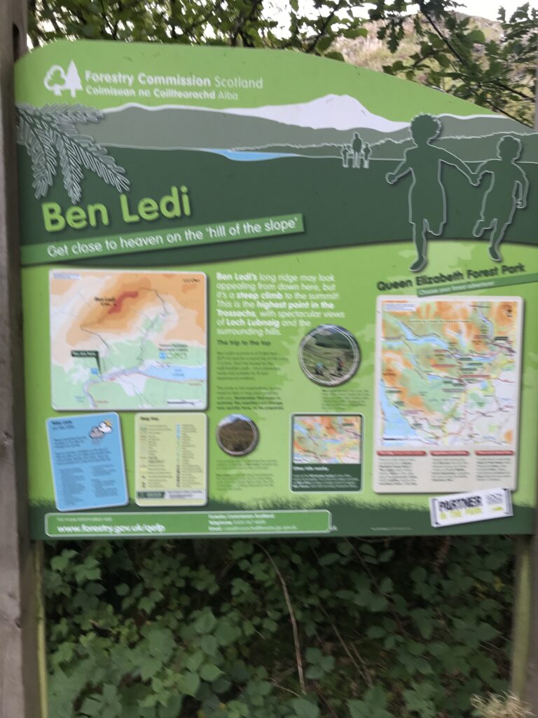
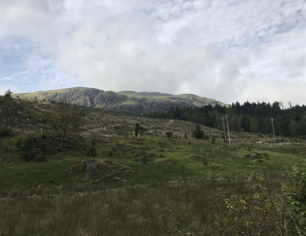
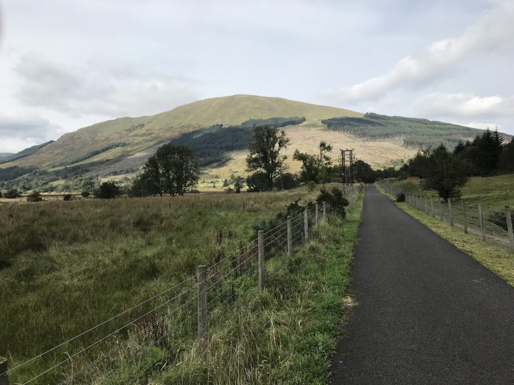
It continues through the trees and emerges at the car park for hill walkers who are climbing Ban Ledi. This is the highest hill in the Trossachs area of Scotland.
The ridge at the top of Ben Ledi can be clearly seen as you cycle along on a paved road.
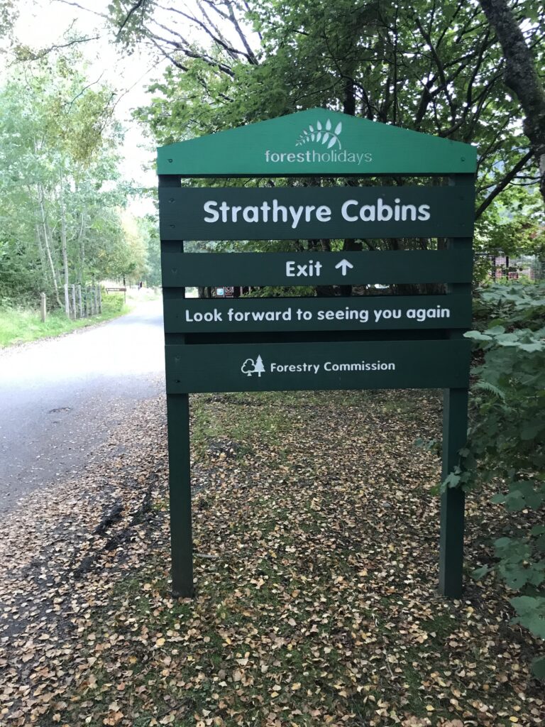
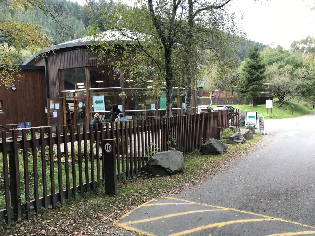
This road leads to the Strathyre Cabins complex that is operated by Forest Holidays.
There is a shop and cafe here for residents that is also open to the public.
Ben Ledi - Loch Lubnaig
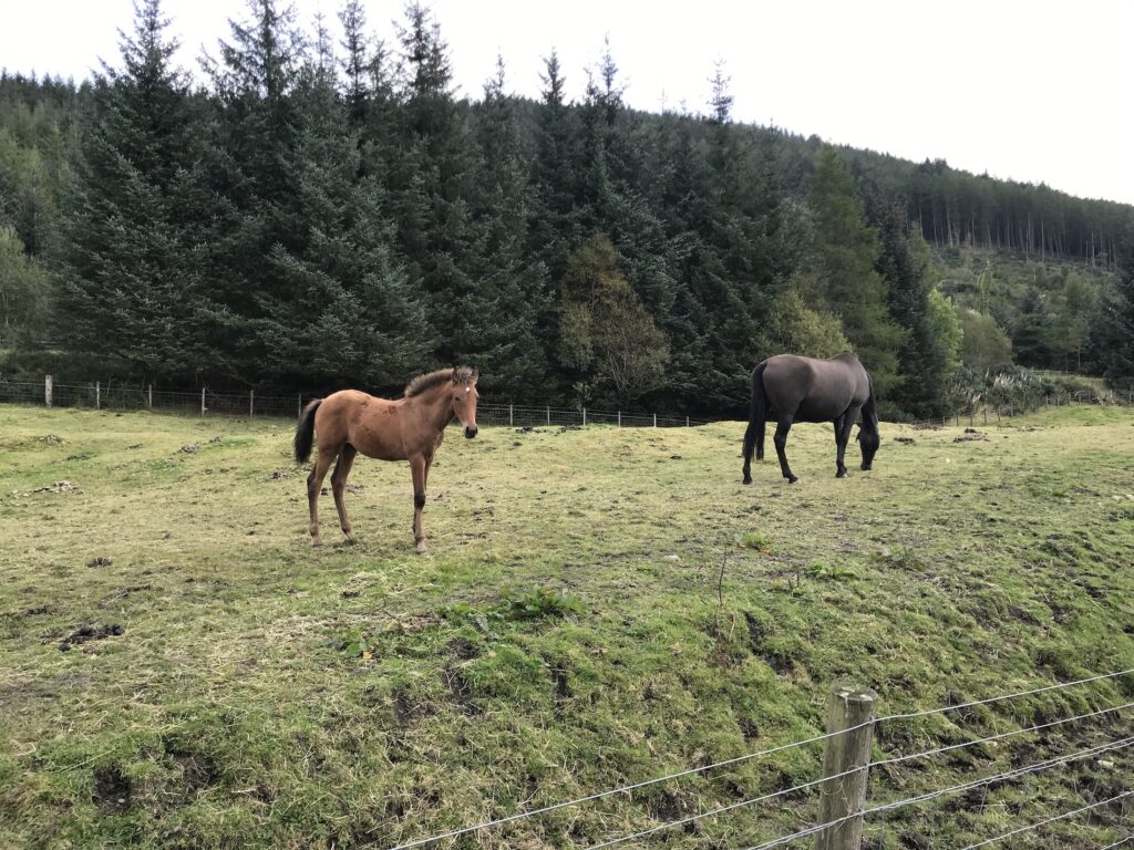
At the end of the road I continued on the cycle track through an area where horse riding is popular. Here there are several stables and paddocks and horses in fields.
The path in this section is paved and is flat.
I continued on the route along the side of Loch Lubnaig. It continued to be flat for a good distance along the loch.
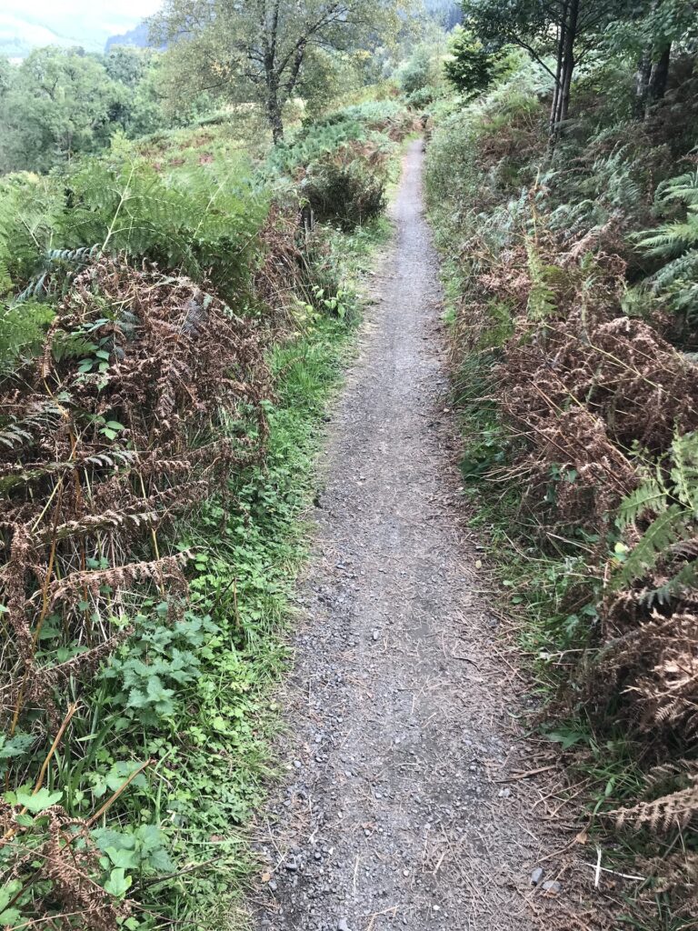
Soon, however, the track begins to gradually narrow. Then it is less than a foot wide with vegetation on either side.
It then suddenly starts to climb up steeply. At times the surface is loose stones and there are several small hairpin bends.
I was a bit surprised by this as it was more like a mountain bike trail that zig-zagged up the hill. However, I took it slowly and used my electric motor (first & second levels) to help get up the steep slopes. At first I thought I had missed a turning to get onto this track. Then when I got to the top it was clearly signposted as NCN 7. At the top the track joined a wide forest road which was stoney and rutted.
Loch Lubnaig - Strathyre
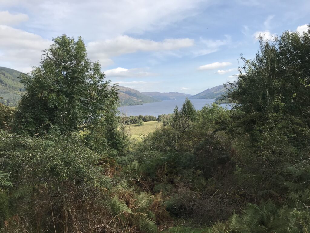
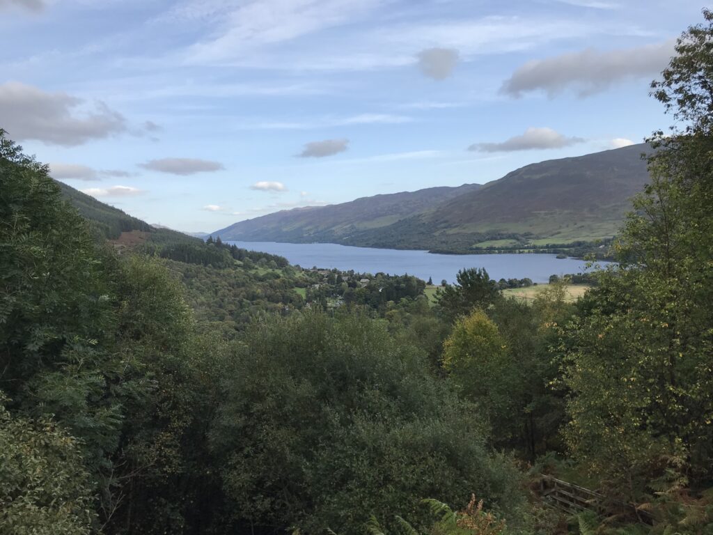
The path recommenced at the end of this road and continued to undulate high along the side of Loch Lubnaig. From this high position I had good views down the loch. I could also see clearly over to the main road that ran along the other side of the loch.
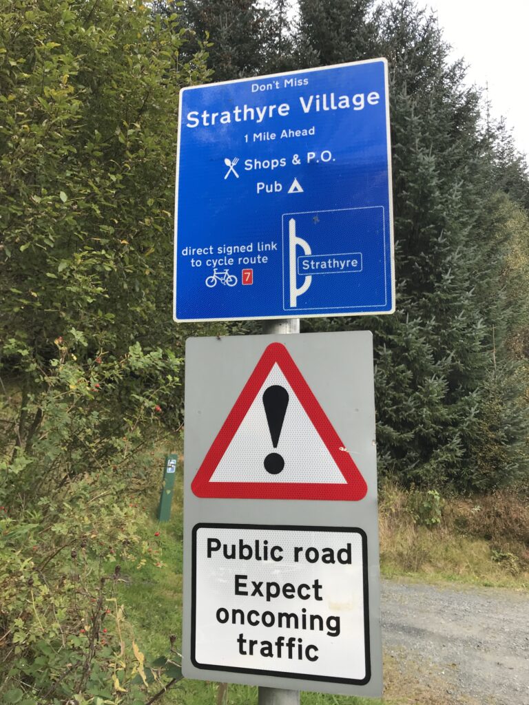
Although I had only cycled about 9 miles I had started later then normal so it was now 12.15. Also, I was a wee bit tired after the unexpected climbing over Loch Lubnaig. So once I was past Loch Lubnaig I cut off the cycle track to go into the small village of Strathyre. Here I hoped to stop for lunch and a rest.
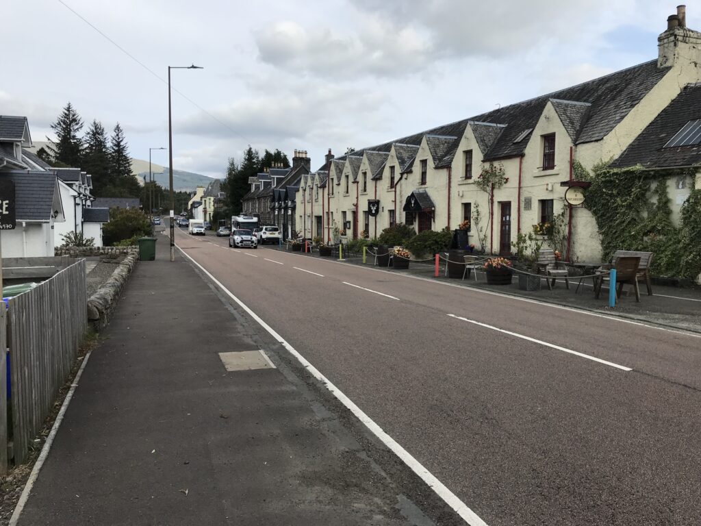
Strathyre is a picturesque little village that sits on the main A84 route to Lochearnhead.
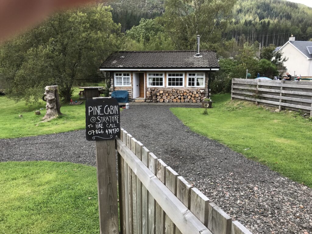
In Strathyre I went to a small park on the Main Street. Here I sat on a bench to eat my sandwiches and drink some juice. There was a shop and a pub on the Main Street. There was also a quaint, tiny log cabin for rent.
Strathyre - Glenoglehead
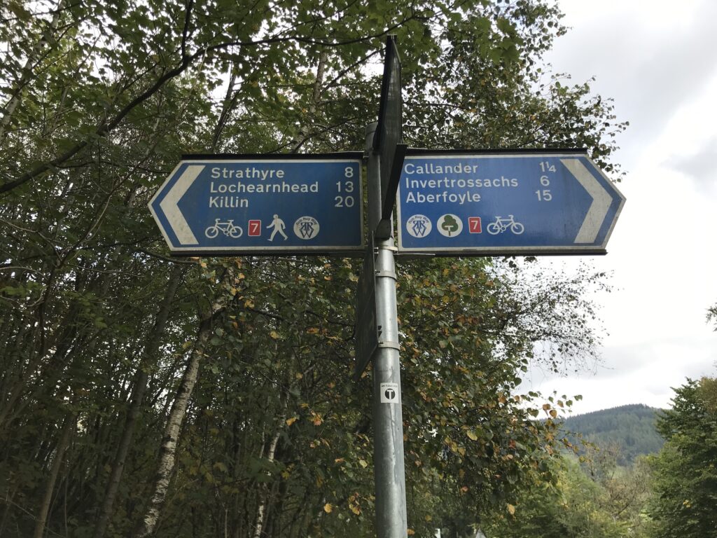
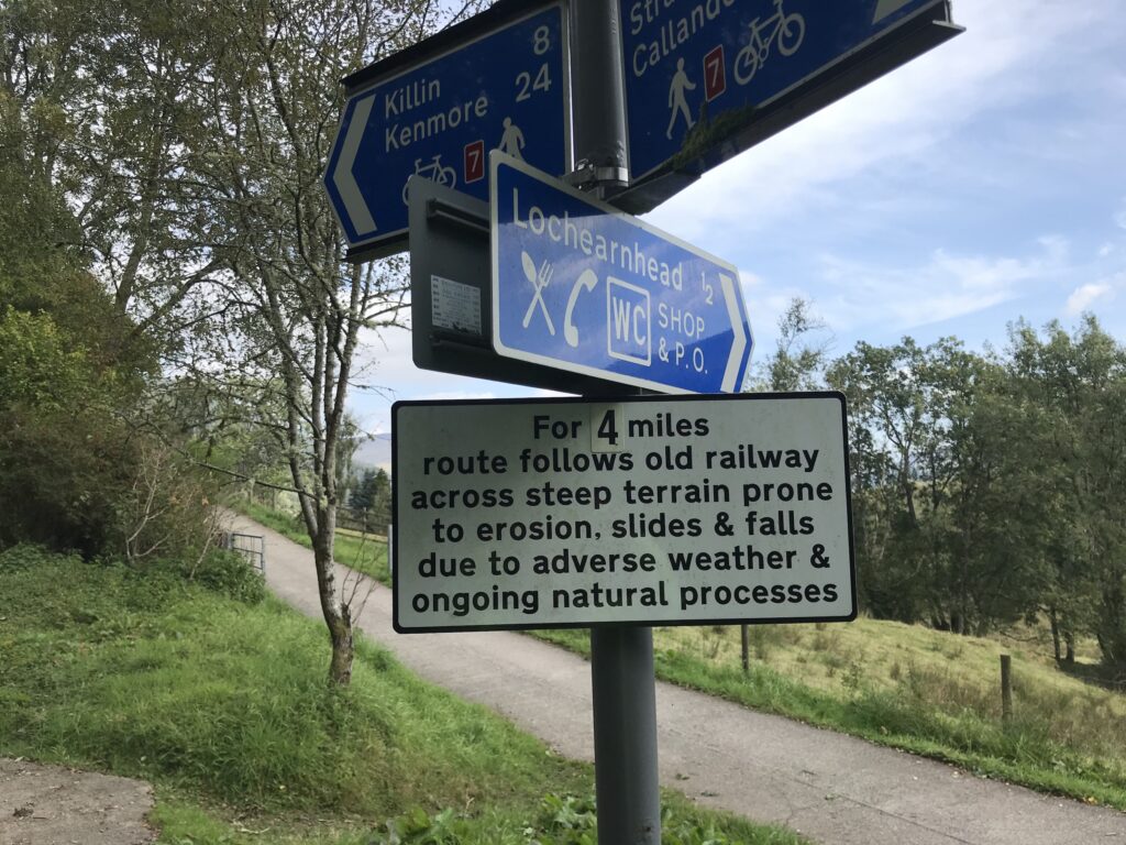
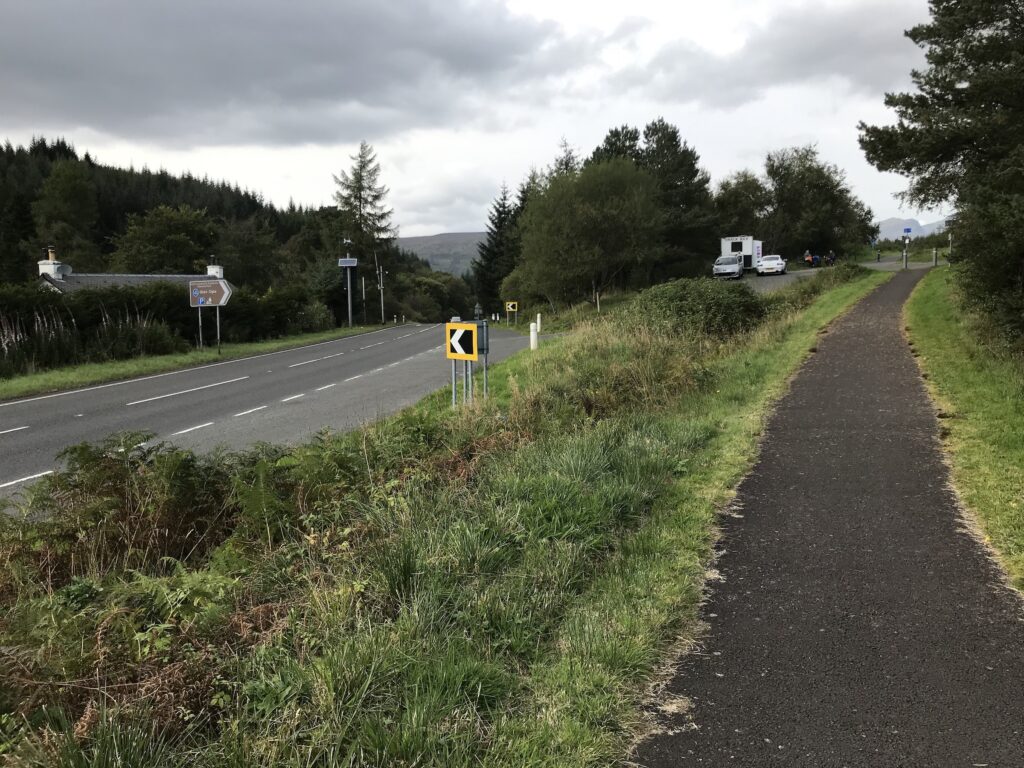
After lunch I rejoined the cycle track. I proceeded to cycle along and eventually reached the cut-off for the village of Lochearnhead. Here the sign below warned of “steep terrain prone to erosion, slides & falls” on the route to Killin.
After the unexpected steep, stoney zig-zag track at Loch Lubnaig I hesitated for a bit. I then realised that I had no other option but to go for it.
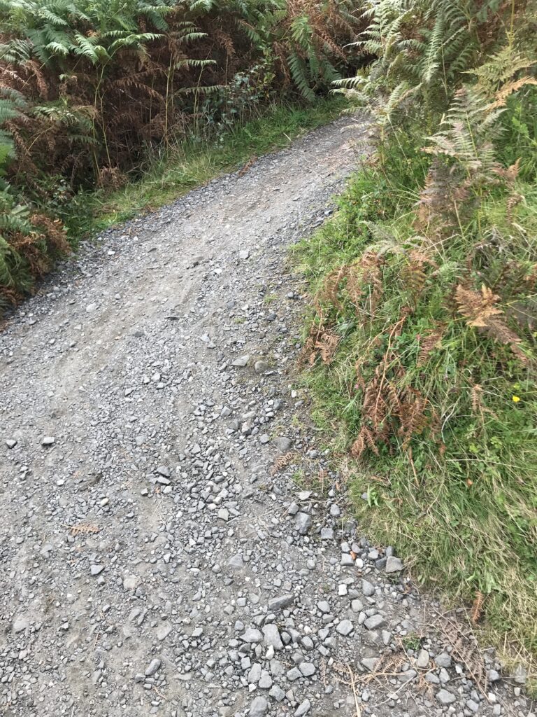
The first mile or so was very steep and wound it’s way gradually up the hill. As it turned out, though, it was on a fine paved surface. Then the path, although still relentlessly uphill, was on a white gravel surface, which was fine. There was no sign of erosion or falls. Perhaps the path was upgraded after the sign was erected? A sign similar to this would have been better at the start of the steep track at Loch Lubnaig.
Once onto the gravel surface the path continued steadily upwards. As the slope wasn’t too steep, at first I cycled using pedal power only. However, the path went on for such a long time I began to tire. I therefore ended up using the first level of assistance from the electric motor.
As with Loch Lubnaig, the height of the cycle path provided fine views over the loch and the village of Lochearnhead.
Further along there were also views across to the main road on the other side.
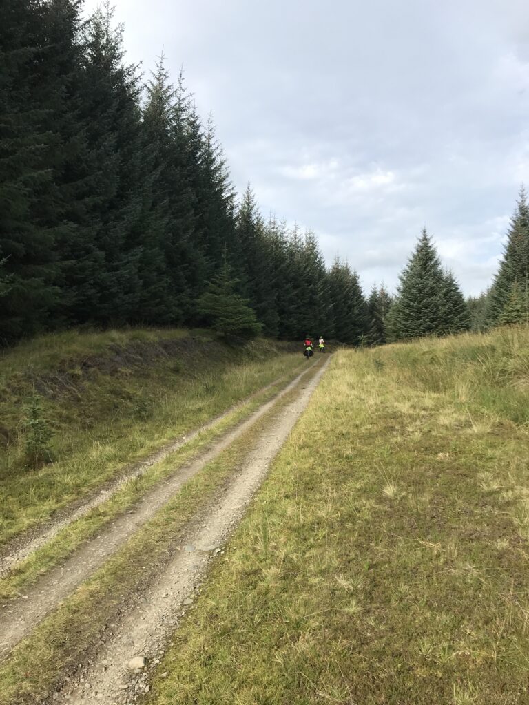
At the top the path eventually emerges at a junction with the A85 road to Killin. Once you cross over this road it is a short distance up to the start of a forest track at Glenoglehead. Here there is a snack van with tables and chairs.
Glenoglehead - Killin
The forest track had narrow ruts and was a bit stoney at times. Also, it was steeply downhill most of the way to Killin. Consequently the going was quite difficult at times.
The track eventually emerges from the forest at the junction with the A827. Here you turn right and follow the road into the popular tourist village of Killin.
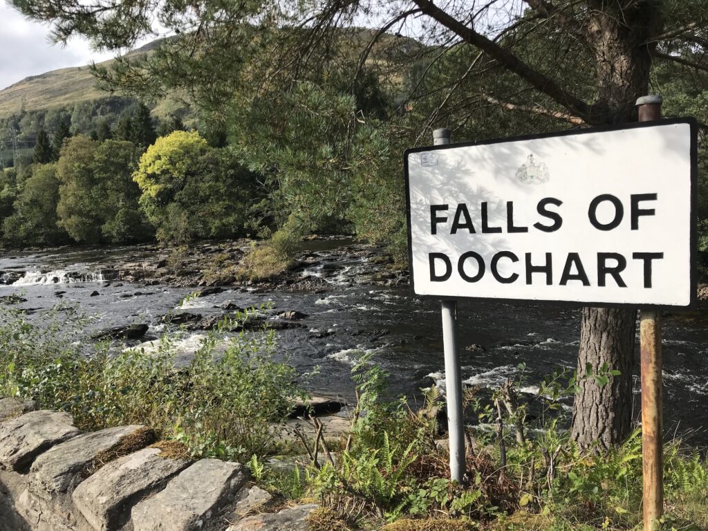
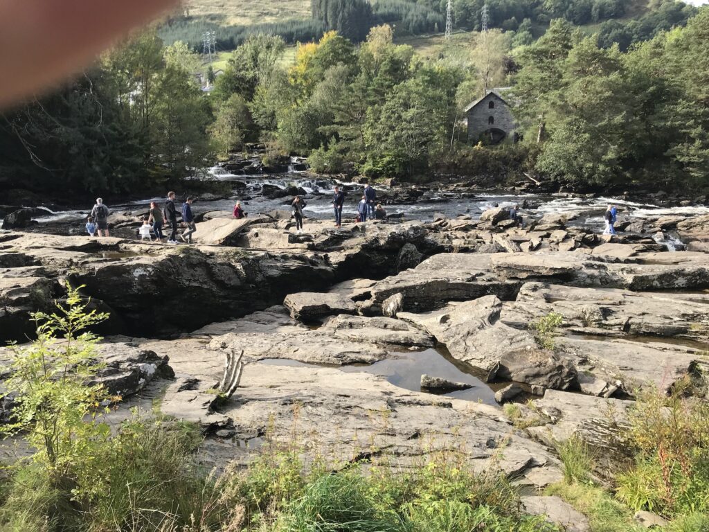
At the start of Killin are the very popular and picturesque rapids called The Falls of Dochart.
In the summer months there are always lots of tourists out walking and exploring on the rocks around the rapids.
When I arrived at Killin I cycled past the rapids. I turned left across the narrow ancient bridge over the river. I then cycled up to the end of the main street and then back again to the Falls of Dochart. Here I rested for a while and ate a choc bar and finished my orange juice.
Return to Callander
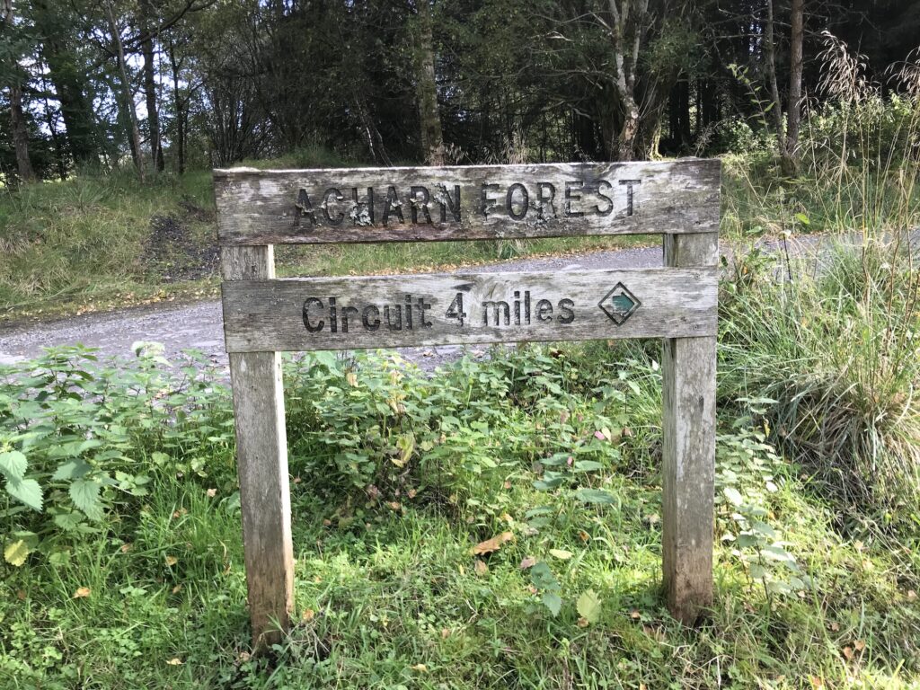
After my rest, I cycled back to the start of the track through the forest, which is called Acharn Forest. Although this is a private forest it also caters for recreational users. This can be seen from this sign at the start of the track.
The outward journey through the forest had been steeply downhill. I knew therefore that I had a stiff climb ahead of me. Not for the first time today I was glad of the assistance offered by the electric motor.
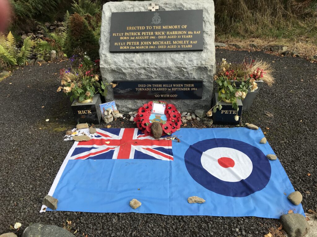
Near the end of the uphill track there was an impressive monument to two fighter pilots in their thirties who had died when their Tornado fighter jet crashed in the hills around here in 1994.
After leaving the forest track I crossed back over the A827. I then picked up the gravel path at the top of the road. From here it was an easier ride for the next hour or so as it was mostly downhill.
Then it was a climb back up to the top overlooking Loch Lubnaig. After this it was undulating for a while. By this time I was really tired and had to use the electric motor for any inclines.
I eventually got back to the narrow zig-zag track leading down from the forest road above Loch Lubnaig. I descended slowly and carefully and got down to the bottom okay.
It was good to get back onto the level cycle path that led all the way back to Callander. However, I was really tired and so took it slowly.
Levels of Assistance Used -
Cycling from Callander to Killin (NCN 7) on 20 Sep 20
I was really grateful to have the assistance from the electric motor at various stages during the journey. This was especially true on the return journey when I was quite tired.
I mostly used the first level of assistance, the ECO mode, whenever required during the day. A couple of times, though, I had to use the second level of assistance, the TOUR mode, to get me over the top of some of the hills.
Summary -
Cycling from Callander to Killin (NCN 7) on 20 Sep 20
Overall it was a good if demanding day on a route I hadn’t cycled on before. I knew it was going to be a long day. I had seen the cycle path sign indicating 22 miles from Callander to Killin when I did the cycle trip from Aberfoyle to Callander previously. So I knew that it was a round trip of 44 miles. This is a bit outside my normal daily distance of 30 – 35 miles. I had hoped it wouldn’t be too hilly, but I should have known better, this being Scotland!
The weather was good as it was dry and bright with little wind. Certainly there was a mixture of path surfaces. They ranged from nice smooth paved surfaces through narrow loose stoney paths to gravel paths to rutted forest tracks. There were also several steep hilly sections that I needed to use the electric motor on. The scenery and views were superb and there were some nice villages to visit on the way.