Cycling Kirkintilloch – Kilsyth – Campsie Hills on 23 Sep 22 was a fine route with canal & loch stretches, two steep hill climbs and fantastic views.
Choice of Route from my Cycle Routes in Scotland
This route is one of the cycle routes in Scotland that I cycle on a regular basis, normally at least once a year. It is included in my list of cycle routes on the Cycle Routes in Scotland page (click here to go to this page).
I chose this route for today as I wanted a more challenging route, as I had been cycling some short, level routes over the past few weeks. Also, I hadn’t cycled this route yet this year.
Route Map
Route map for Kirkintilloch - Kilsyth - Campsie Hills by Robert McColl on plotaroute.com
The map above is an interactive map. Press “Play” (click on the white triangle in the middle of the screen) to activate it. You can then zoom in or out by pressing the buttons that appear in the top left of the screen. The map can be moved by dragging it. Once you press Play the hills profile of the route will appear at the bottom of the map. Further comprehensive detailed analysis of the hill profile can be obtained by clicking on “More Detailed Profile” at the top left of the hills profile section. You can also select full screen mode by clicking on the icon in the top right corner of the map.
Timings and Distances -
Cycling Kirkintilloch - Kilsyth - Campsie Hills on 23 Sep 22
Anytime I cycle on one of my cycle routes in Scotland I use this section to record trip details. I record the times I took for the various parts of the day and the distances cycled. This includes when I started cycling and how long I cycled for between various points in the route. I also record the distances (in miles) between various points in the route and how long I rested for, etc.
I included this section so that I can look back at the timings and distances to help me plan my day if I decide to do this trip again. This section could also assist others with planning their day if they decide to do this route. Each person, of course, will have to adjust the timings to suit their own circumstances, e.g. cycling speed, rest times, etc.
(Note: The figures in brackets are the cumulative distances in miles from the start of the route.)
Arrived at car park 11.10 / Started cycling 11.35 / Twechar 11.55 – 12.00 (3.42) / Craigmarloch Bridge 12.10 – 12.40 (6.12) / Start of Tak ma doon Road in Kilsyth 12.55 (7.98) / Tak ma doon viewpoint 1.30 – 1.40 (11.15) / Carron Valley Reservoir 2.05 (14.19) / Junction with B822 2.50 (20.26) / Crow Road viewpoint 3.40 – 3.50 (25.50) / Lennoxtown 4.00 (27.10) / Back at car 4.25 (30.74) / Left 4.40 / Home 5.15.
Computer Readings -
Cycling Kirkintilloch - Kilsyth - Campsie Hills on 23 Sep 22
At the end of each trip there are a variety of readings on the bike’s computer. Some of them I record for future comparison purposes.
For this route the readings are as follows :
Trip distance 30.74 mls. | Max. speed 31.6 mph | Ave. speed 9.2 mph | Trip time 3 hrs. 20 mins. | Odometer 4,318.9 mls.
Log -
Cycling Kirkintilloch - Kilsyth - Campsie Hills on 23 Sep 22
Driving to the start of the route
On the previous occasions I did this route I drove from Glasgow along the M8 then up through Bishopbriggs to get to Kirkintilloch. This time, after studying the map, I stayed on the M8 then cut off to the M80. I then took exit 3, A806 Kirkintilloch, and this road eventually led into Kirkintilloch. It went right past the Barleybank Car Park, which is the start of the route. The new route didn’t prove to be much quicker but it was certainly more straightforward and direct to Kirkintilloch.
Kirkintilloch
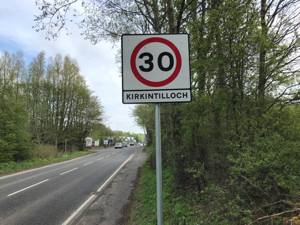
When I arrived at the car park the weather was quite bright. There had been some sunny spells on the drive here, although there were some clouds in the sky.
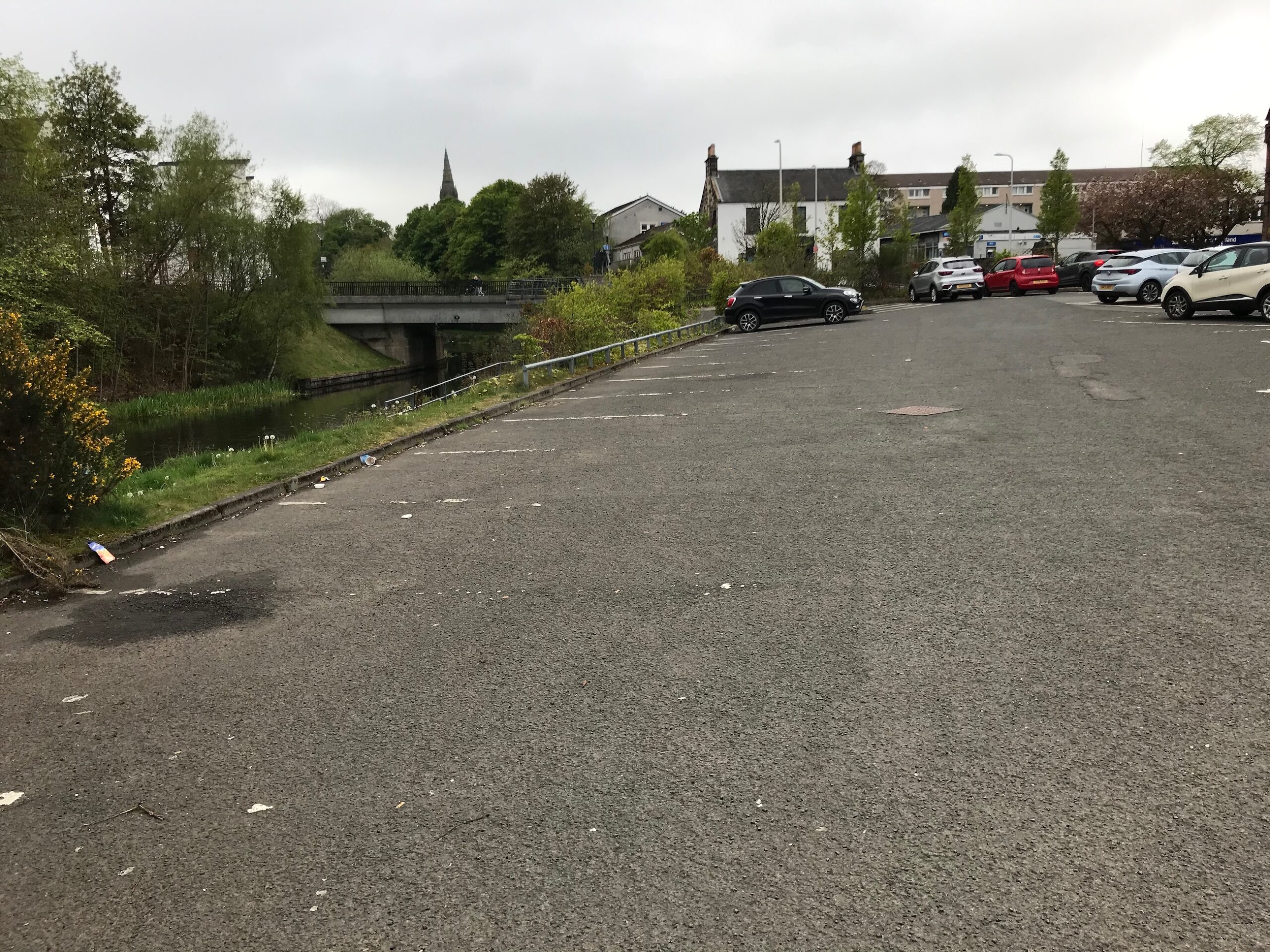
This car park is a Pay & Display car park and it costs £5.00 to park for over four hours. The car park sits right next to the tow path on the Forth and Clyde canal. It is adjacent to the main shopping street in Kirkintilloch.
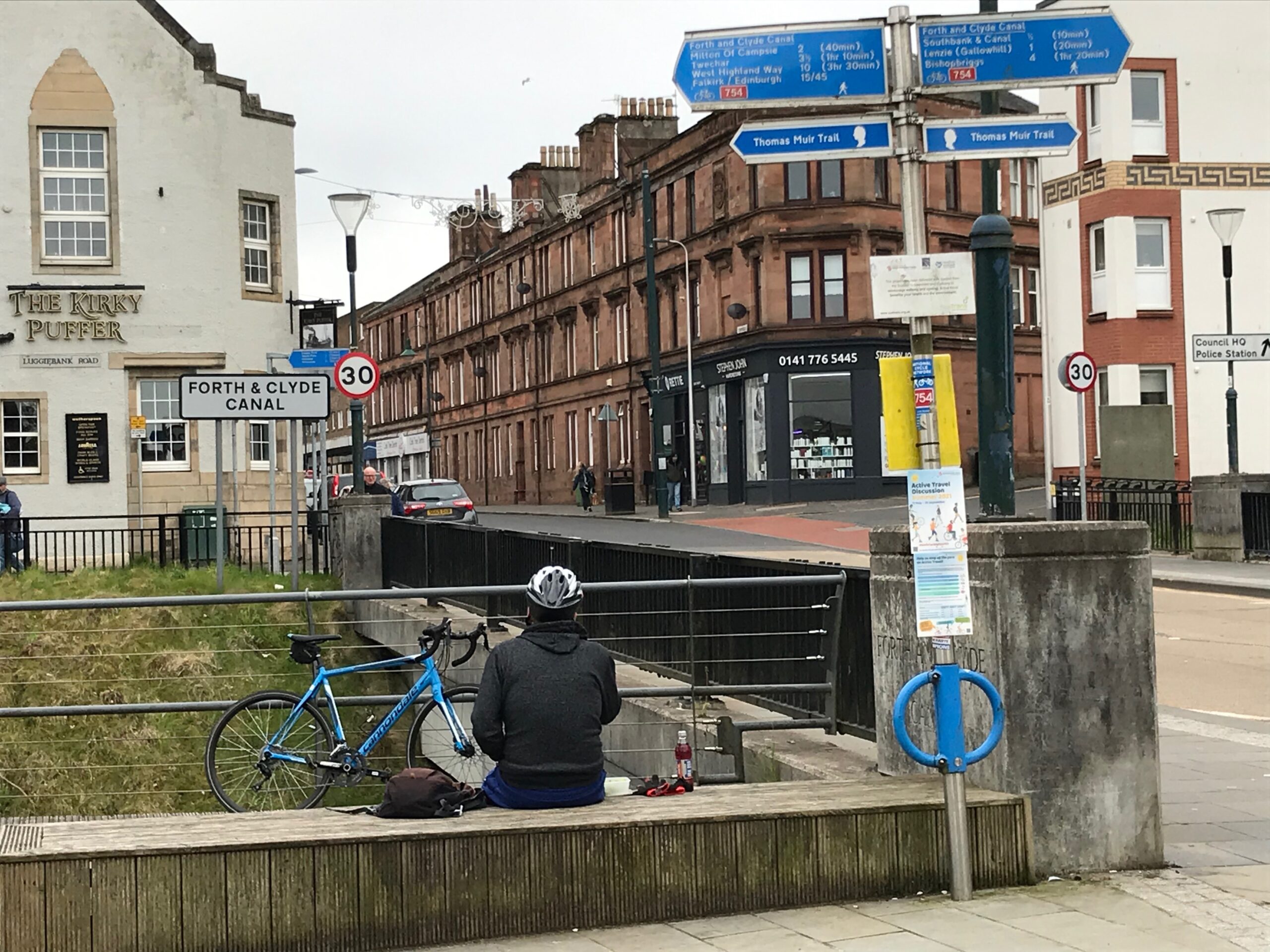
Before setting off I walked along the main shopping street to go to the toilet at the indoor shopping mall. I returned to the car park and got my bike out of the car.
Canal Towpath
I then dropped down to the canal towpath, which is part of the NCN 754 cycle route. I turned left along the path.
With the path being flat it was a nice gentle start to the day.
I continued along to the village of Twechar. I stopped here for a few minutes.
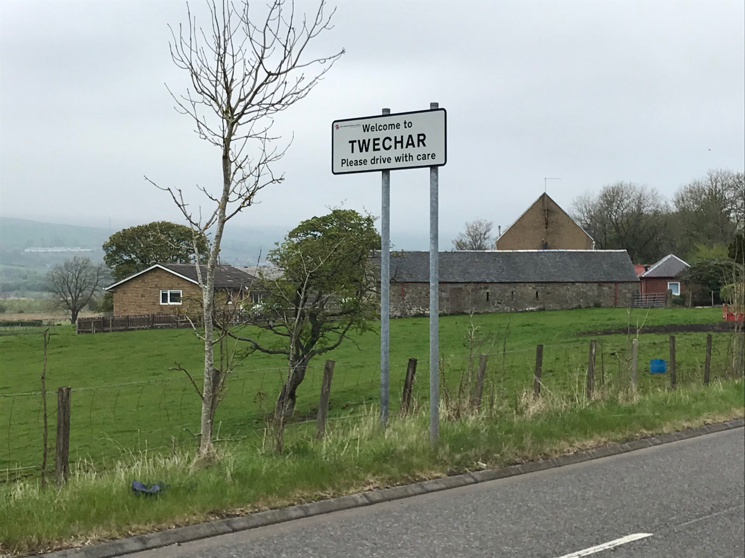
At Twechar there is a canal lock and the cycle path continues on the pavement for a short distance. It then returns to the tow path after passing the lock.
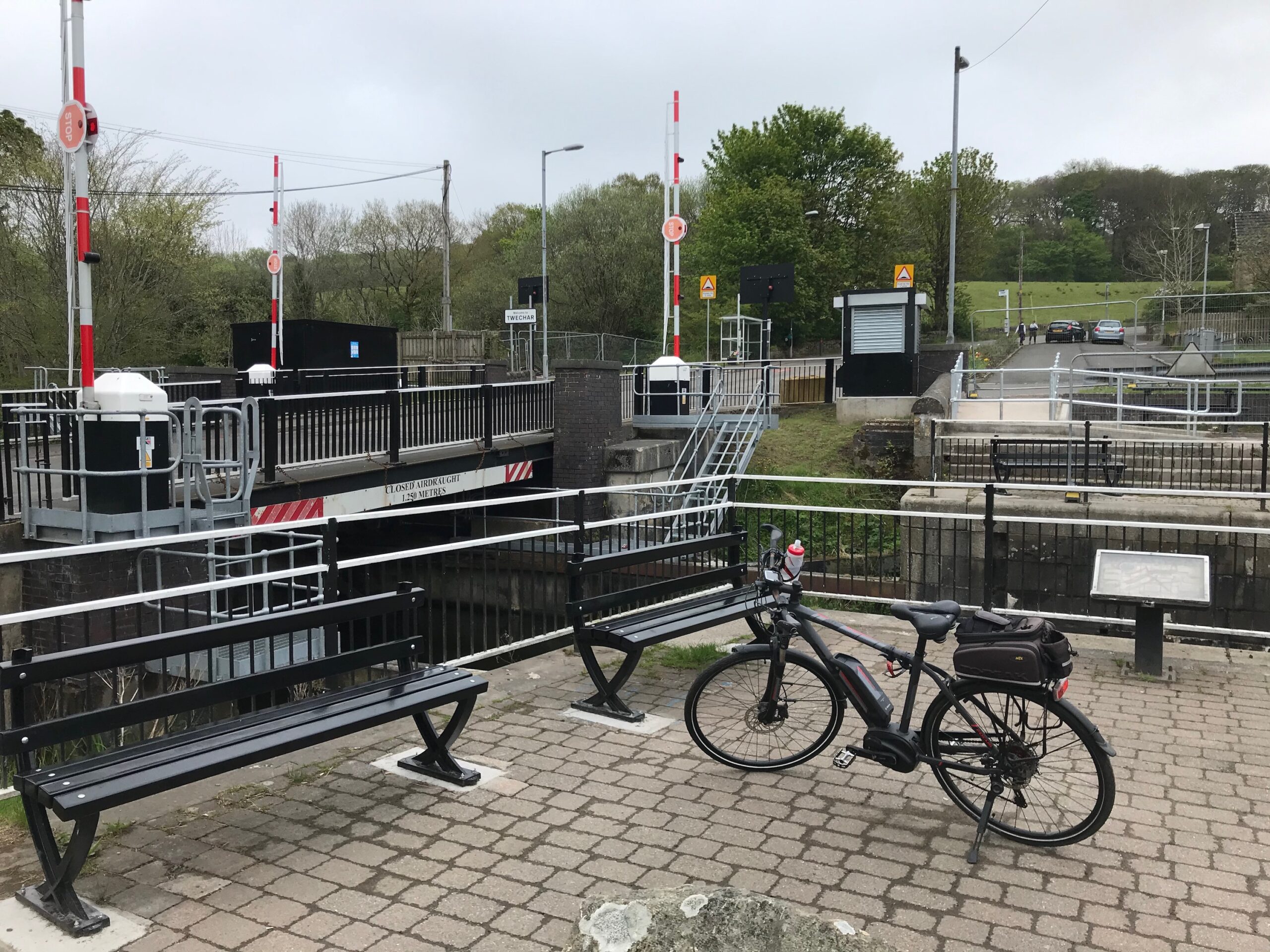
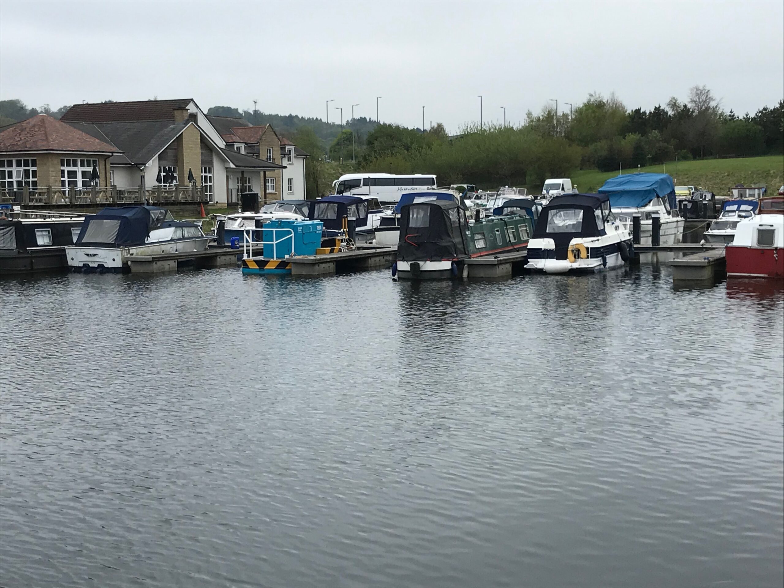
I continued cycling along the tow path and soon came to Auchinstarry. Here there is berthing for many barges and yachts.
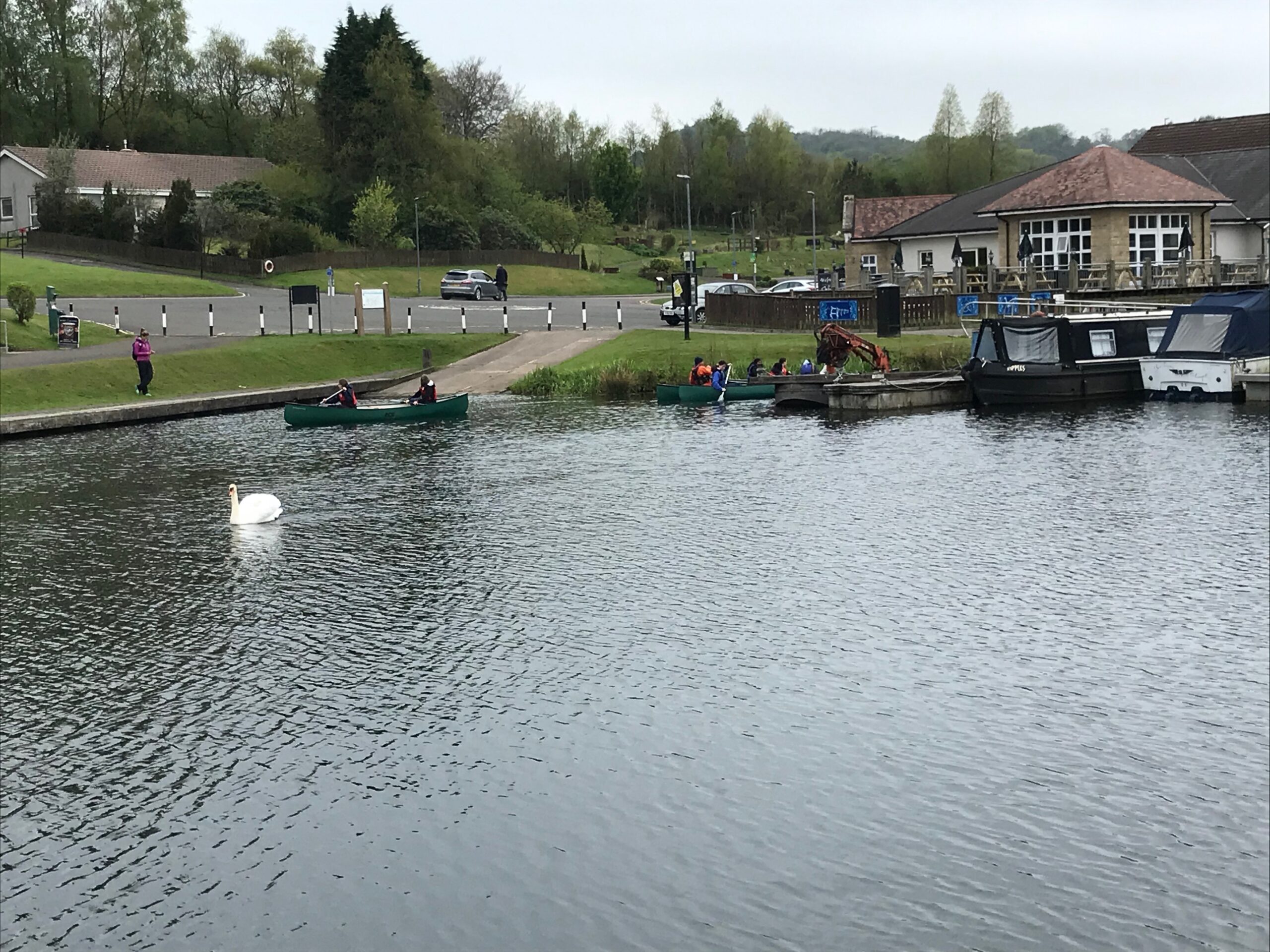
When I passed by there were some canoeists out on the canal.
I continued on the canal tow path until I reached Craigmarloch Bridge. Here the tow path crosses over a road to a small car park on the other side of the road.
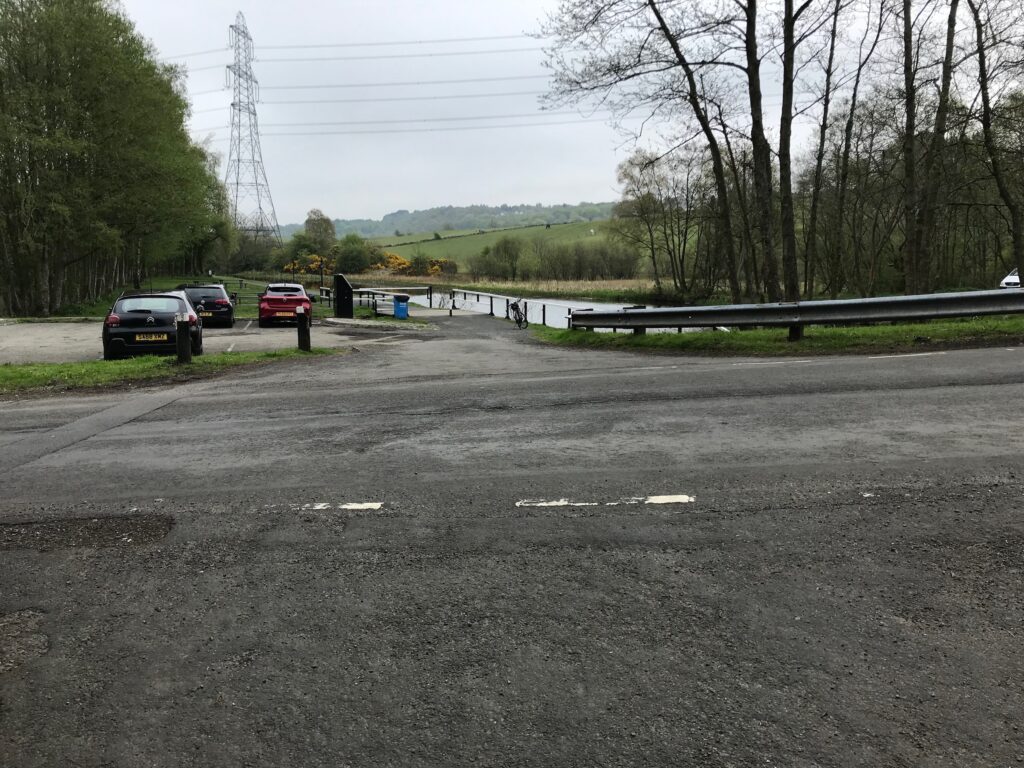
I crossed over the road and cycled along to the picnic benches at the other side of the car park. Here I sat at one of the benches and ate my sandwiches and drank my juice. The sun stayed out all of the time when I was having my lunch, which was lovely.
On Road To Kilsyth
After lunch I cycled back and turned right onto the road, which is not a busy road. I continued following this road as it wound it’s way through open countryside. When I reached the A803 road I turned left and cycled into the small town of Kilsyth.
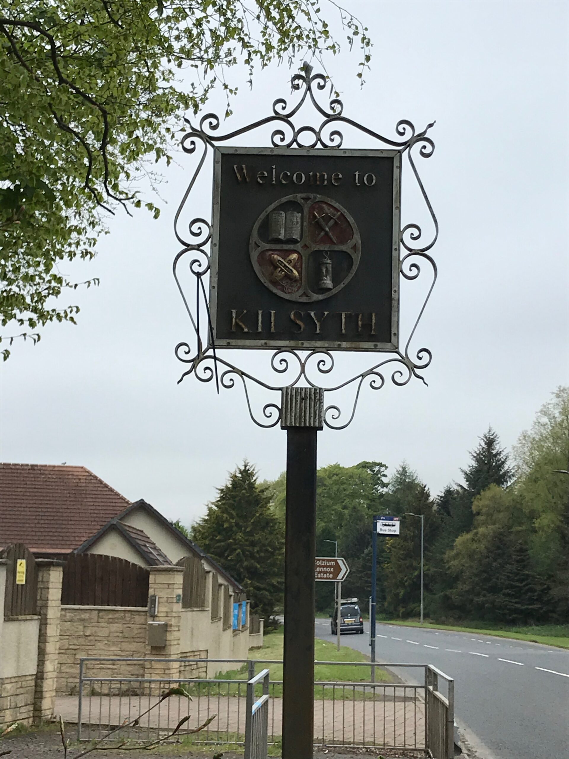
Tak ma doon Road
I cycled along the main road, which is quite busy, until I reached the cut-off to the Tak ma doon Road. The sign for this road is not too clear when cycling into Kilsyth. It is only a small part of a larger sign that is slightly offset and angled.
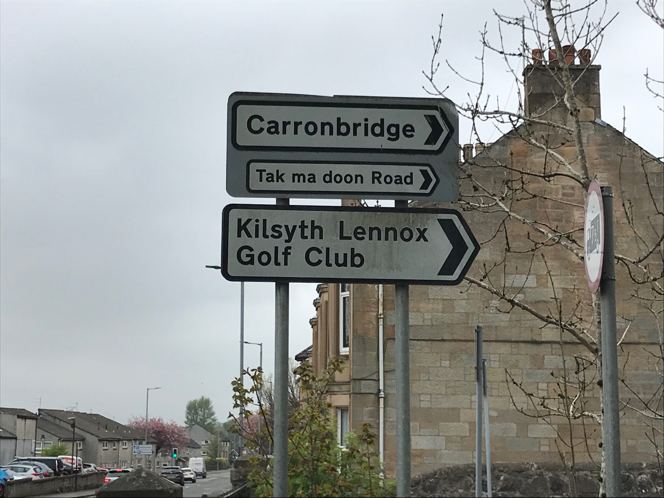
The Tak ma doon Road starts off steep right away and then there is an even steeper stretch after a short distance. It then continues to be steep and winding through open countryside all the way to the viewpoint at the top.
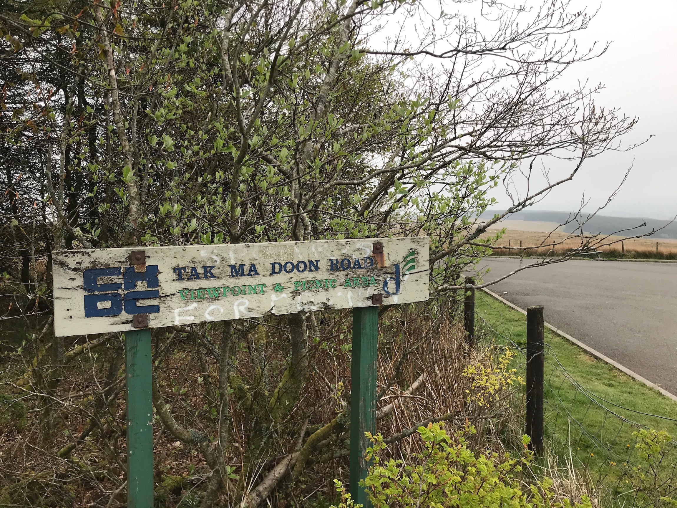
I stopped at the viewpoint to rest for about 10 minutes after the very steep and winding climb up. It was quite cloudy so the view was a bit restricted. Just as I was leaving there was some light rain.
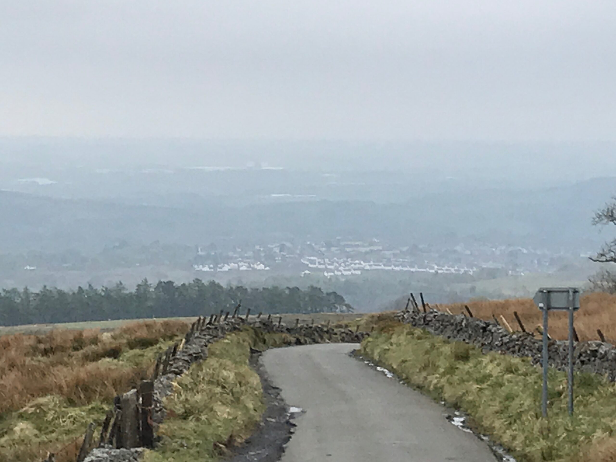
The descent from the viewpoint was very steep and so provided very welcome stretches of free wheeling. However, during the first part of the descent there was heavy rain that was blown into my face by a strong wind. Thanfully, though, the rain stopped for the second part of the descent.
There is one point part way down the descent where I took great care. Its at a point where the road goes down into a gully before a short ascent. Here a burn crosses over the road. Whilst the depth of the water is only a few inches the surface underneath consists of large cobble stones. It is essential, therefore, to slow right down to avoid any accidents.
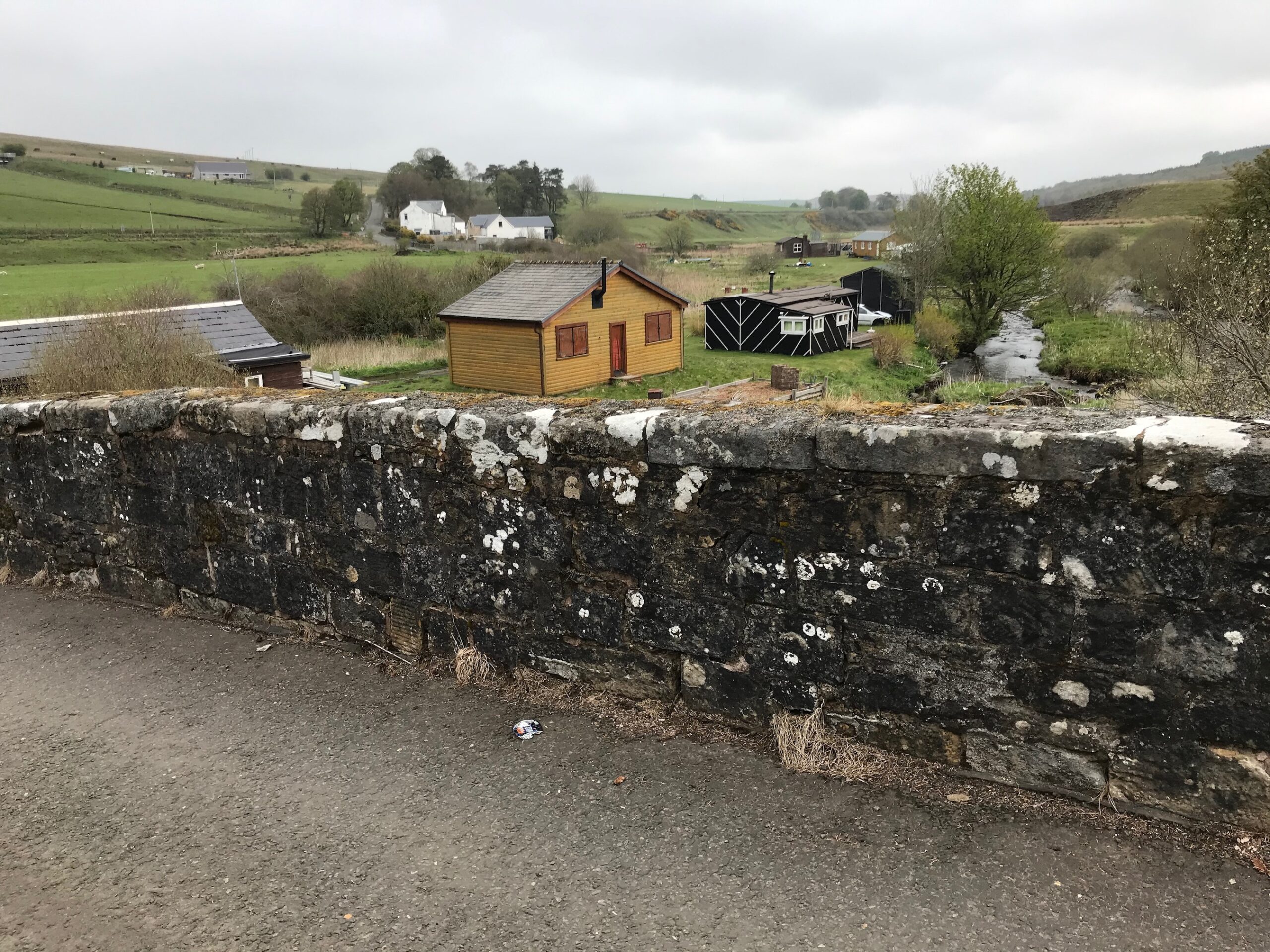
At the bottom of the descent is the Carron Bridge. Here there is a site for holiday huts along the side of the river.
Carron Valley Reservoir
I cycled along to the junction with the B818 road where I turned left. Further along this road is the start of the Carron Valley Reservoir. As I cycled along the road to the reservoir there was quite a strong headwind and it was a bit hilly, so it was a quite hard going. When I arrived at the reservoir it was cloudy but then the sun came out for a short while.
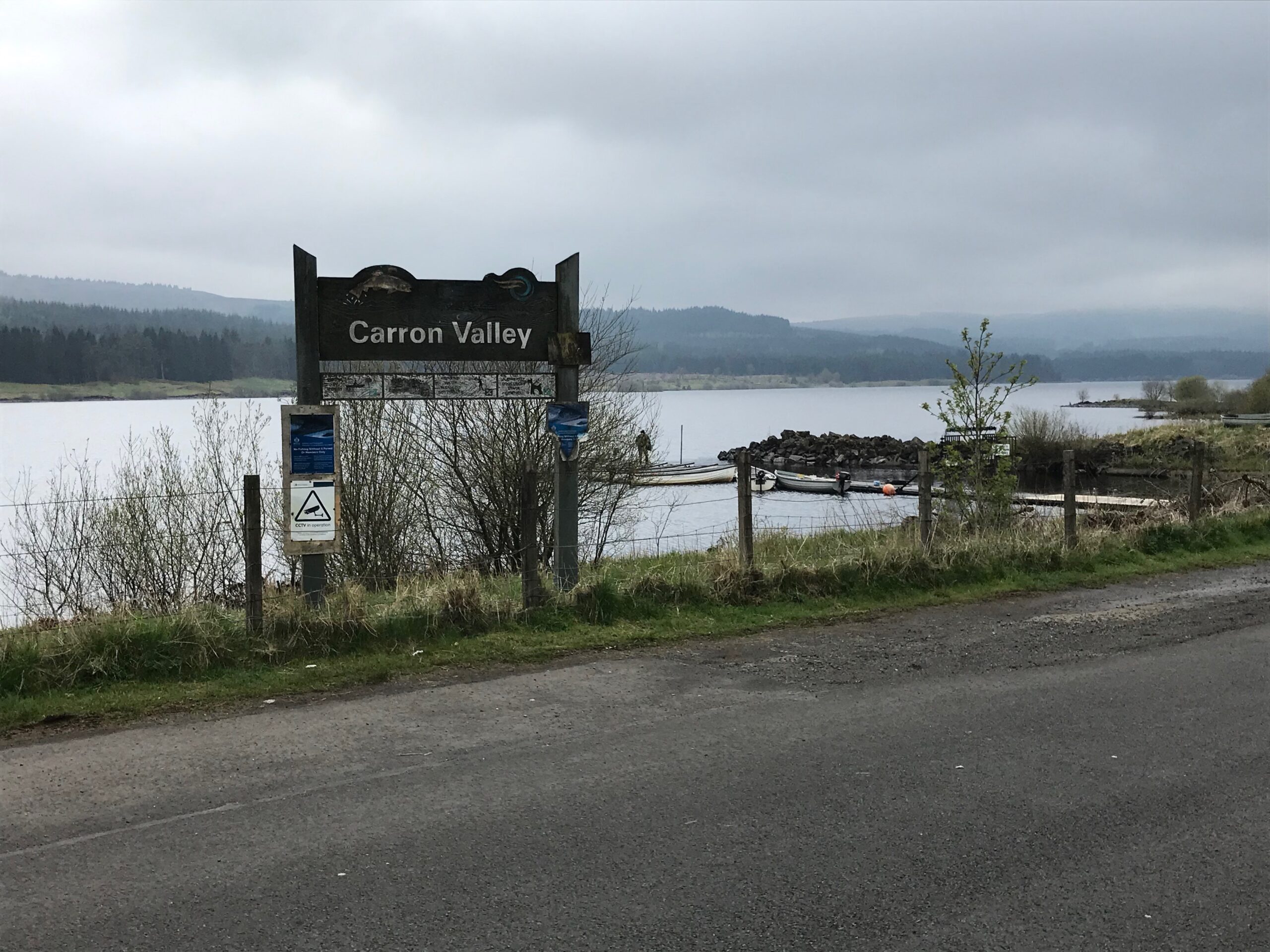
This next section of the route was extremely pleasant cycling. It was alongside the large loch with fine views across the loch. Also, the road was undulating so it wasn’t too difficult a ride.
The road alongside the loch ended at a small car park called Todholes. Here walkers park to access some of the walks available from this spot.
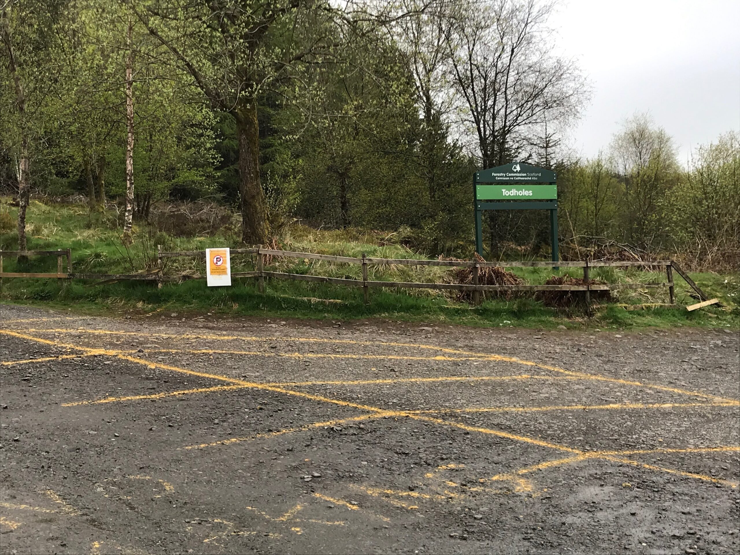
During the last stretch from near the end of the reservoir there was a really strong headwind. Also the road surface was really poor, with stony tarmac and poorly repaired potholes. Consequently I found this stretch really hard going.
Eventually there was a steady descent all the way to the junction with the B822 road. At this junction you can turn right if you want cycle the one mile into Fintry for refreshments at the Fintry Inn. I turned left onto the B822 to continue the route.
The Crow Road
This is the start of the long steep climb up this road, which is called the Crow Road. The first section is quite steep. I stopped for a rest after about 10 minutes of climbing. Then there are several other steep sections all the way to the top. It then becomes undulating for a while. Then there is a really long, steep descent to the viewpoint overlooking the small town of Lennoxtown.
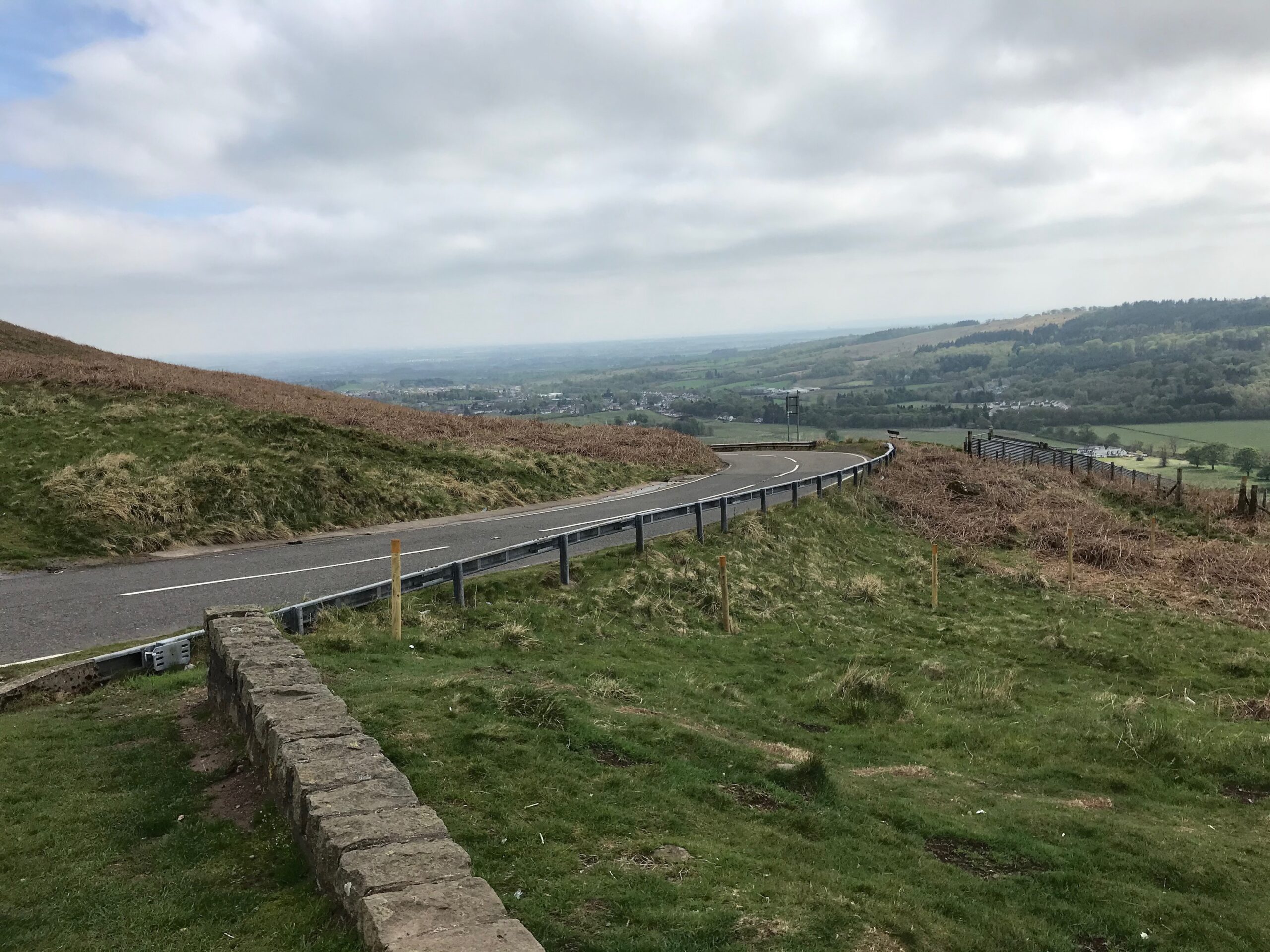
By the time I reached the viewpoint the sun had come out from behind the clouds and it remained out while I was having a 10 minute rest.
From here I enjoyed the free wheeling down the further steep descent all the way to Lennoxtown, although I had to be careful as the descent is very steep and there are a few sharp bends.
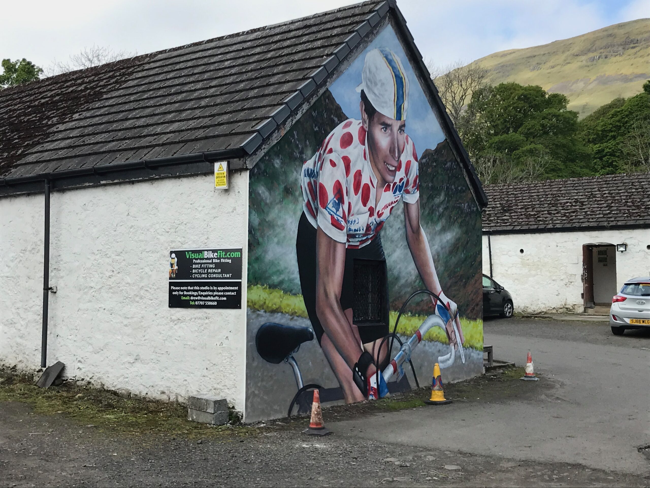
Near the bottom of the descent there is a large mural of a road cyclist on the end of a building. This is before you get to the centre of Lennoxtown. The building houses a bike fitting company for road cyclists (visualbikefit.com).
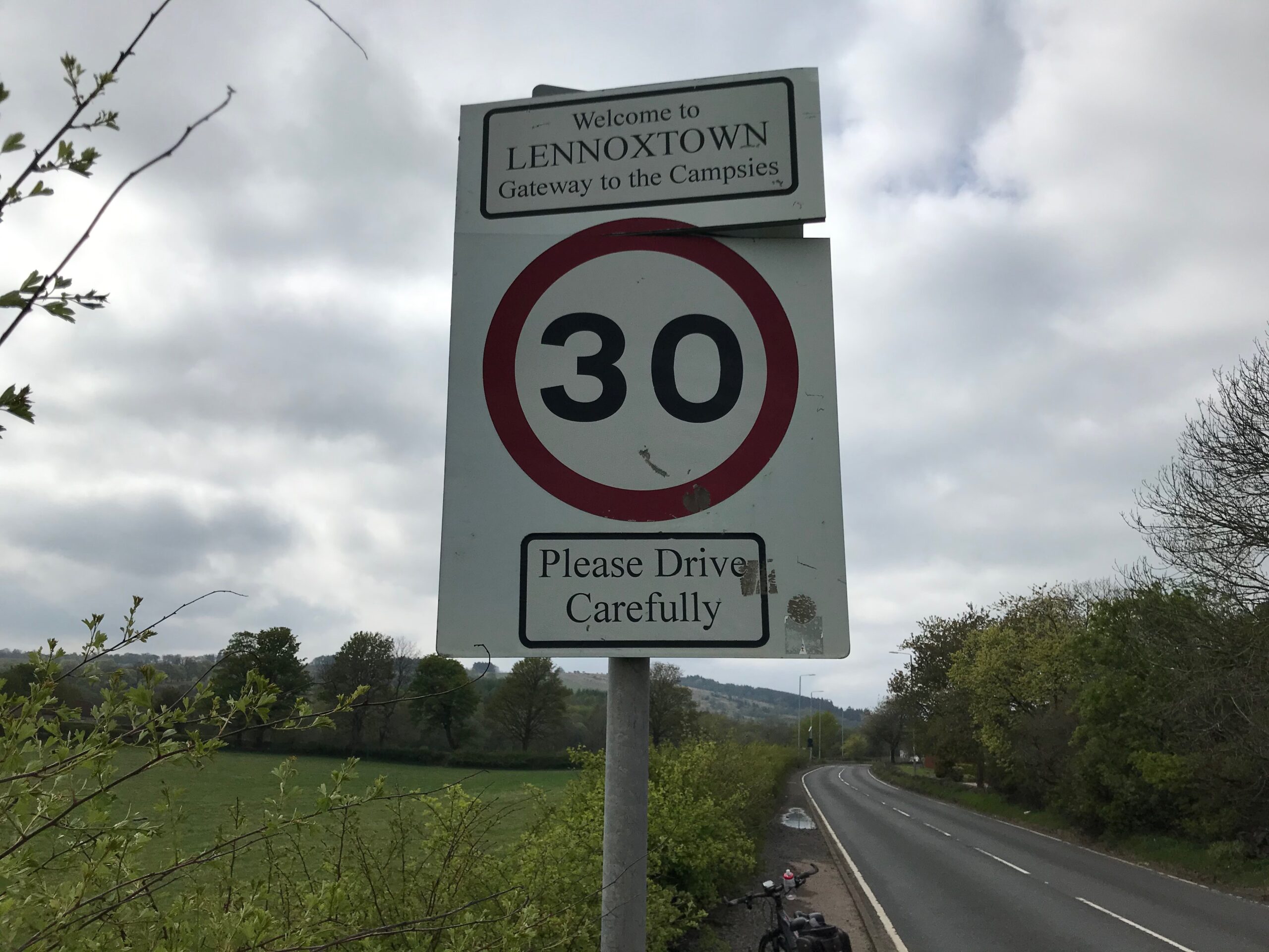
When I got to Lennoxtown I turned left onto the Main Street. Here there are a couple of cafes and some bars and shops. I cycled to the end of Main Street and left Lennoxtown on the A891. I continued on this road to Milton of Campsie.
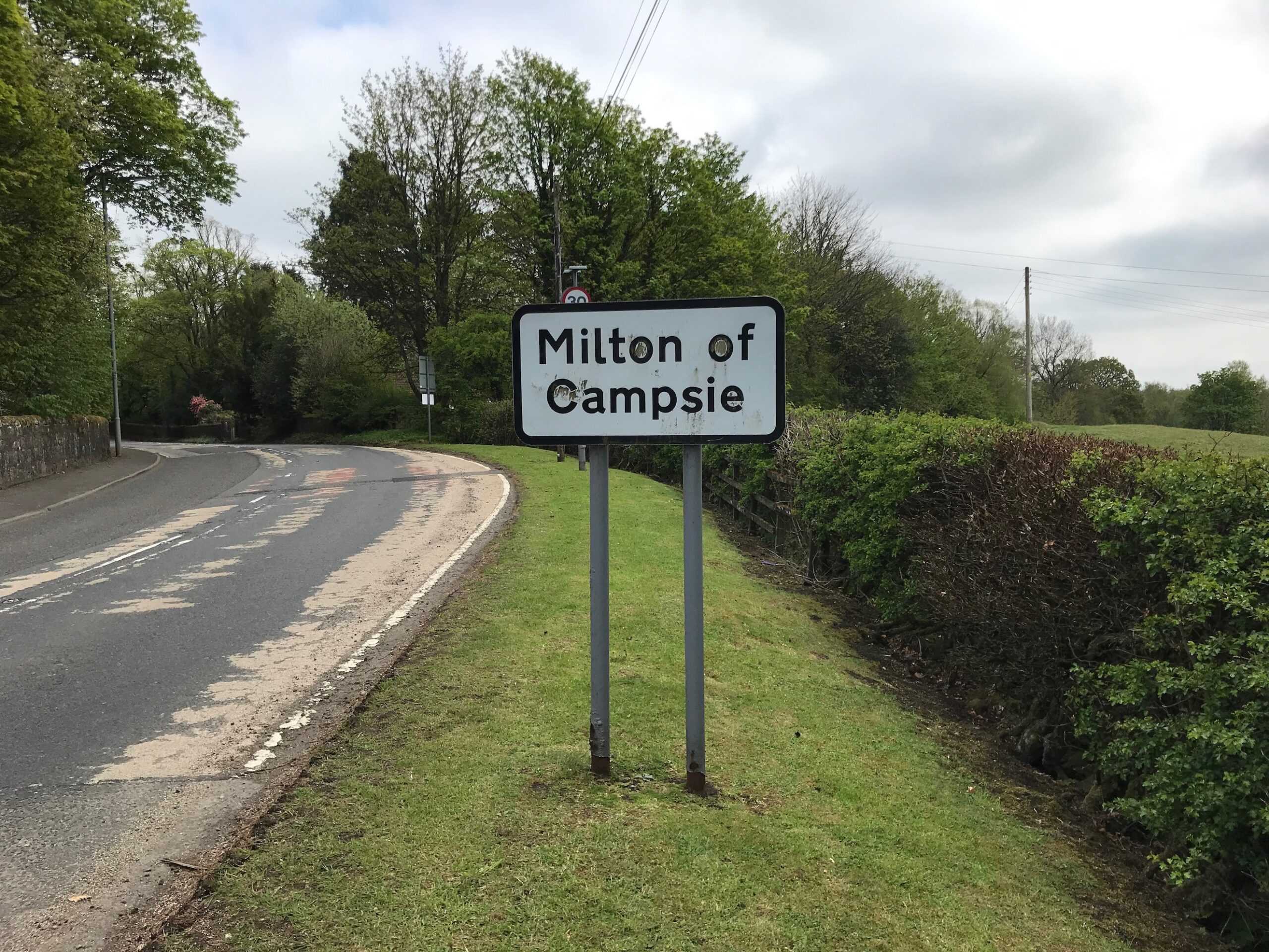
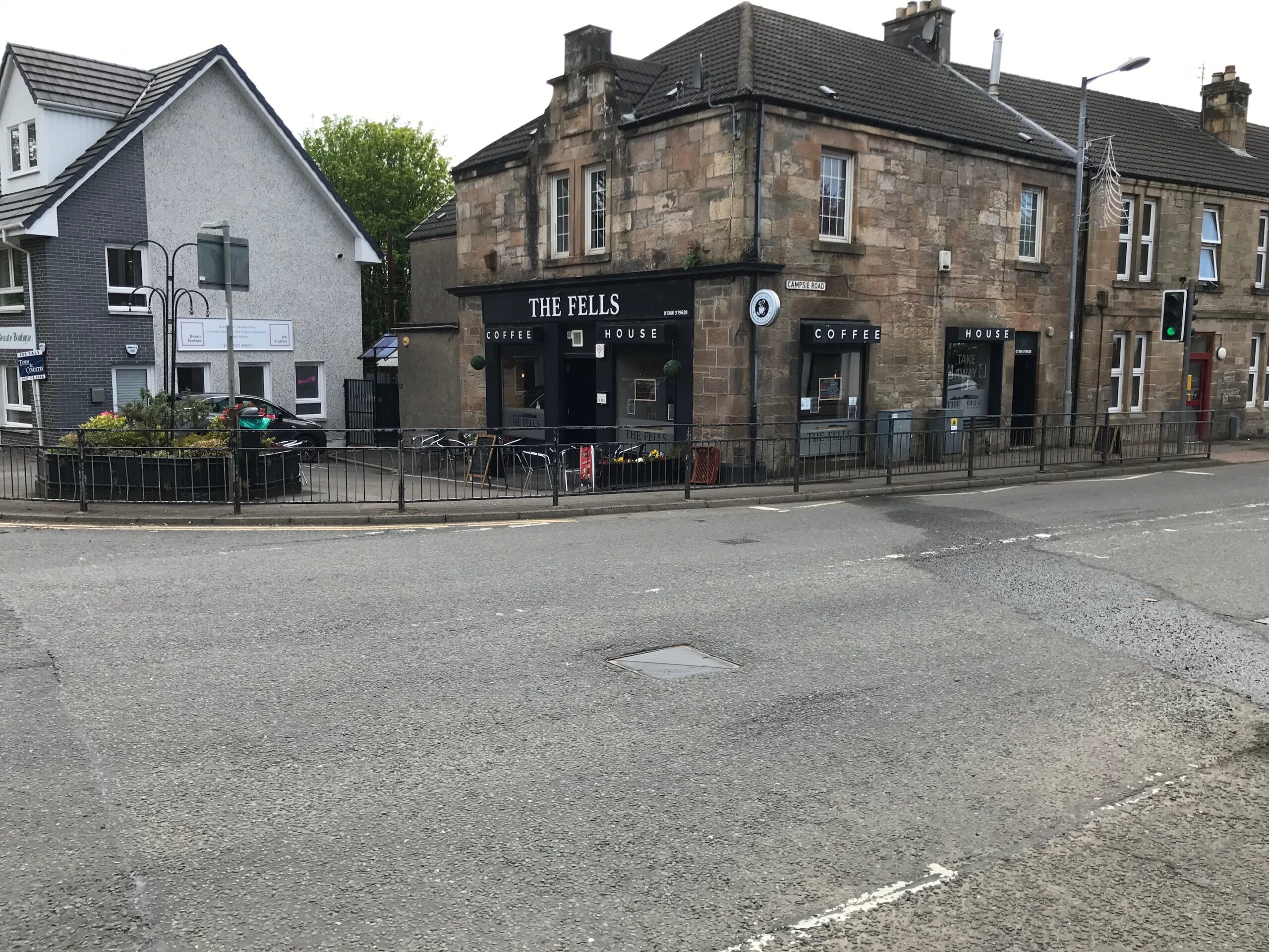
At Milton of Campsie, I turned right into the B757 Birdston Road. This is at a point where there is a coffee shop on the corner
Back to Kirkintilloch
I continued on the B757 through open countryside for a short distance until I reached Kirkintilloch. Here the road became busy approaching the junction with the A803 road in the centre of Kirkintilloch.
I turned right at this busy junction. Then I cycled along to the next set of traffic lights and turned left into the A806 New Lairdlands Road. I cycled up this road past a set of traffic lights where there is a right turn into Catherine Street. The start point of the route at the Barleybank Car Park was further along on the right hand side.
Electric Motor Assistance -
Cycling Kirkintilloch - Kilsyth - Campsie Hills on 23 Sep 22
Whenever I’m cycling on one of my cycle routes in Scotland I like to record how often I use the electric motor. This allows me to plan future trips. I also hope it will be of assistance to others to help them plan their trip.
At the start of this route the towpath was nice and flat alongside the canal bank. It was also quite flat on the roads to Kilsyth. I therefore didn’t need to use the electric motor for assistance at all until I started to climb the Tak ma doon Road.
The Tak ma doon Road starts climbing almost immediately so I had to use the first level of assistance, the ECO mode, after the first 50 yards or so. The road then got even steeper so I had to move up to the second level of assistance, the TOUR mode, to get me up and round the bend not far from the start. After that section I alternated between ECO and TOUR modes with some sections unassisted, until I eventually reached the viewpoint at the top.
When I turned left onto the road to the Carron Valley Reservoir there was quite a strong headwind. It was also a bit hilly up to the reservoir, so I had to use ECO mode for a short while to get me up to the reservoir.
I didn’t need any assistance from the electric motor again until I reached the start of the climb up the Crow Road.
Whilst this climb is not quite as steep as the climb up the Tak ma doon Road it is still a long, steep climb so I needed assistance from the electric motor to help get me up the steep sections. Similar to getting up the Tak ma doon Road, I used a mixture of ECO mode and TOUR mode with some sections unassisted.
The route from Lennoxtown back to Kirkintilloch was fairly flat so I didn’t need any assistance from the electric motor during that stretch of the route.
Battery Charging -
Cycling Kirkintilloch - Kilsyth - Campsie Hills on 23 Sep 22
I had to use the electric motor quite a lot when going up the two steep hill climbs and also on the road up to the Carron Valley Reservoir. Consequently, the fourth bar was flashing on the battery level indicator at the end of the route. As a result, when I got home the battery took just over one hour to fully recharge.
Summary -
Cycling Kirkintilloch - Kilsyth - Campsie Hills on 23 Sep 22
I enjoyed my day out cycle touring in this area on my e-bike.
This is one of my cycle trips in Scotland that I do at least once a year. The full list of my cycle trips in Scotland are detailed in the page Cycle Routes in Scotland.
This route is a good, varied cycle route with a flat stretch along a canal, a long, steep climb up to a viewpoint on the Tak ma Doon Road, a cycle along a loch side and another long, steep climb up Crow Road and then down to a viewpoint.
Whilst it was mostly dry with sunny spells in the morning, it was a bit disappointing that it had clouded over a bit by the time I got up to the Tak ma Doon viewpoint. As a result the views at the viewpoint were a bit restricted.
Although there was some heavy rain for a short period on the descent from the Tak ma Doon viewpoint, the rest of the day was fine.
Overall, therefore, I really enjoyed cycle touring in the open air in the countryside on my e-bike and getting some good exercise on the hill climbs.
