I chose Cycling Loch Lomond East Side on 2 Dec 22 as it was quite a hilly route and I had been doing short, fairly level routes recently, so today I wanted a route that was a bit more challenging.
Also, I had originally intended to do a hill walk today. The walk I had hoped to do was to climb Ben Lomond. However, when I checked the mountain weather forecast (on the website mwis.org.uk) it advised that there would be widespread hill fog, particularly in the Loch Lomond and Trossachs area. I therefore changed my mind and decided to go cycling instead.
This route ends at the start point for climbing Ben Lomond, so at least I would get to the bottom of the hill I had intended to climb today. Also, I thought that it would be good to cycle the east side of Loch Lomond today, especially as I hadn’t cycled this route yet this year.
This route is one of the cycle routes in Scotland that I cycle on a regular basis, normally at least once a year. It is included in my list of cycle routes on the Cycle Routes in Scotland page (click here to go to this page).
The map above is an interactive map. Press “Play” (click on the white triangle in the middle of the screen) to activate it. You can then zoom in or out by pressing the buttons that appear in the top left of the screen. The map can be moved by dragging it. Once you press Play the hills profile of the route will appear at the bottom of the map. Further comprehensive detailed analysis of the hill profile can be obtained by clicking on “More Detailed Profile” at the top left of the hills profile section. You can also select full screen mode by clicking on the icon in the top right corner of the map.
Cycling Loch Lomond East Side on 2 Dec 22
- Timings and Distances
Anytime I cycle on one of my cycle routes in Scotland I use this section to record trip details. I record the times I took for the various parts of the day and the distances cycled. This includes when I started cycling and how long I cycled for between various points in the route. I also record the distances (in miles) between various points in the route and how long I rested for, etc.
I included this section so that I can look back at the timings and distances to help me plan my day if I decide to do this trip again. This section could also assist others with planning their day if they decide to do this route. Each person, of course, will have to adjust the timings to suit their own circumstances, e.g. cycling speed, rest times, etc.
(Note: The figures in brackets are the cumulative distances in miles from the start of the route.)
Left Glasgow 8.40 / Arrived Killearn 9.25 / Started cycling 9.55 / Drymen 10.20 (4.19) / Balmaha 10.50 – 10.55 (8.16) / Milarrochay Bay 11.00 (9.19) / Rowardennan 11.40 – 12.10 (14.92) / Milarrochay Bay 12.50 – 12.55 (20.63) / Balmaha 1.05 (21.66) / Drymen 1.35 – 1.40 (25.76) / Killearn 2.20 (30.38) / Left 2.50 / Home 3.45.
Cycling Loch Lomond East Side on 2 Dec 22
- Log
When I arrived at Killearn the weather was dull and overcast as forecast. The skies were a battleship grey colour, although it was surprisingly mild and there was little wind.
I managed to get a space to park the car in Station Road, as I now normally do when starting a route in Killearn. This was just as well as the car park in front of the health centre was full.
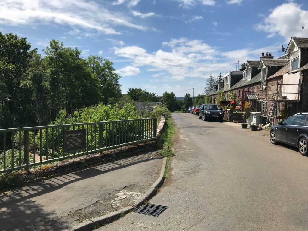
Killearn - Gartness
I cycled down Station Road and turned right into Gartness Road. From here there was a long downhill stretch. Then there were a couple of small climbs before a final descent into the small hamlet of Gartness.
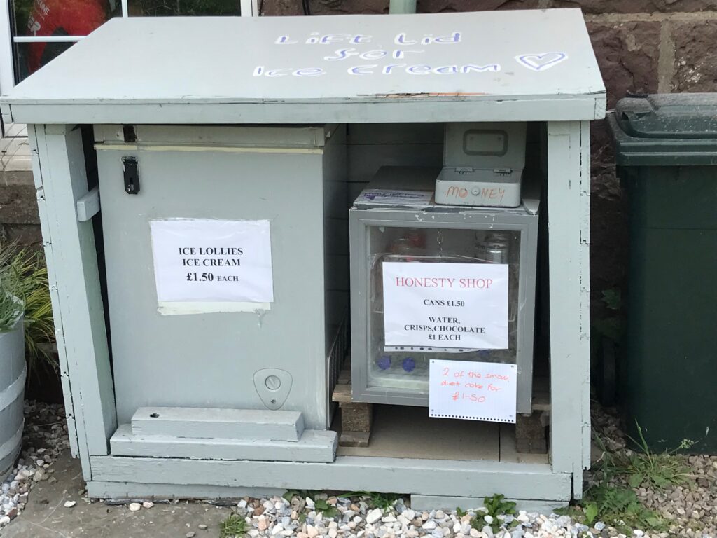
Gartness used to have what is known as an “Honesty Box”. This is like a small unmanned shop where there are drinks, chocolate bars, ice cream, etc. You can help yourself to what you want. It is assumed that you will be honest and place the appropriate cash in the money box.
However, this is no longer in use, presumably because it wasn’t used very much or perhaps the owner has moved away.
Gartness - Drymen
There is a quite a short, sharp, climb coming out of Gartness that is quite steep. Fortunately this is followed by a steep descent.
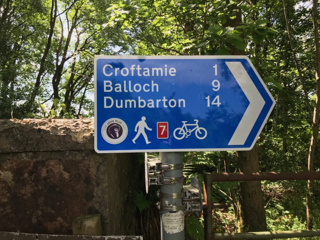
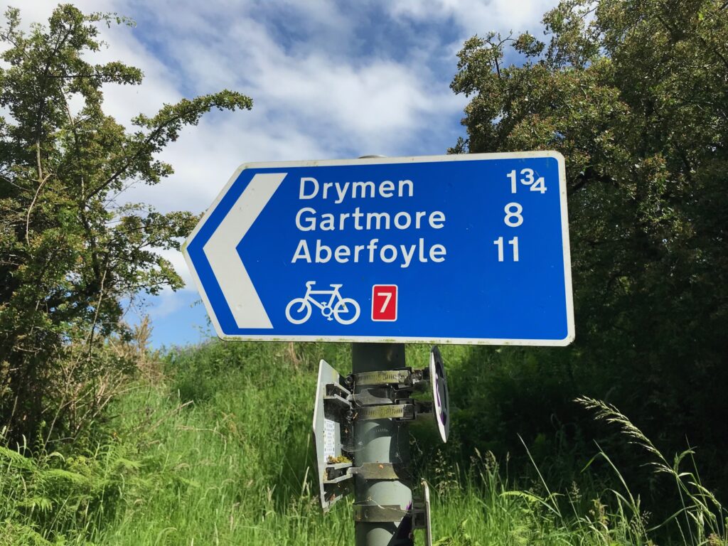
Part way down this descent on the left hand side of the road there is a cut off onto the NCN 7 cycle path in the other direction. This leads to Croftamie, Balloch and Dumbarton.
Across the road there is another NCN 7 sign. This one leads to Drymen. etc. So I continued cycling straight ahead to Drymen.
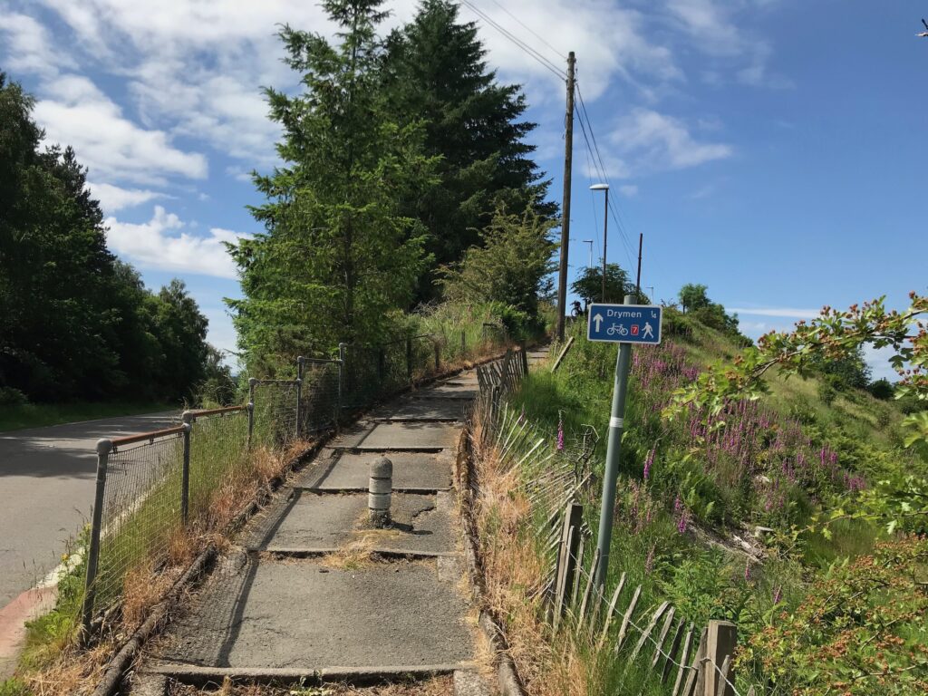
After this descent there was a long, steep hill to climb. The road then gradually descended until it reached the busy A811 road. Here I carefully crossed the road to get to the path on the other side. This path is formed by long wide steps so I had to walk my bike up it.
It is possible to stay on the bike and avoid this path. You can turn left onto the A811 and then turn right onto the B858 Main Street. This takes you into the centre of Drymen. You can also get to the centre of Drymen by turning right onto the A811. You then turn left onto the Old Military Road / Stirling Road.
I pushed my bike up the path to the road at the top. Then I cycled down the road into the centre of Drymen.
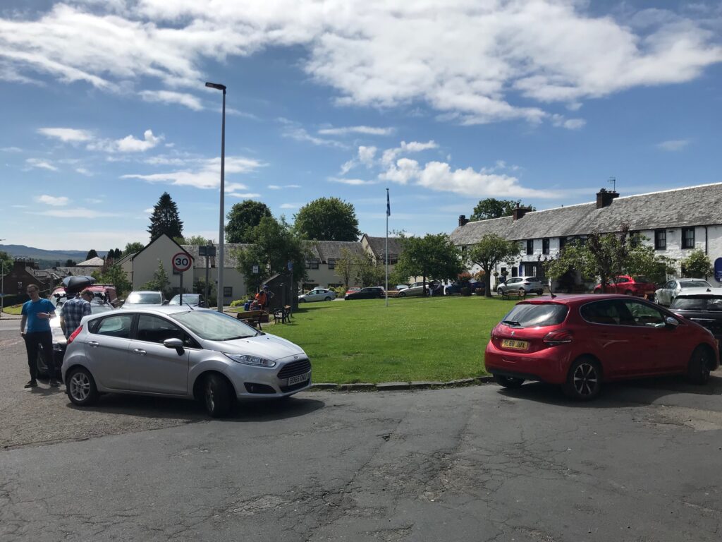
I only stopped in Drymen for a few minutes as I wanted Ito make sure that I got back before it got dark.
Drymen - Balmaha
At Drymen I turned into Balmaha Road. This road is undulating, although the hills in the first stretch are not too steep, but later on there is a seemingly never ending series of short, sharp inclines.
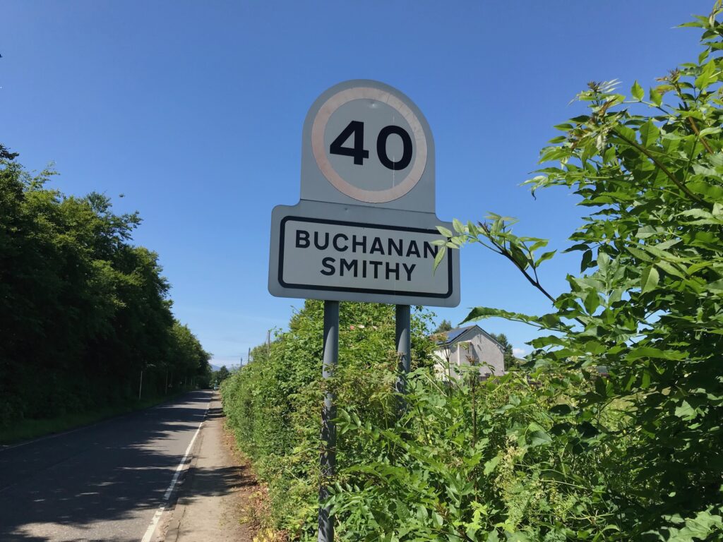
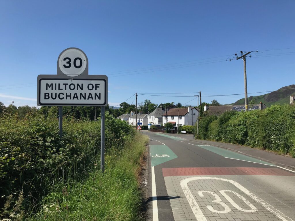
The road passes through two small villages – Buchanan Smithy and Milton of Buchanan.
The name of Buchanan also features in the Buchanan Arms Hotel in Drymen. Presumably the hotel and villages are named after George Buchanan, a 16th. century poet, historian and tutor to queens. He was born in Killearn. There is huge, very tall monument to him in Killearn.
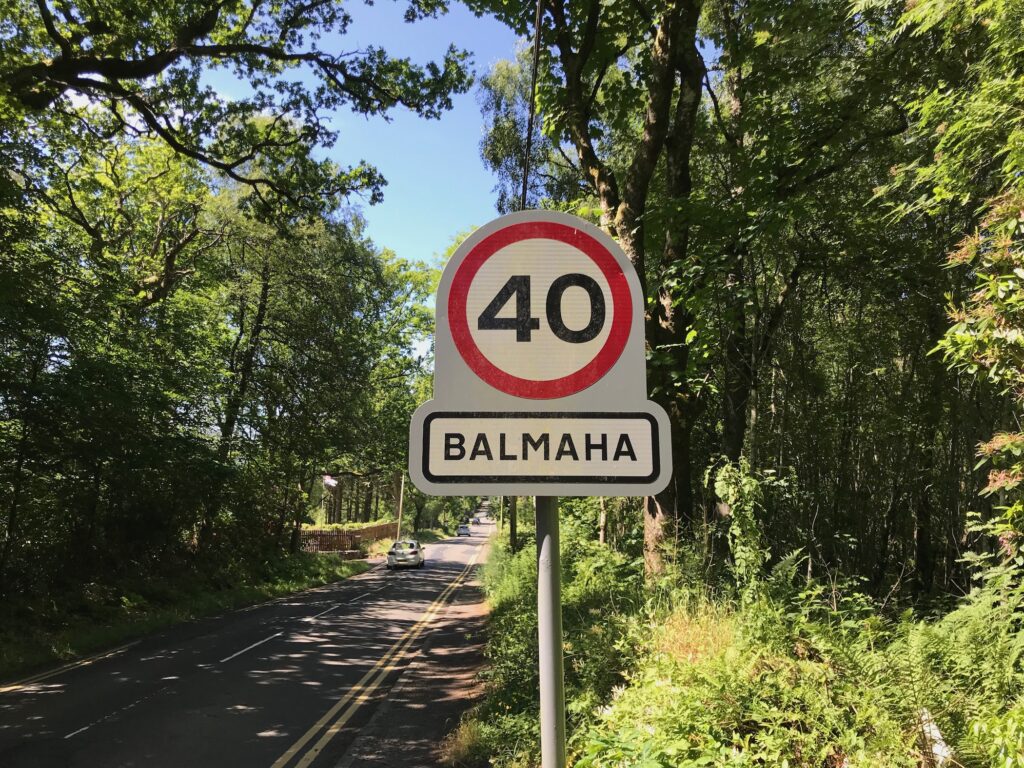
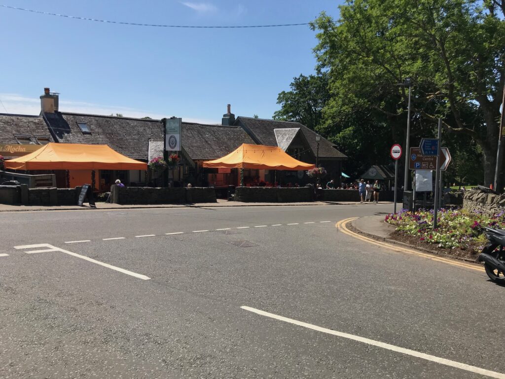
I continued cycling until I reached the popular tourist village of Balmaha, which is situated on the shores of Loch Lomond.
In Balmaha there is a large car park with a visitors centre and public toilets. There are also cafes with outside seating on the Main Street, although they ere of course quiet at this time of year.
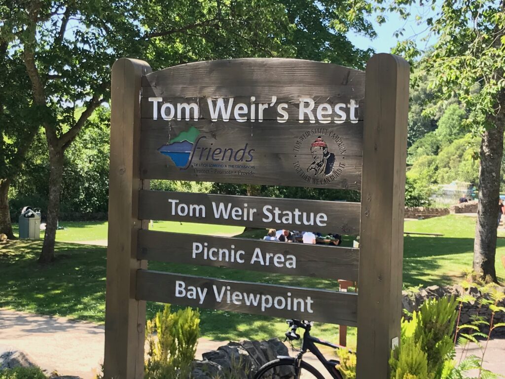
Further along on the Main Street there is a small park dedicated to Tom Weir. He was a well known mountaineer, climber and hill walker. He had his own television show called “Weirs Way” that was very popular.
In the small park there is a picnic area and a viewpoint over the bay. There is also a very lifelike bronze statue of Tom Weir.
Again I only spent about five minutes here to save time.
Balmaha - Rowardennan
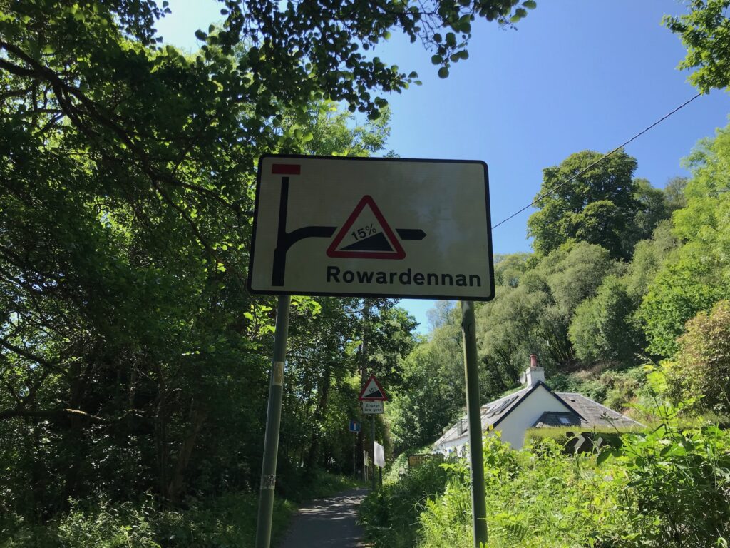
I left Balmaha by cycling along to the end of the Main Street. The road then turns sharply right and up a short but very steep hill with a 15% incline.
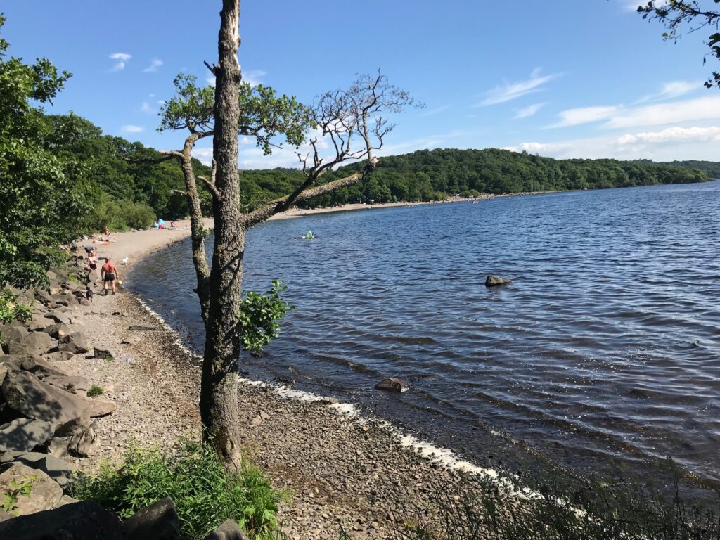
Ten minutes after leaving Balmaha I reached Milarrochay Bay. This is a spot that is very popular with families in the summer. It has a stony beach and kids like to play in the water here. I didn’t go into the car park here on the way out as I intended to stop here on the way back.
The stretch of the route between Balmaha and Rowardennan is a long series of small hills. Although they are not very high some of them are very steep. So it is a succession of climbs and then descents, which I found very tiring.
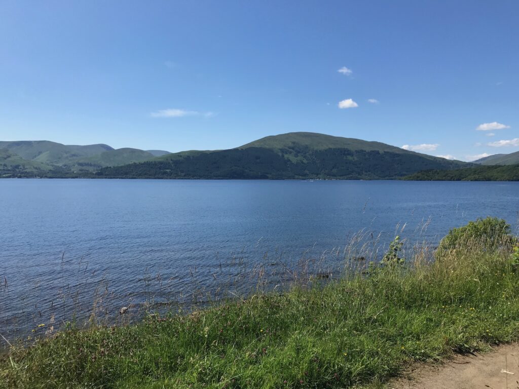
This is normally offset by the wonderful views of Loch Lomond and the hills on it’s west side. However, today it was dull and overcast and most of the tops of the hills were covered in hill fog. There were still fine views though across the loch.
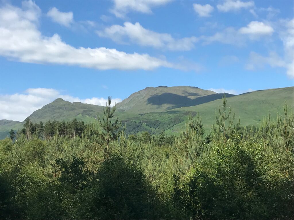
The hills on the west side of Loch Lomond include Beinn Dubh which is one of the hills I climb each year. It is accessed from Luss on the west side of the loch. The picture below shows this hill in summer time.
I continued cycling up and down the hills alongside the loch. I found the last stretch to Rowardennan really difficult as it had some very steep hills.
Rowardennan
Eventually I arrived at Rowardennan, which is where the road ends.
There is only one eating place at Rowardennan and that is the Rowardennan Hotel. It serves food in the bar and it has picnic tables outside. A water sports company operates next to the hotel.
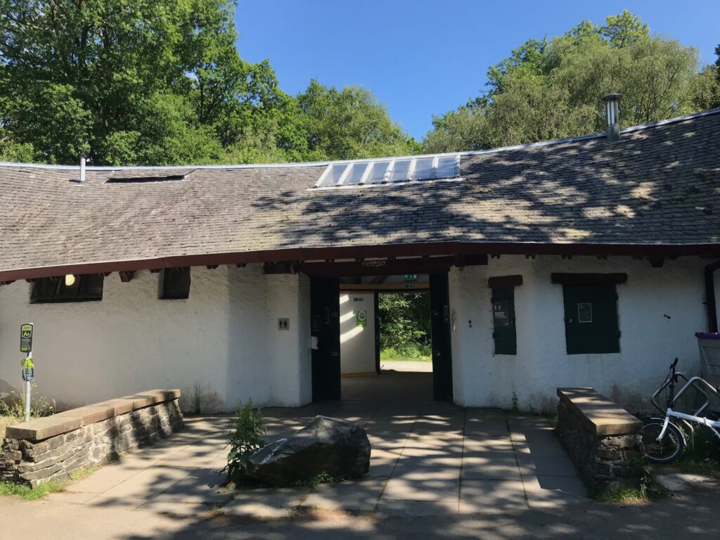
Past the hotel there is a car park that is very busy in the summer months. It is mainly used by walkers climbing Ben Lomond. At the car park there is a small visitors centre with public toilets. As expected it was quite quiet at this time of year.
There is also a small bay and a jetty at Rowardennan. There is a Youth Hostel further on from the car park.
By the time I reached Rowardennan I was really tired due to all the hills I had to cycle up all the way from Killearn.
I stopped at a bench at the small stony bay to eat my sandwiches and drink my juice.
It was still dull and overcast with a battleship grey sky. The mist was down over the tops of most of the surrounding hills and it was also down to the end of the loch in the distance. However, it was still remarkably mild for the time of year and there was no wind.
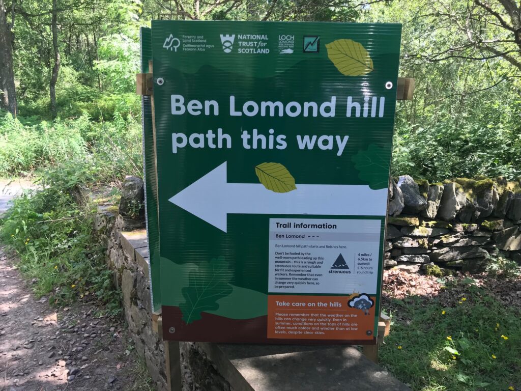
Ben Lomond
Rowardennan is the access point for walkers to climb up the path to Ben Lomond. Ben Lomond is one of Scotland’s hills called “Munros”. These are hills over three thousand feet. They are called after Sir Hugh T. Munro who first listed all such hills in Scotland.
There is a well constructed path all the way to the top of Ben Lomond. However, it is a long and strenuous climb to get to the top. It therefore should only be attempted by those who are reasonably fit and have the proper footwear and clothing.
Rowardennan - Milarrochay Bay
After this welcome rest I left Rowardennan and started cycling back the way I had come. Obviously I found the cycling was just as difficult as the outward route, due to the undulations.
As planned I only cycled as far as Milarrochay Bay. Although I had only been cycling for 50 minutes, I stopped here as it is a very picturesque spot, even on a misty day like today. However, I only stopped for five minutes to save time.
Milarrochay Bay - Killearn
I then retraced my route all the way back to Killearn. I just cycled straight through Balmaha, Drymen and Gartness as I had stopped at these places on the way out.
On the return journey my knees and thighs were quite sore. I was glad, therefore, of the assistance provided by the electric motor. Thank goodness for my e-bike!
I then went to the old public toilets at the back of the car park on Main Street before driving home.
Cycling Loch Lomond East Side on 2 Dec 22
- Levels of Assistance Used
The first time I used the electric motor for assistance was when cycling out of the hamlet of Gartness. There is a really steep hill here. I managed the first section unassisted then I got up out of the saddle and managed another section unassisted. I then had to use the first level of assistance, the ECO mode, to get me up the final section and over the top of the hill.
The next time I used it was on the long, steep hill after the descent where the NCN 7 cycle path signs started. Here I used the first level of assistance, the ECO mode. With this level of assistance I struggled, but I just persevered as I wanted to get some exercise. Eventually I got to the top.
I needed assistance again from the electric motor on the steep 15% hill out of Balmaha. I started off with the first level of assistance, the ECO mode. Soon, though, I had to move up to the second level of assistance, the TOUR mode. Even with that level of assistance I still struggled a bit but I managed to get up and over the top.
On the final stretch of the outward route leading into Rowardennan I found it very difficult. I therefore had to use the ECO mode a lot and the TOUR mode at times.
The same was true for the return journey from Rowardennan to Milarrochay Bay. On this stretch I mostly used ECO mode and I had to use TOUR mode twice.
For the rest of the return journey I used mostly ECO mode and TOUR mode a couple of times.
Battery Charging
At the end of the day there were still five bars showing on the battery charge level indicator.
However, when I put the battery on charge when I got home the fifth bar was charging up. It took about an hour to fully recharge. This has been the normal pattern for me recently.
I was quite pleased about this as this was a very hilly route.
Cycling Loch Lomond East Side on 2 Dec 22
- Summary
Despite the weather being dull & overcast I really enjoyed the day’s cycling.
At least I got out into the wonderful Loch Lomond National Park, although of course the views were limited due to the hill fog. Nevertheless I got some quite strenuous exercise and the low level views I did get were fine.
Also, as well as the nice village of Killearn where I started I passed through some lovely picturesque villages such as Gartness, Drymen and Balmaha.
This more than offset the seemingly never ending series of hill climbs and descents, not only when going cross country from Killearn to Drymen, but also especially alongside Loch Lomond.