Cycling Perth – Glen Almond on 27 Mar 23 was a fine route with great views of the River Tay, the River Almond and Glen Almond.
This is one of many great routes I have cycled in Scotland. Other great routes I have cycled are listed on the page Cycle Routes in Scotland.
Choice of Route
I chose the route Cycling Perth – Glen Almond on 27 Mar 23 because I wanted to try a new route and I hadn’t cycled this route before. I also wanted to cycle in a different area so I chose to start in the fair city of Perth to cycle in the beautiful Perth countryside.
Route Map -
Cycling Perth - Glen Almond on 27 Mar 23
The map above is an interactive map. Press “Play” (click on the white triangle in the middle of the screen) to activate it. You can then zoom in or out by pressing the buttons that appear in the top left of the screen. The map can be moved by dragging it. Once you press Play the hills profile of the route will appear at the bottom of the map. Further comprehensive detailed analysis of the hill profile can be obtained by clicking on “More Detailed Profile” at the top left of the hills profile section. You can also select full screen mode by clicking on the icon in the top right corner of the map.
Timings and Distances -
Cycling Perth - Glen Almond on 27 Mar 23
Anytime I cycle on one of my cycle routes in Scotland I use this section to record trip details. I record the times I took for the various parts of the day and the distances cycled. This includes when I started cycling and how long I cycled for between various points in the route. I also record the distances (in miles) between various points in the route and how long I rested for, etc.
I included this section so that I can look back at the timings and distances to help me plan my day if I decide to do this trip again. This section could also assist others with planning their day if they decide to do this route. Each person, of course, will have to adjust the timings to suit their own circumstances, e.g. cycling speed, rest times, etc.
(Note: The figures in brackets are the cumulative distances in miles from the start of the route.)
Left Glasgow 9.35 / Arrived at South Inch car park, Perth 10.55 / Started cycling 11.45 / Pitcairngreen 1.00 (7.24) / Lunch to 1.35 / Buchanty 3.25 – 3.45 (18.62) / Pitcairngreen 4.55 (28.40) / Back at car 6.05 (34.97) / Left 6.30 / Home 7.50.
Computer Readings -
Cycling Perth - Glen Almond on 27 Mar. 23
At the end of each trip there are a variety of readings on the bike’s computer. Some of them I record for future comparison purposes.
For the route Cycling Perth – Glen Almond on 27 Mar 23 the readings are as follows :
The drive up to Perth was fine. The traffic moved slowly but steadily over the Kingston Bridge in Glasgow and then moved freely all the way to the outskirts of Perth. There was no tail-back at the Broxden roundabout at Perth as there can be at peak times. As to be expected, once into the centre of Perth the traffic was heavy and progress was slow, although steady, to get to the start point of the route at South Inch car park.
The weather was as forecast, with clear blue skies, wispy clouds and brilliant sunshine, although it was quite cold.
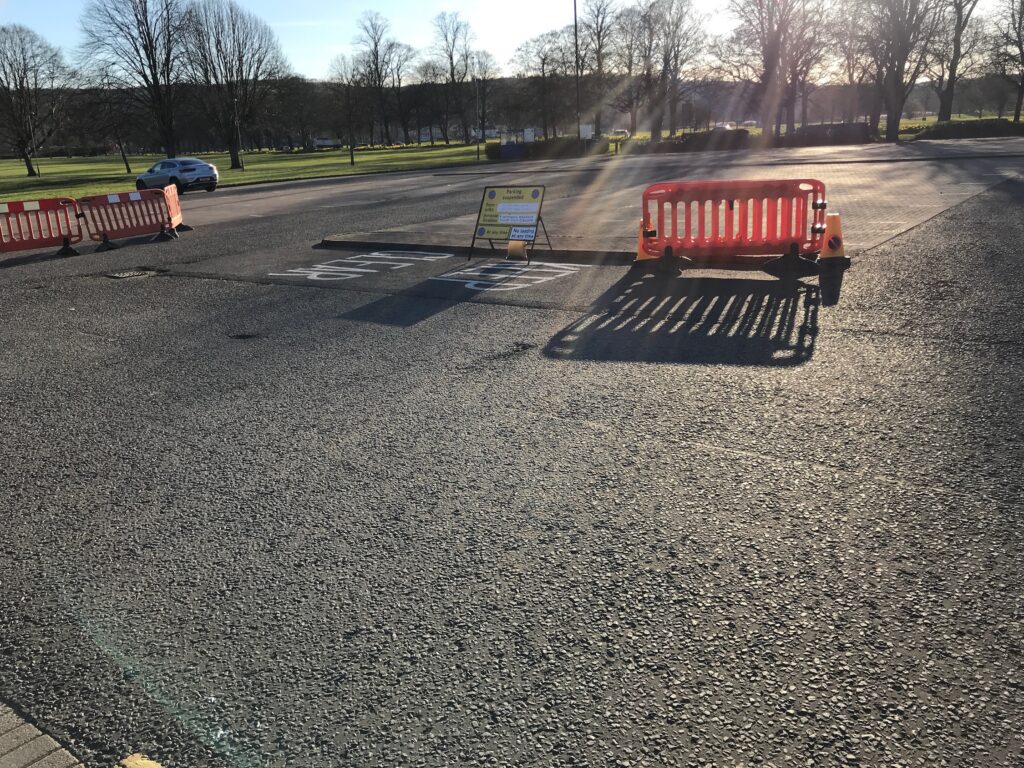
The South Inch car park is a large outdoor car park with over 400 spaces. It is situated alongside South Inch Park and is only a short distance from High Street. When I arrived the right hand side of the car park was quite busy but the left hand side was empty, as can be seen from the photo below.
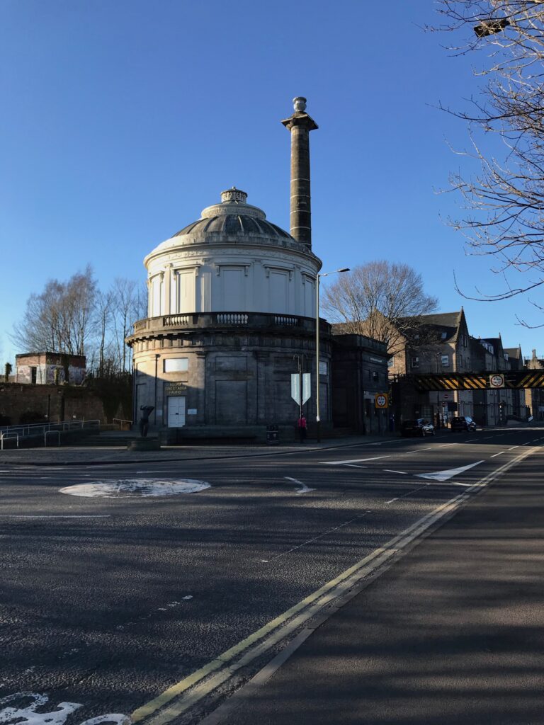
The car park is also situated across the road from the Ferguson Gallery that is housed in one of Perth’s iconic buildings.
I paid £5.30 to allow me to park there all day.
There are public toilets at the car park but they were closed from Oct. – Mar. I therefore cycled along to High Street and went to the toilet in Marks & Spencer.
Perth - Pitcairngreen
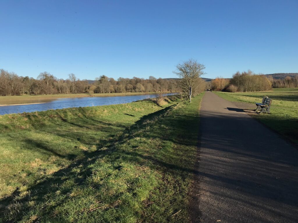
From the Main Street I cycled along the cycle path that runs alongside the River Tay.
This cycle path then becomes part of the National Cycle Network cycle route no 77. NCN 77 forms the first part of this route and it is well signposted throughout.
I continued cycling on the path alongside the River Tay which was flat and very pleasant in the continuing sunshine.
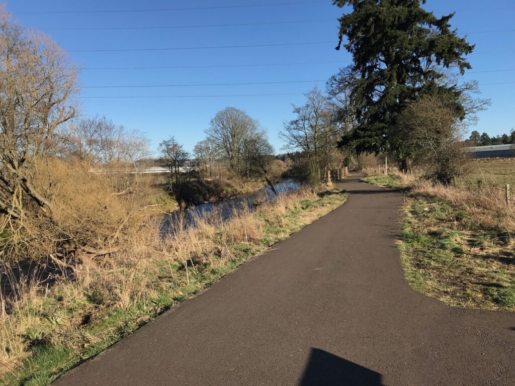
I continued cycling alongside the River Tay until it reached the confluence with the River Almond. Here I followed the path round to the banks of the River Almond. The River Almond is not as wide as the River Tay but the path was still flat and it was still very enjoyable cycling.
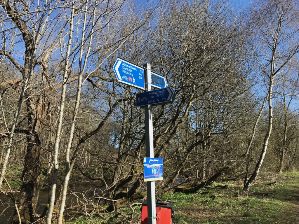
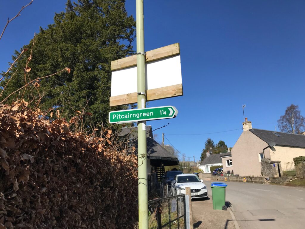
I continued cycling along the NCN 77 cycle path until I reached a pedestrian bridge over the river. The route here was signposted by a green sign similar to the one shown below.
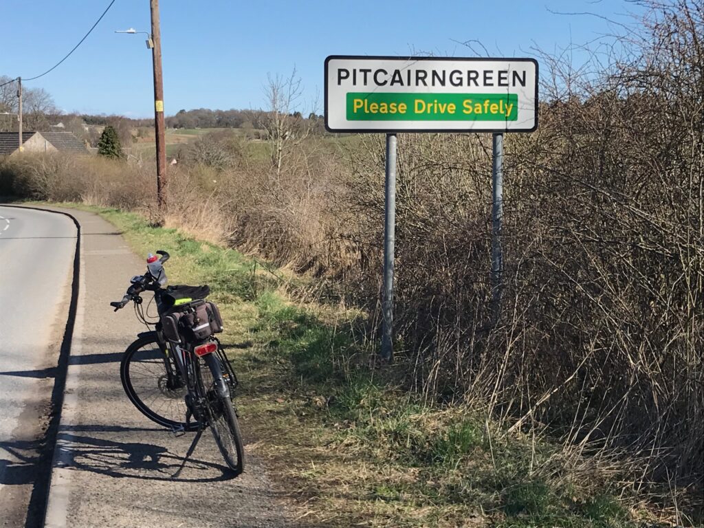
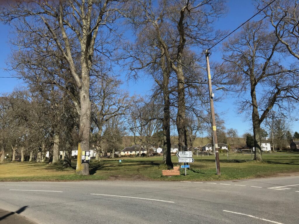
Pitcairngreen
I cycled over the pedestrian bridge and turned left into College Mill Road. After a few yards I saw the above sign and followed it. This was a big mistake as it led uphill to a very narrow, muddy path that was strewn with large boulders. At least it was only a short distance on this path. Nevertheless I used the second level of assistance from the electric motor to get me up it.
Then, when I got down to the road on the other side there was another green sign for Pitcairngreen pointing back the way I had just cycled up! Obviously the sign had been turned, so I decided to turn right. I cycled along several roads through a built-up area and eventually I saw another green sign that led down to a main road. I turned right here and this road led to Pitcairngreen.
When I got into the main road I realised that I should have ignored the second green sign that I came across. I should just have continued cycling along College Mill Road and this would have led me to the main road into Pitcairngreen.
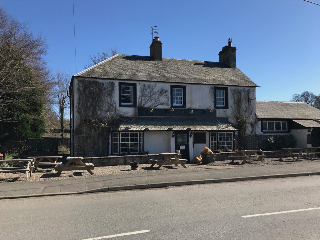
When I arrived at Pitcairngreen I sat at a bench overlooking the village green and ate my sandwiches and drank my juice, whilst enjoying the bright sunshine.
It was just as well that I had brought sandwiches with me as the village inn was closed. The Pitcairngreen Inn had a notice up advising that it was closed on Mondays and Tuesdays.
Pitcairngreen - Buchanty
After lunch I cycled up the left hand side of the village green then turned left and then first right onto a country road. I cycled along this road all the way along to a crossroad with the B8063 road. Here I turned left and followed the B8063 into Glen Almond.
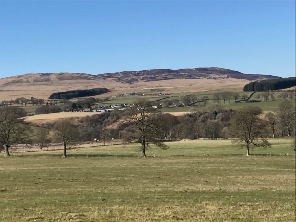
This road was a bit undulating and there was a bit of a strong breeze coming down the glen. However, it was still a wonderful day with clear blue skies and not a cloud to be seen.
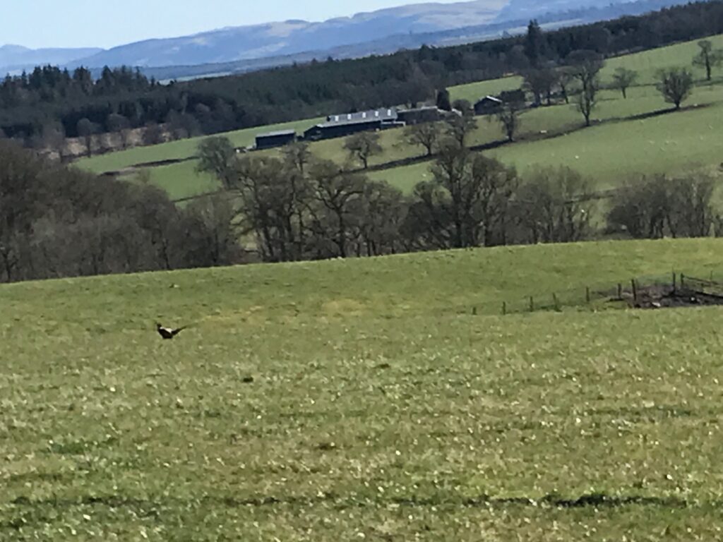
There were fine views across the glen from this road.
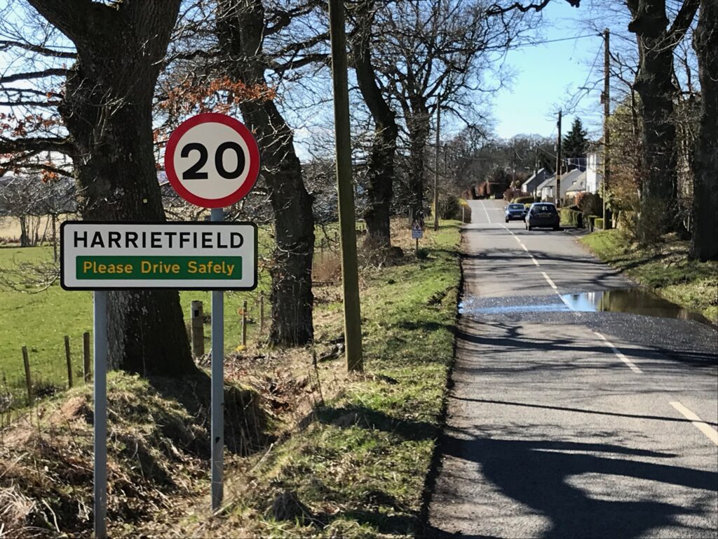
Part way along the B8063 road is the village of Harrietfield.
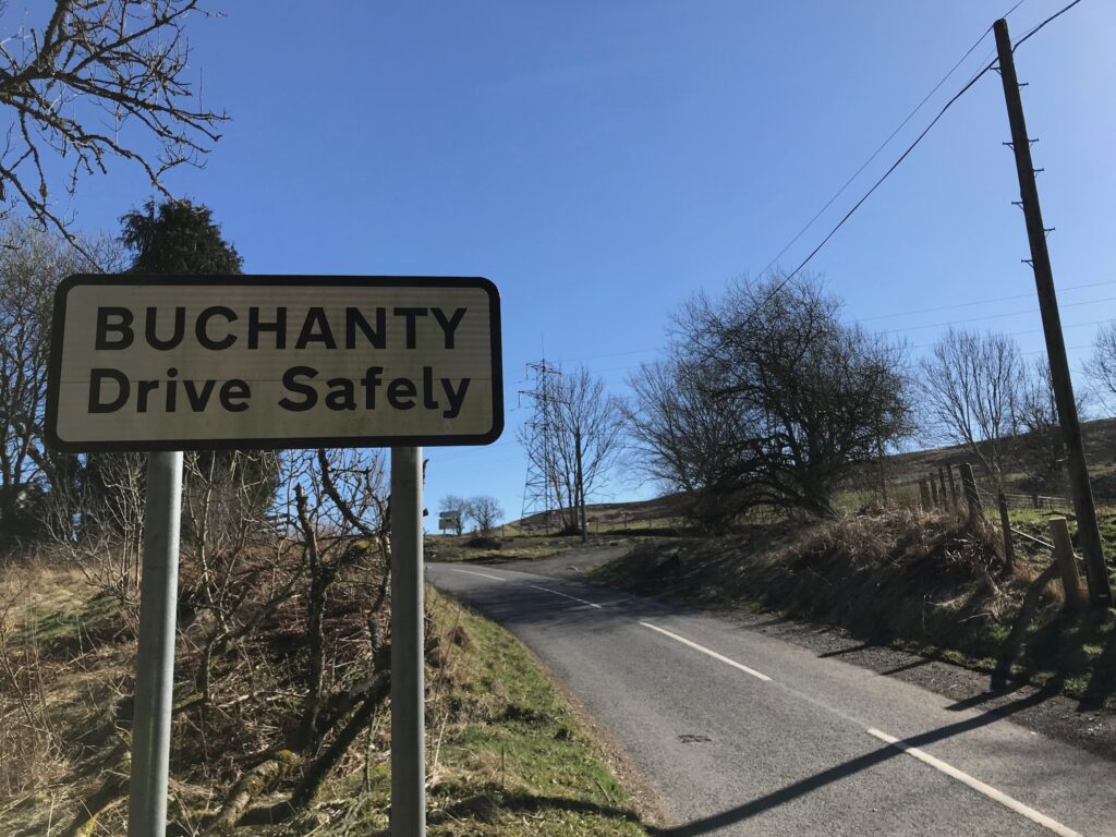
The road continued to meander along the length of the glen and eventually dropped down to cross back over the River Almond to the tiny hamlet of Buchanty.
In Buchanty there was only a cottage and an old schoolhouse that was empty and up for sale. This was disappointing as I had hoped that it was a large village with a tea shop where I could stop and have some tea and cake. Instead I rested for 20 minutes and ate a chocolate bar and drank the rest of my juice.
Buchanty - Perth
At the junction at Buchanty I took the left fork and cycled along this road. Here there were good views back across Glen Almond.
I cycled along to a T-junction at the end of this road, where I turned right. I continued along this country road to a crossroads with a road leading to the village of Methven on the right. Here I turned left and followed the road all the way back to Pitcairngreen.
From Pitcairngreen I followed the NCN 77 signs back to Perth.
Levels of Assistance Used -
Cycling Perth - Glen Almond on 27 Mar 23
When I was cycling from the pedestrian bridge through a built up area to get to Pitcairngreen I had to use the second level of assistance, the TOUR mode, on the short muddy and rocky path at the top of the road, but I only used it for less than ten yards.
Other than this, during the course of the day I only used the first level of assistance, the ECO mode, to get me up and over the top part of many hills.
Battery Charging -
Cycling Perth - Glen Almond on 27 Mar 23
When I got home I put the battery on charge and only the fifth bar was flashing. This meant that I had used less than 20% of the battery’s charge.
Consequently it took less than an hour to fully recharge the battery.
Summary -
Cycling Perth - Glen Almond on 27 Mar 23
This was a most enjoyable day’s cycling from the fair city of Perth into the beautiful Perthshire countryside on a nice, bright sunny day.
It was good to travel through to Perth and cycle on a route I hadn’t cycled on before.
The stretches along the Tay River and the River Almond were pleasant, easy cycling on flat cycle tracks. The cycle up to the top of Glen Almond was undulating but peaceful and quiet with very little traffic. There were also fine views across the glen on both the outward and the return journeys.
The only downside was that, surprisingly and disappointingly, on the return journey by the time I got back to the cycle paths alongside the rivers I was very tired and didn’t have much strength left in my legs. This was disappointing as there were no very high or very steep hills on this route.
Granted there was a long series of quite low undulations, particularly when cycling up to the top of Glen Almond, and this contributed to a total ascent for the whole route of 1,762 ft. Nevertheless I continued my practice of using the electric motor to get me up and over the tops of the steepest hills, so it was a surprise that I felt so tired.
I can only put this down to the effects of my advancing years. Perhaps the time has arrived for me to start using the electric motor more often, instead of using it for just over 10% of any route that I cycle at present.