The following is a brief summary of the key details for the Cycle Routes in Scotland : Loch Lomond East Side.
DISTANCE : 29 mls. linear
TERRAIN : Hilly
TOTAL ASCENT : 2,628 ft.
START & FINISH : Car park in the village of Drymen.
This route is one of the cycle routes in Scotland that I have cycled over the years. Some of the other routes I have cycled over the years are listed in the page “Cycle Routes in Scotland”. (Click here to go to this page.)
The map above is an interactive map so if you press “Play” (click on the white triangle in the middle of the screen) you can zoom in or out by pressing the buttons that appear in the top left of the screen, and you can move the map by dragging it. Once you press Play the hills profile of the route will appear at the bottom of the map. You can get further comprehensive detailed analysis of the hill profile by clicking on “More Detailed Profile” at the top left of the hills profile section. You can also select full screen mode by clicking on the icon in the top right corner of the map.
Route Details -
Cycle Routes in Scotland : Loch Lomond East Side
The route starts in the pretty village of Killearn in the Stirling Council area of Scotland.
There is a small car park in the village square in front of the health centre. This car park tends to be very busy with residents in mid-week. To avoid denying a resident a parking place, at these times I try to park in the adjoining street, Station Road, if there are any places.
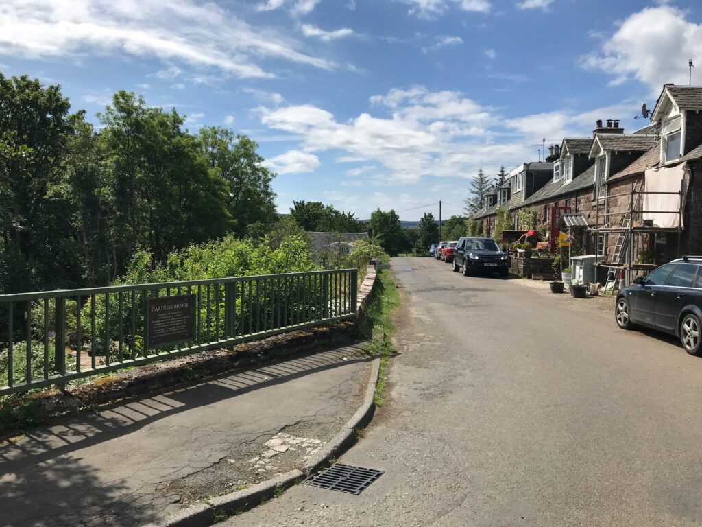
Killearn - Gartness
The route commences on Station Road.
Cycle down the hill on Station Road and turn right into Gartness Road. From here there is a long downhill stretch. Then there are a couple of small climbs before a final descent into the small hamlet of Gartness.
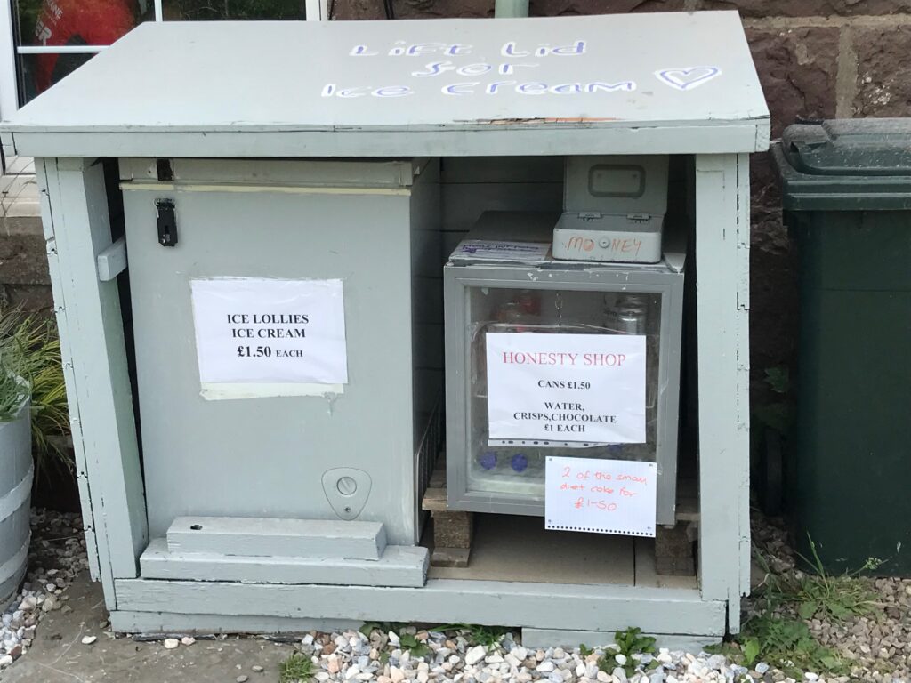
Gartness is one of those places where they have great faith in human nature. As result they have what is known as an “Honesty Box”. This is like a small unmanned shop where there are drinks, chocolate bars, ice cream, etc. You can help yourself to what you want. It is assumed that you will be honest and place the appropriate cash in the money box.
Gartness - Drymen
There is quite a short, sharp, climb coming out of Gartness that is quite steep. Fortunately this is followed by a steep descent.
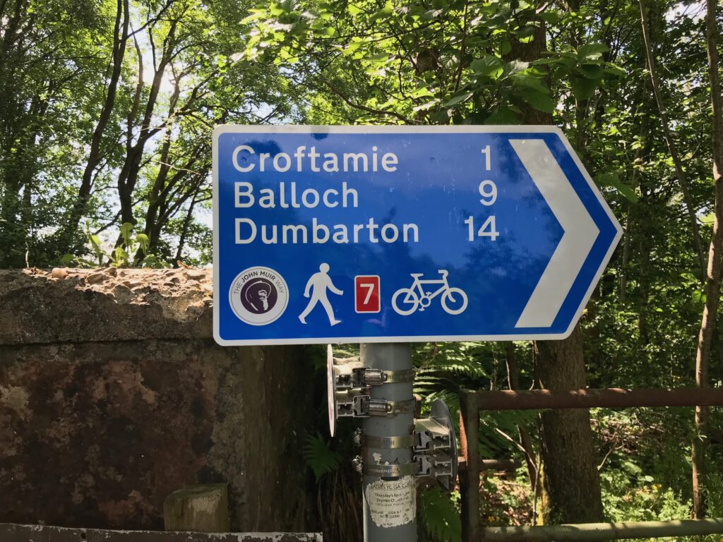
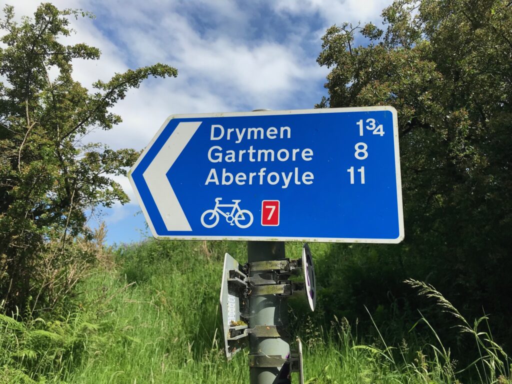
Part way down this descent on the left hand side of the road there is a cut off onto the NCN 7 cycle path in the other direction. This leads to Croftamie, Balloch and Dumbarton. Ignore this and continue straight ahead to Drymen.
Across the road there is another NCN 7 sign confirming that the route to Drymen is straight ahead.
After this descent there is a long, steep hill to climb. The road then gradually descends until it reaches the busy A811 road.
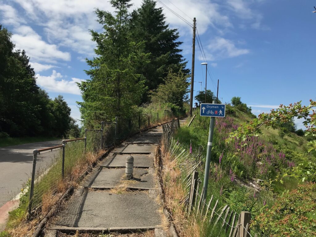
Here you need to carefully cross the road to get to a path on the other side that leads to Drymen
This path is formed by long wide steps so you have to walk your bike up it.
It is possible to stay on the bike and avoid this path. You can turn left onto the busy A811 and then turn right onto the B858 Main Street. This takes you into the centre of Drymen. You can also get to the centre of Drymen by turning right onto the busy A811. You then turn left onto the Old Military Road / Stirling Road to cycle into the centre of Drymen.
If you decide to follow the NCN 7 signs then you need to push your bike up the path to the road at the top. Then cycle down the road into the centre of Drymen.
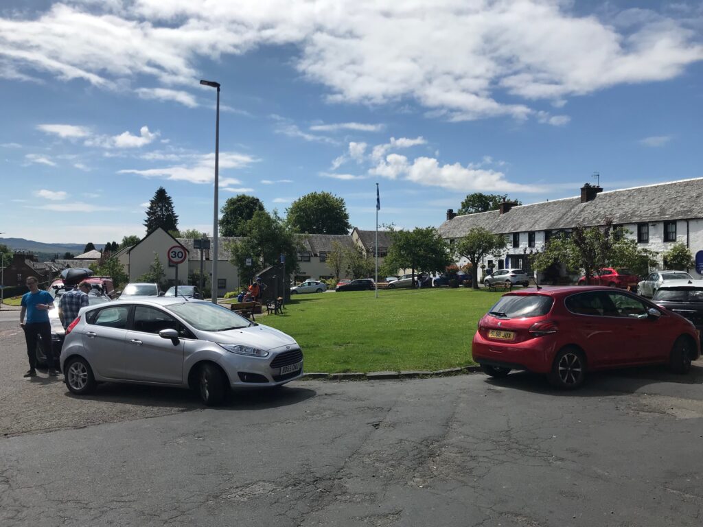
Drymen
In the centre of Drymen is the village green, with a hotel along one side. The toilets in the hotel are available for public use.
There is also a convenience store and there are several places that sell food and drink (see below).
There are benches on the village green that are pleasant places to stop for a rest.
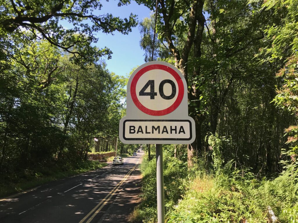
Drymen - Balmaha
On leaving Drymen cycle along the Main Street and turn right into Balmaha Road. This road is undulating, but the hills are not too steep at first.
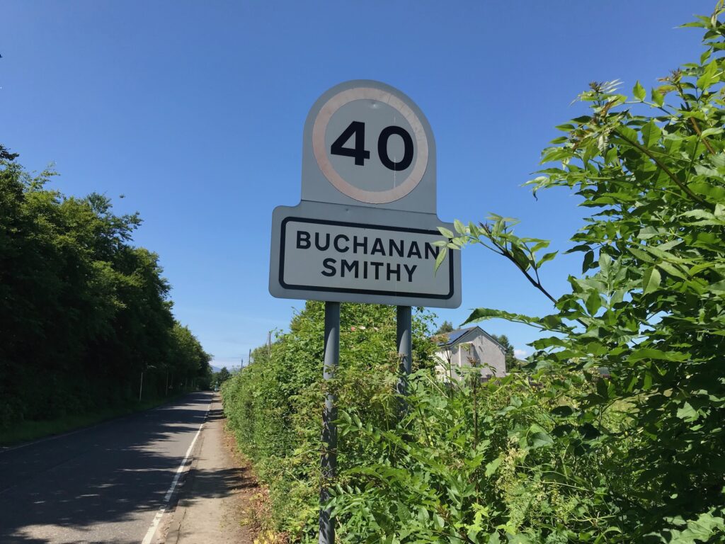
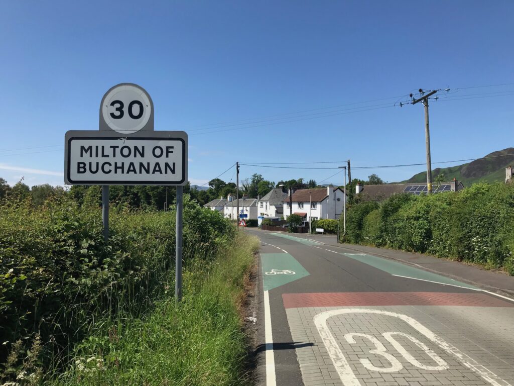
The road passes through two small villages – Buchanan Smithy and Milton of Buchanan.
The name of Buchanan also features in the Buchanan Arms Hotel in Drymen. Presumably the hotel and villages are named after George Buchanan, a 16th. century poet, historian and tutor to queens. He was born in Killearn. There is huge, very tall monument to him in Killearn.
Continue cycling until the popular tourist village of Balmaha is reached. This is a picturesque village that is situated on the shores of Loch Lomond.
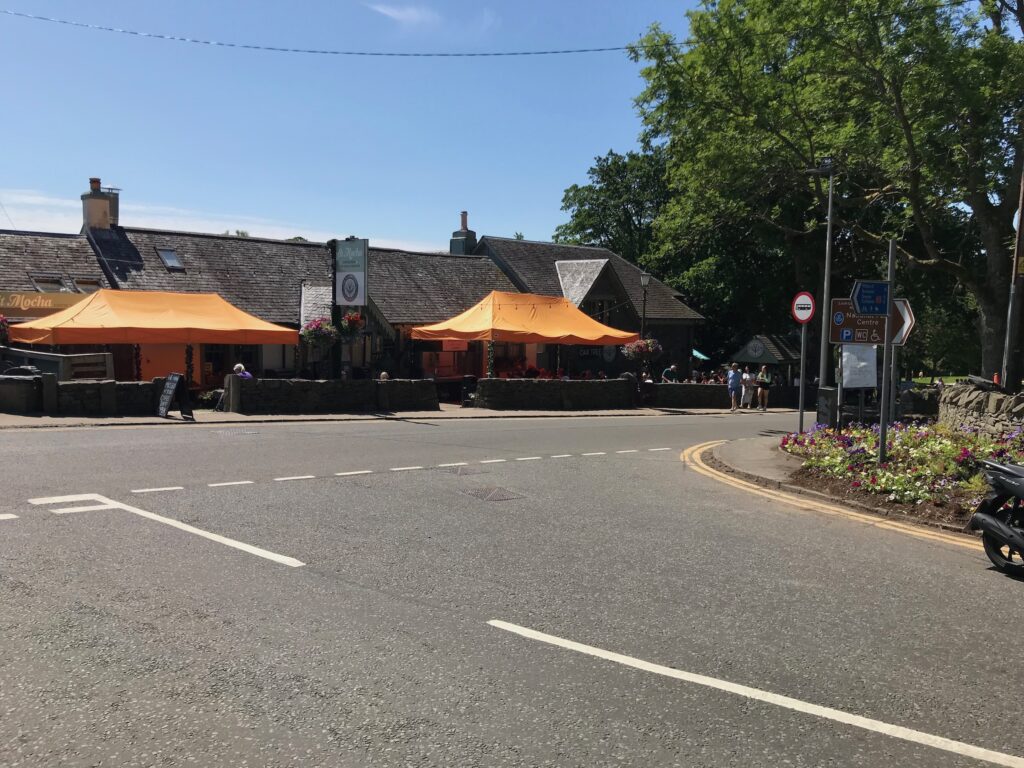
Balmaha is normally very busy with tourists, especially in the summer months.
There is a large car park there, with a visitors centre and public toilets. The cafes with outside seating on the Main Street are also normally very busy.
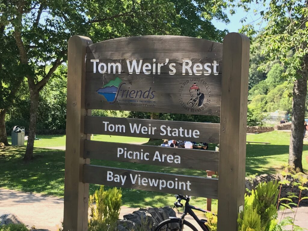
Further along on the Main Street there is a small park dedicated to Tom Weir. He was a well known mountaineer, climber and hill walker. He had his own television show called “Weirs Way” that was very popular.
In the small park there is a picnic area and a viewpoint over the bay. There is also a very lifelike bronze statue of Tom Weir.
Balmaha - Milarrochay Bay
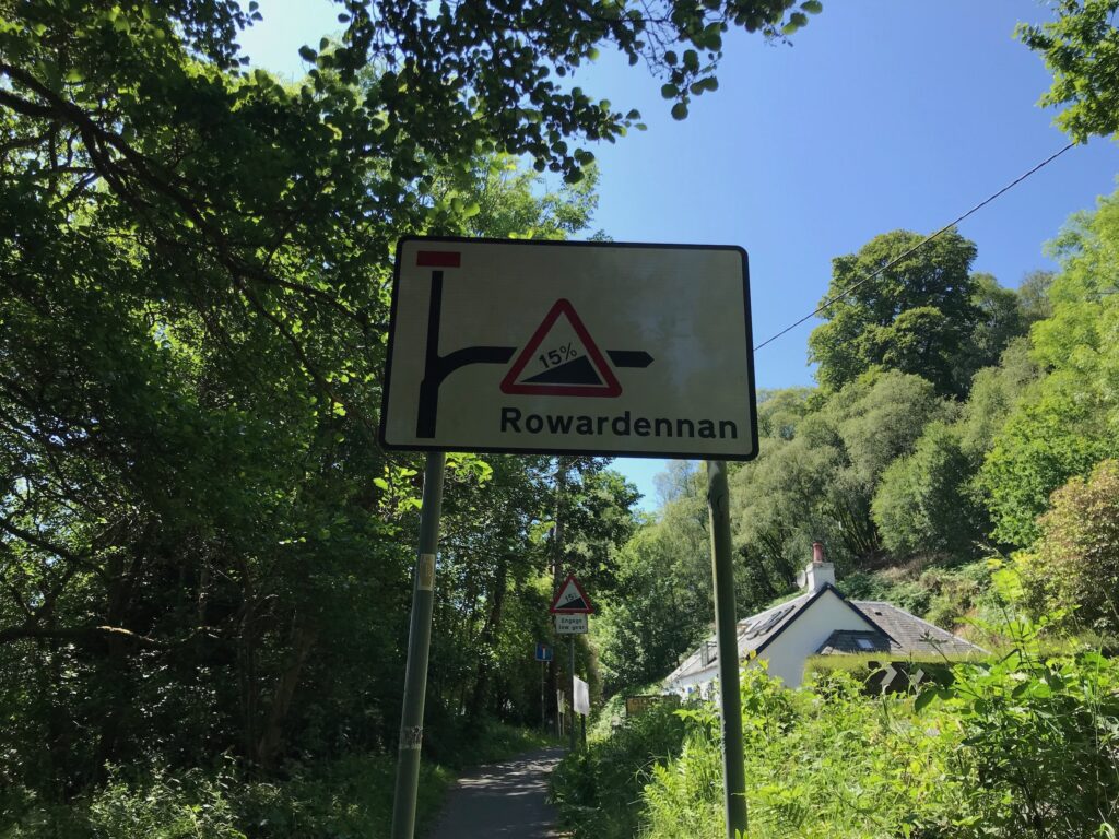
Leave Balmaha by cycling along to the end of the Main Street. The road then turns sharply right and up a short but very steep hill with a 15% incline.
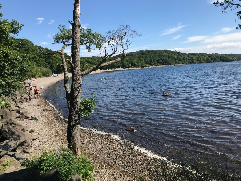
Ten minutes after leaving Balmaha you will reach Milarrochay Bay. This is a spot that is very popular with families. It has a stony beach and kids like to play in the water here.
Milarrochay Bay - Rowardennan
From Milarrochay Bay continue cycling along the undulating road alongside the loch.
The stretch of the route between Balmaha – Milarrochay Bay – Rowardennan is a long series of small hills. Although they are not very high some of them are very steep. So it is a succession of climbs and then descents, which can be very tiring.
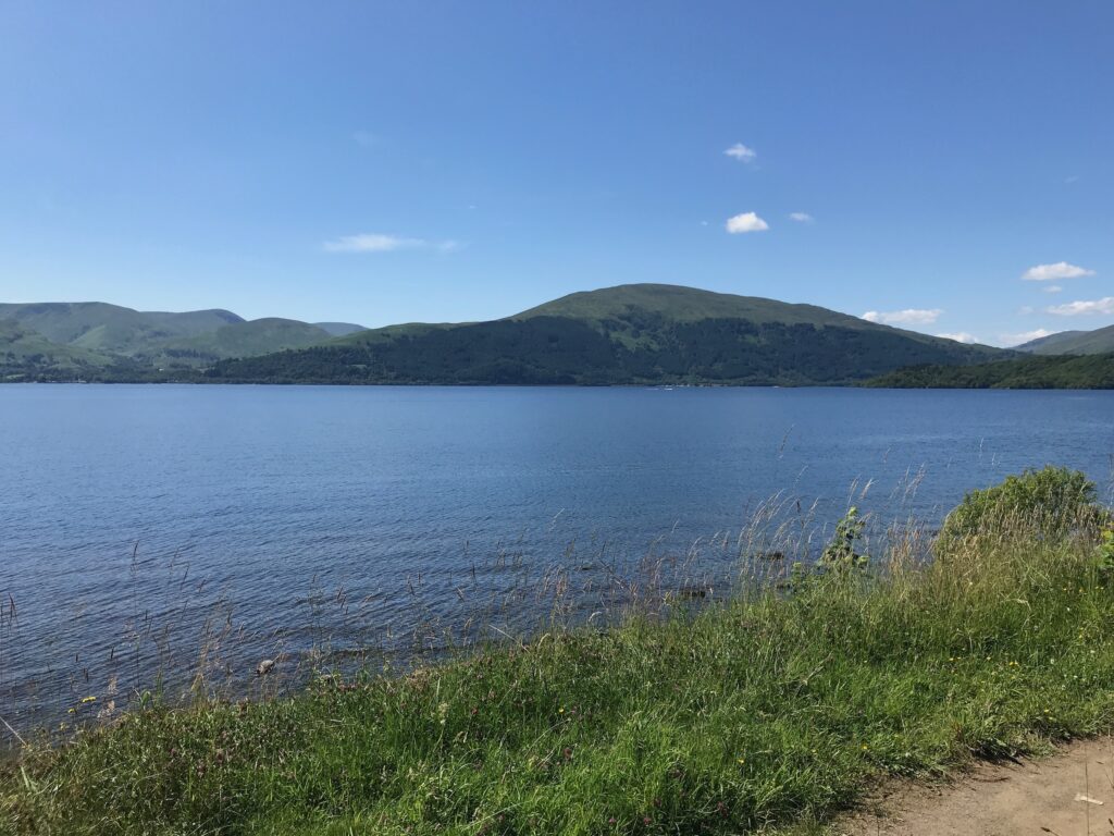
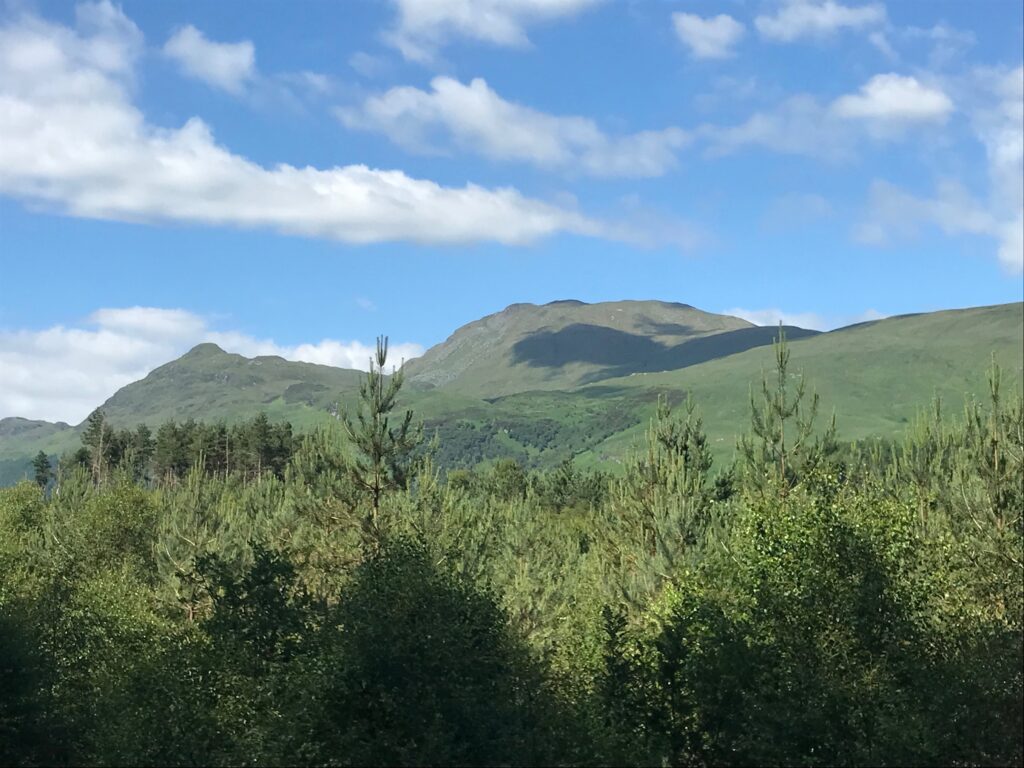
This is offset though by the wonderful views of Loch Lomond and the hills on it’s west side. These hills include Beinn Dubh which is one of the hills I climb each year. It is accessed from Luss on the west side of the loch.
Continue cycling up and down the hills alongside the loch. The last stretch to Rowardennan can be really difficult as it has some very steep hills.
The public road ends at Rowardennan.
Rowardennan
At Rowardennan there is the Rowardennan Hotel. It serves food in the bar and it has picnic tables outside. A water sports company operates next to the hotel.
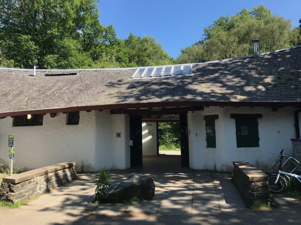
Past the hotel there is a very busy car park that is mainly used by walkers climbing Ben Lomond. At the car park there is a small visitors centre with public toilets.
There is a Youth Hostel further on from the car park.
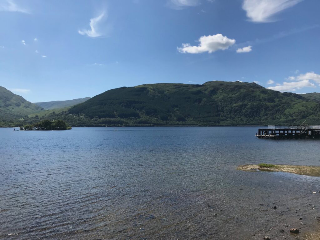
There is also a small bay and a jetty at Rowardennan.
From here there is a great view across the loch to another hill on the west side that I climb every year. It is called Beinn Bhreac and it is one of my favourite low level hill walks. I like it as it affords fantastic views up and down Loch Lomond and across to Ben Lomond. I cycle past the access point to this hill when I do one of my other cycle routes. It is the Loch Lomond West Glens route. (Click here to go to this route.)
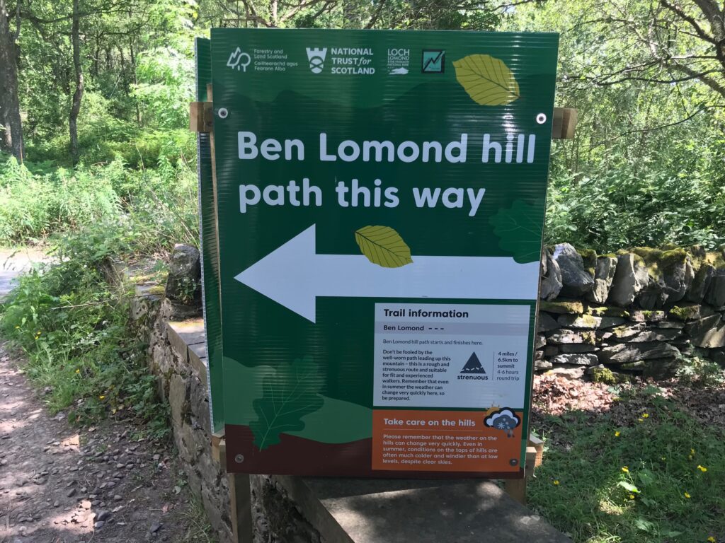
Ben Lomond
Rowardennan is the access point for walkers to climb up the path to Ben Lomond. Ben Lomond is one of Scotland’s hills called “Munros”. These are hills over three thousand feet. They are called after Sir Hugh T. Munro who first listed all such hills in Scotland.
There is a well constructed path all the way to the top of Ben Lomond. However, it is a long and strenuous climb to get to the top. It therefore should only be attempted by those who are reasonably fit and have the proper footwear and clothing.
Return Journey to Killearn
Retrace the outward route all the way back to Killearn on the undulating, hilly road alongside the loch.
Pass by Milarrochay Bay then through Balmaha and Drymen and back to Station Road in Killearn.
Route Alternatives -
Cycle Routes in Scotland : Loch Lomond East Side
This being a linear route there are few options for changing the route, other than by shortening it.
For example, the route could be started in Drymen rather than Killearn. There is a free car park in Drymen. Choosing this option would reduce the length of the route to a 21 miles round trip.
Or you could go for a short trip of about 13 miles by starting and finishing in Balmaha. There is a large car park at the visitors centre in Balmaha.
Cafe / Toilet Stops -
Cycle Routes in Scotland : Loch Lomond East Side
At the start point in the village of Killearn there is a coffee shop on the Main Street, a cafe/restaurant called the Kitchen Window in Killearn village hall and a bar/restaurant called the Old Mill Inn on the Main Street. In Killearn there are old public toilets at the back of the car park in Main Street.
For refreshments only there is the Honesty Box in the hamlet of Gartness. Here you can buy choc bars, drinks and ice cream
In Drymen eating places around the village green were the Drymen Inn, the Drymen bakery & deli, the Clachan bar (estd. 1734) and the Winnock Hotel which runs along the back of the village green.
Along the Main Street from the village green there is also the Skoosh coffee shop and the Buchanan Arms Hotel.
The toilets in the Winnock Hotel can be used by the public.
In Balmaha there is a coffee shop and a large bar / restaurant, both with outdoor seating. There are public toilets in the visitors centre in the large car park.
At Rowardennan there is the Rowardennan Hotel that serves food and drink all day in the bar and has picnic tables outside. There are public toilets at the visitors centre at the large car park further along the road.
Train Options -
Cycle Routes in Scotland : Loch Lomond East Side
The nearest train station to the start of the route in Killearn is at Milngavie, which is about 9 miles from Killearn. Cycling from Milngavie to Killearn would thus add 18 miles to the length of the route, resulting in a total distance of about 47 miles.
If you want to access the start of the route by train your options to do so will of course depend on where you live and what train lines are nearby and where they run to, which each person will need to investigate for themselves. For a website that can help with this click on the following website address : https://www.thetrainline.com. Some possible train options are outlined below.