
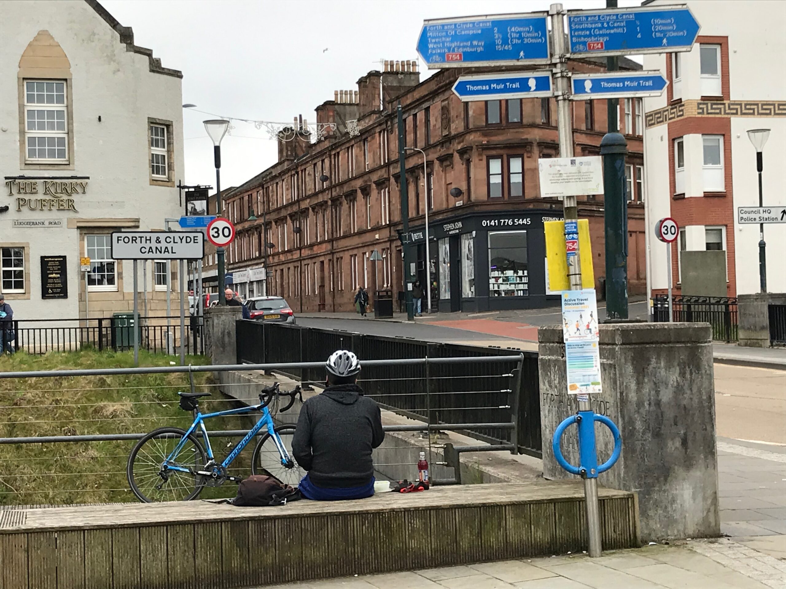
The route starts at the Barleybank car park. This is in the centre of Kirkintilloch, on the A806 New Lairdsland Road. (For satnav use the post code of this car park is G66 1JB). It is a Pay and Display car park. It costs £5.00 to park for over four hours (as at May 2021).
The car park is on the banks of the Forth and Clyde Canal. It is adjacent to a busy shopping street called Cowgate.
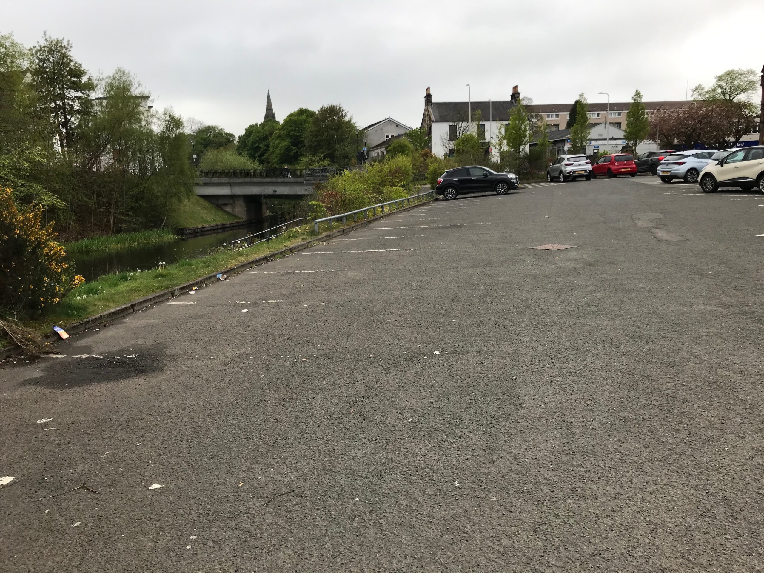
To start the route drop down to the towpath on the canal and turn left. The first six miles of the route is on the towpath, which is part of the cycle route NCN 754.
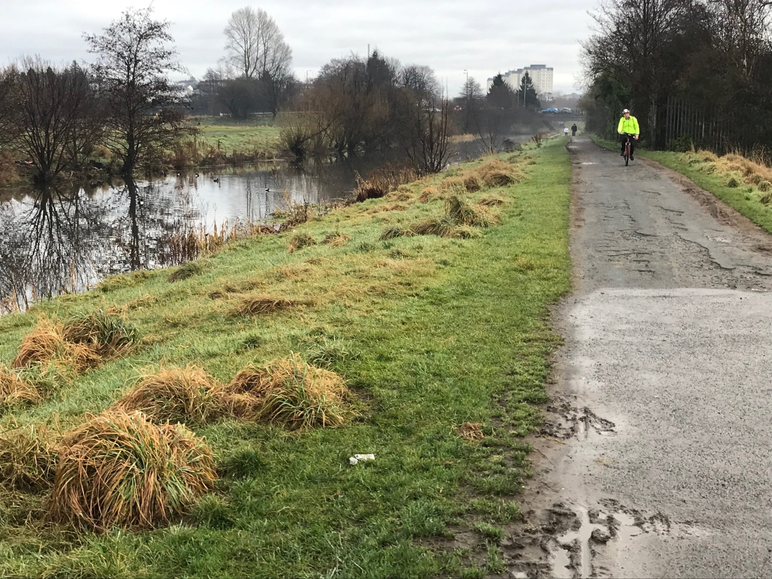
This is a nice level start to the route and gives you a chance to get warmed up.
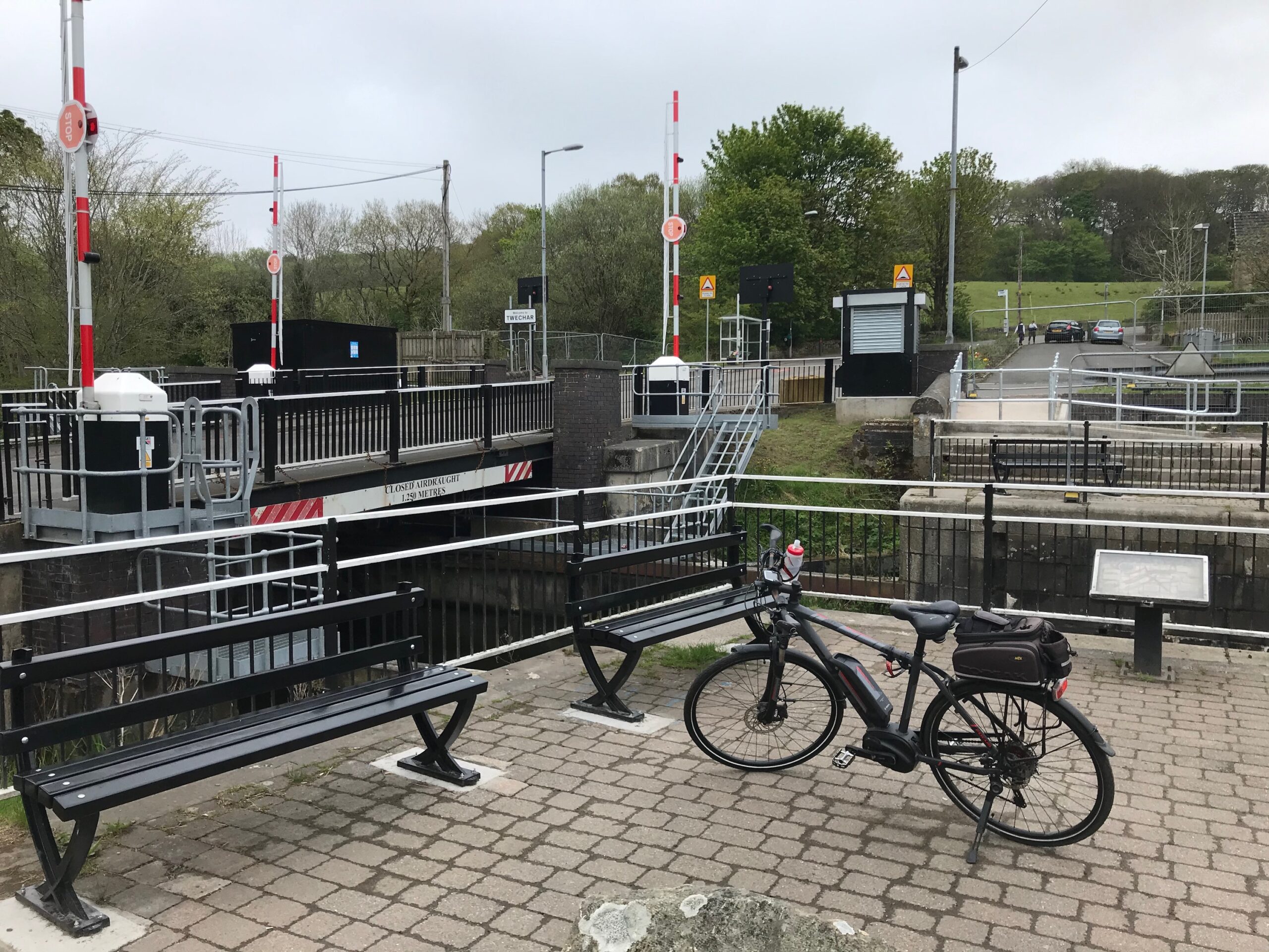
After some distance the canal passes by the village of Twechar.
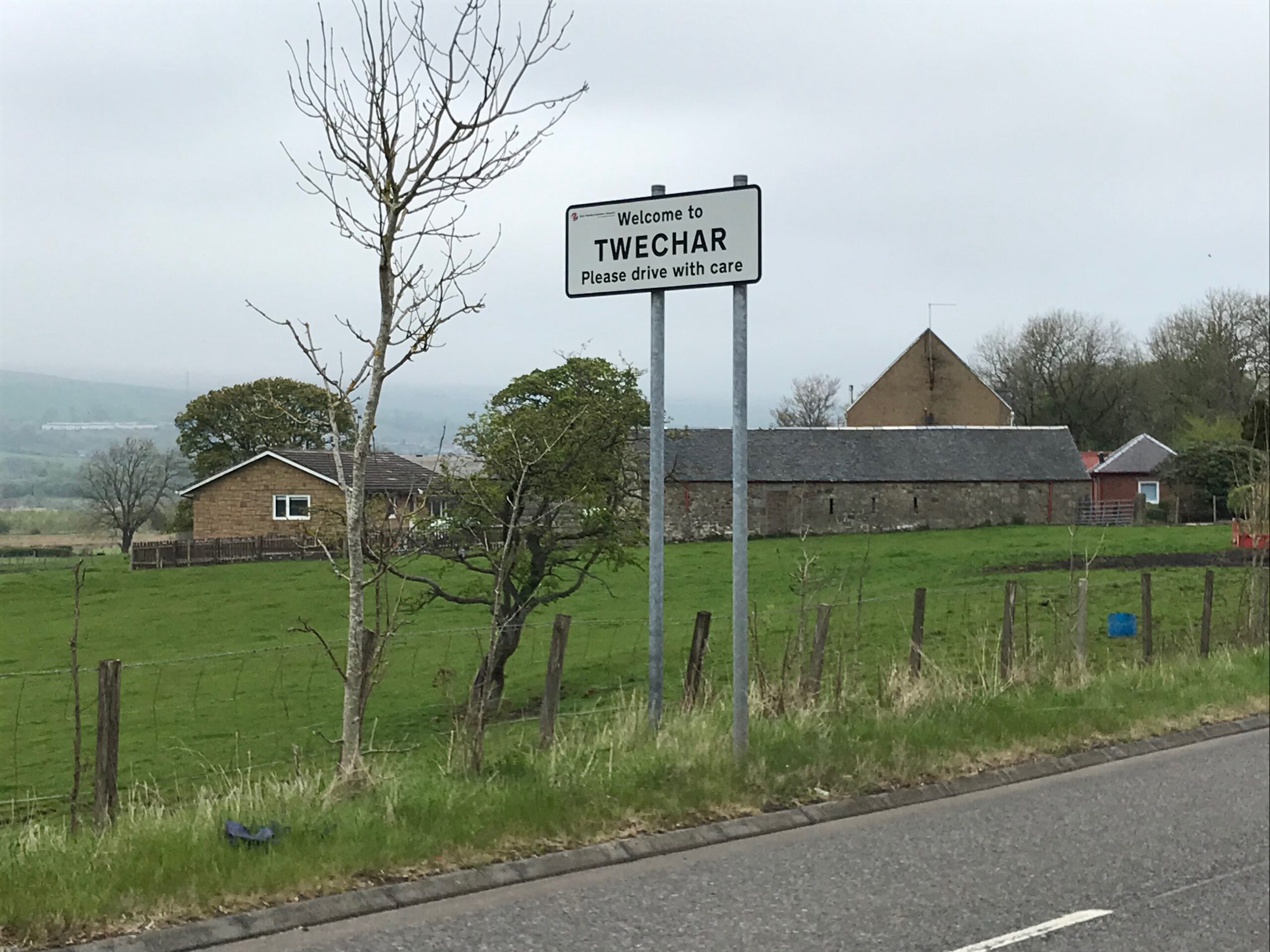
At Twechar there is a canal lock. Here the cycle path continues for a short distance on the pavement. It then returns to the tow path after passing the lock.
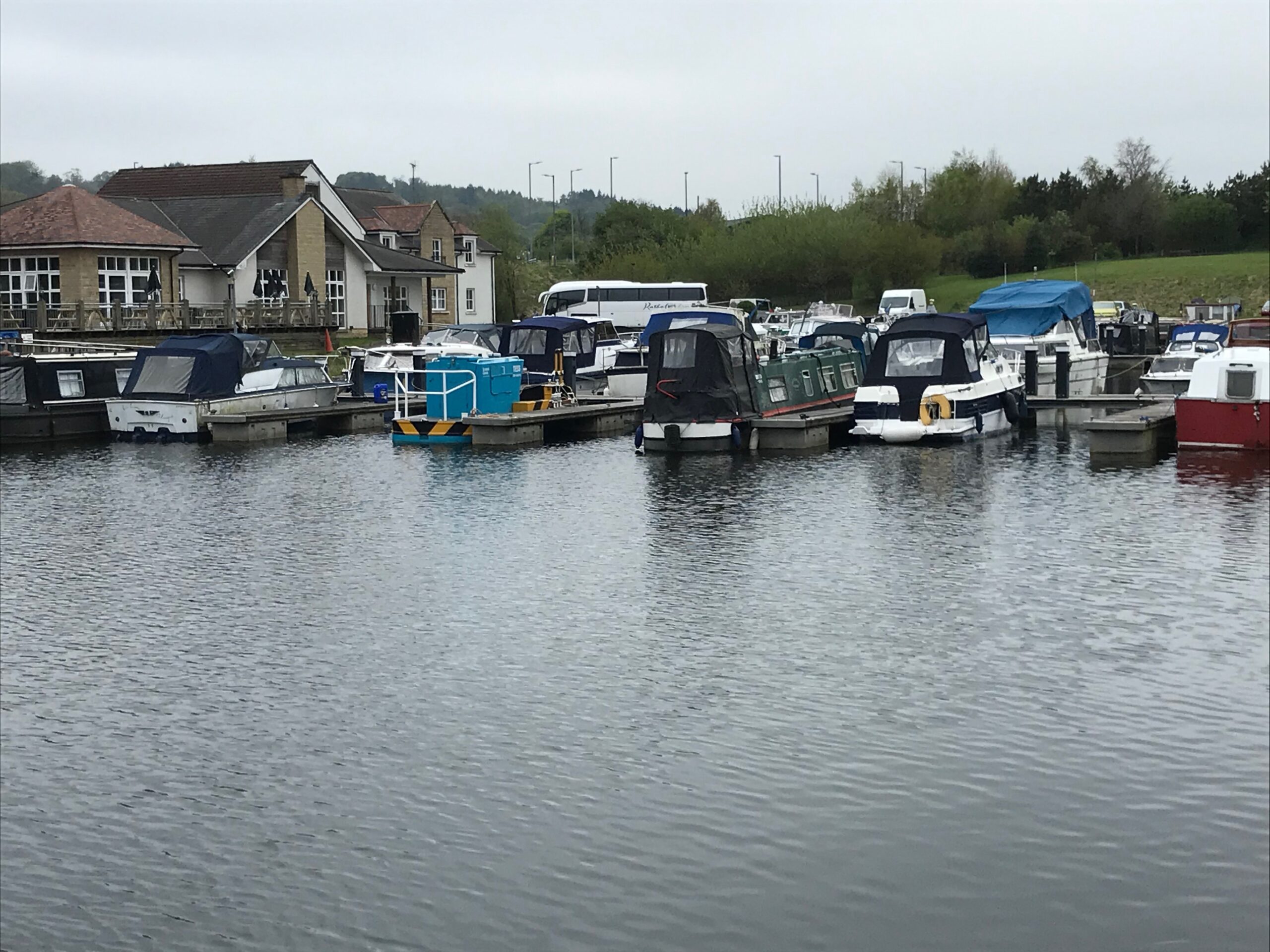
Further along you come to Auchinstarry Bridge where the canal passes under the B802 Kilsyth to Cumbernauld Road. Just past this bridge, on the right hand side, there is berthing for barges and yachts.
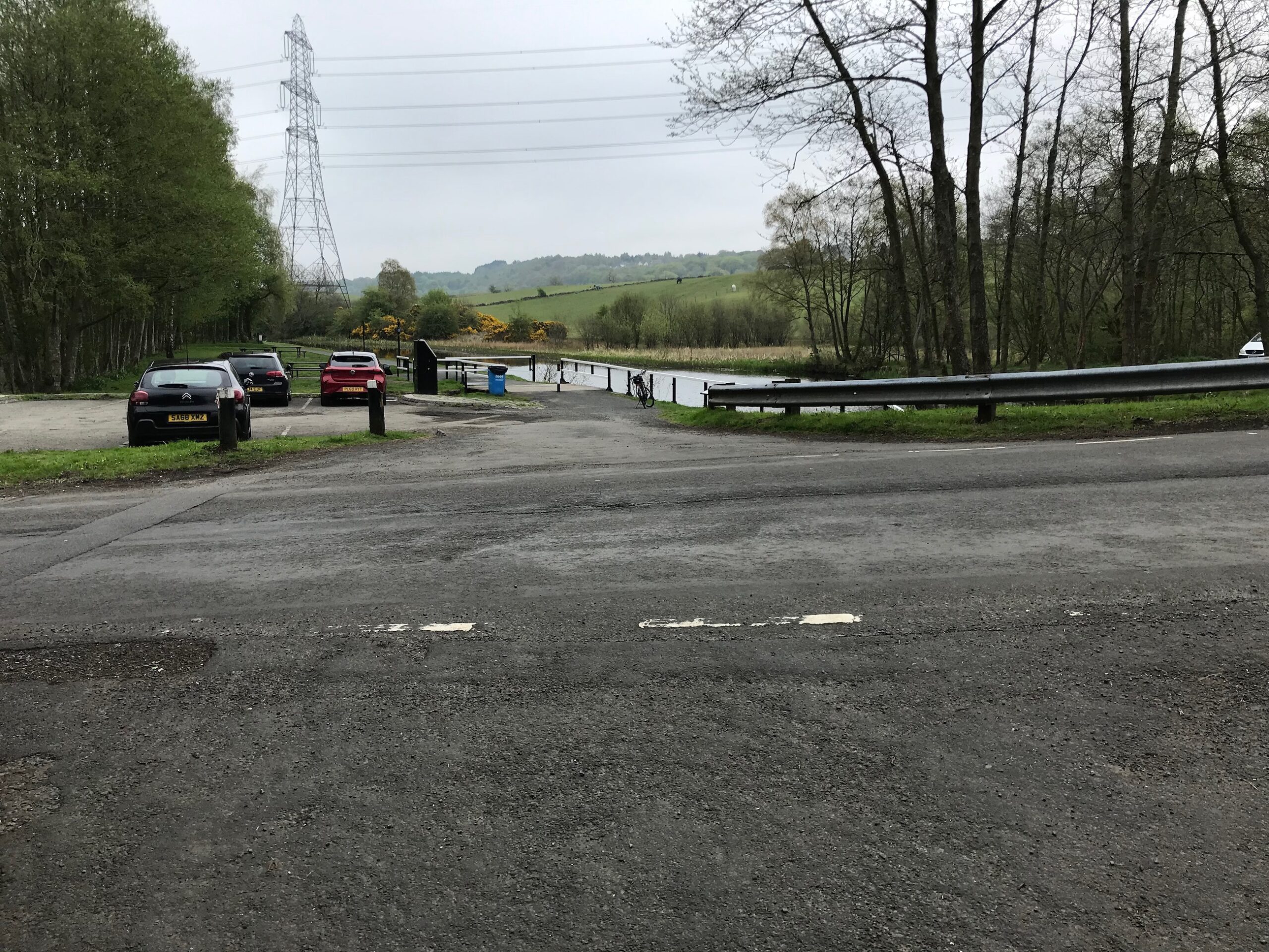
You cycle along to the next bridge, which is the Craigmarloch Bridge, and this is where you leave the towpath. Across the road there is a small car park with some picnic benches. Here you turn left onto the road.
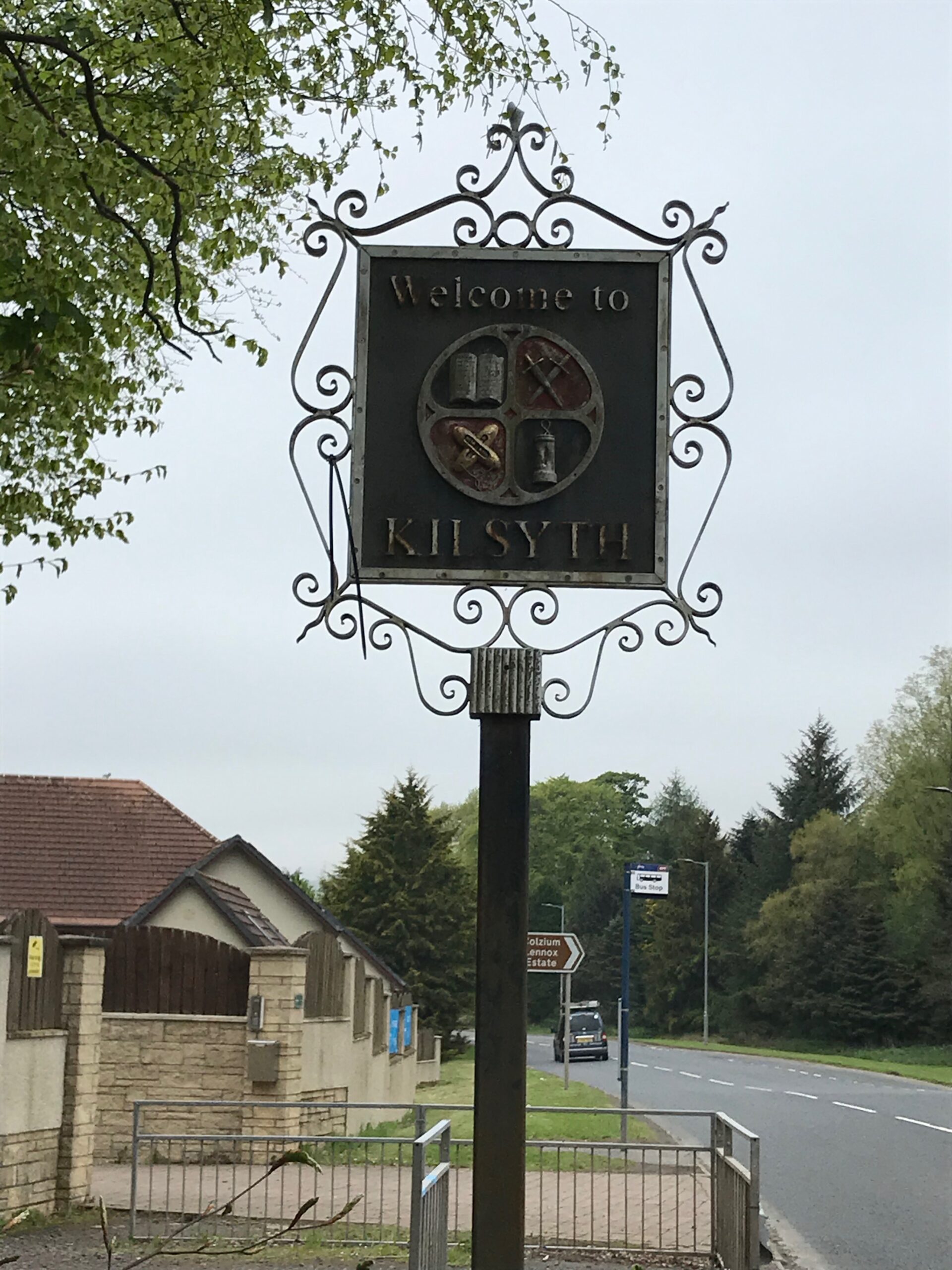
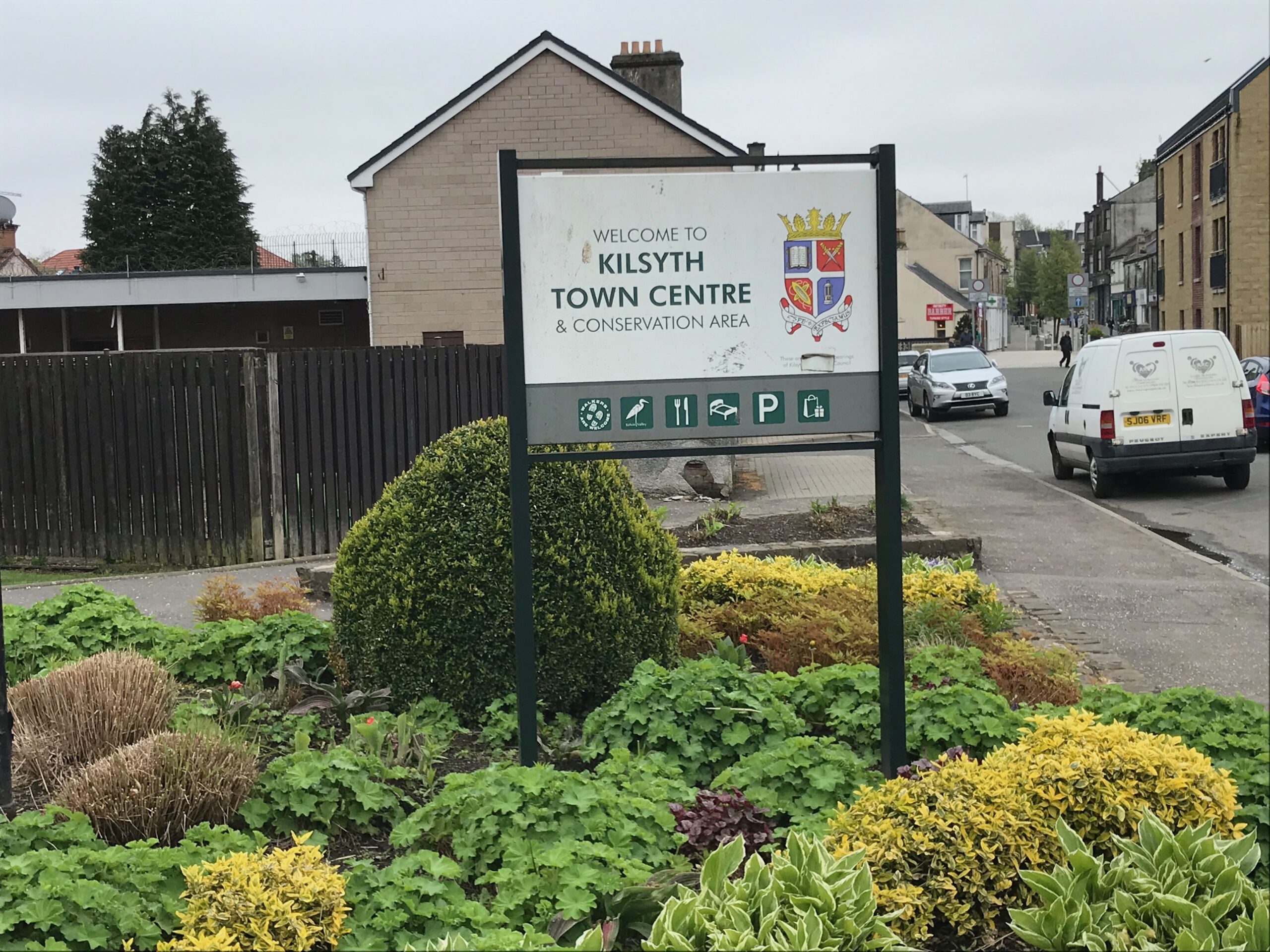
The road winds it’s way along until it reaches the A803 Stirling Road, where you turn left. Continue on this quite busy road until you reach the small town of Kilsyth.
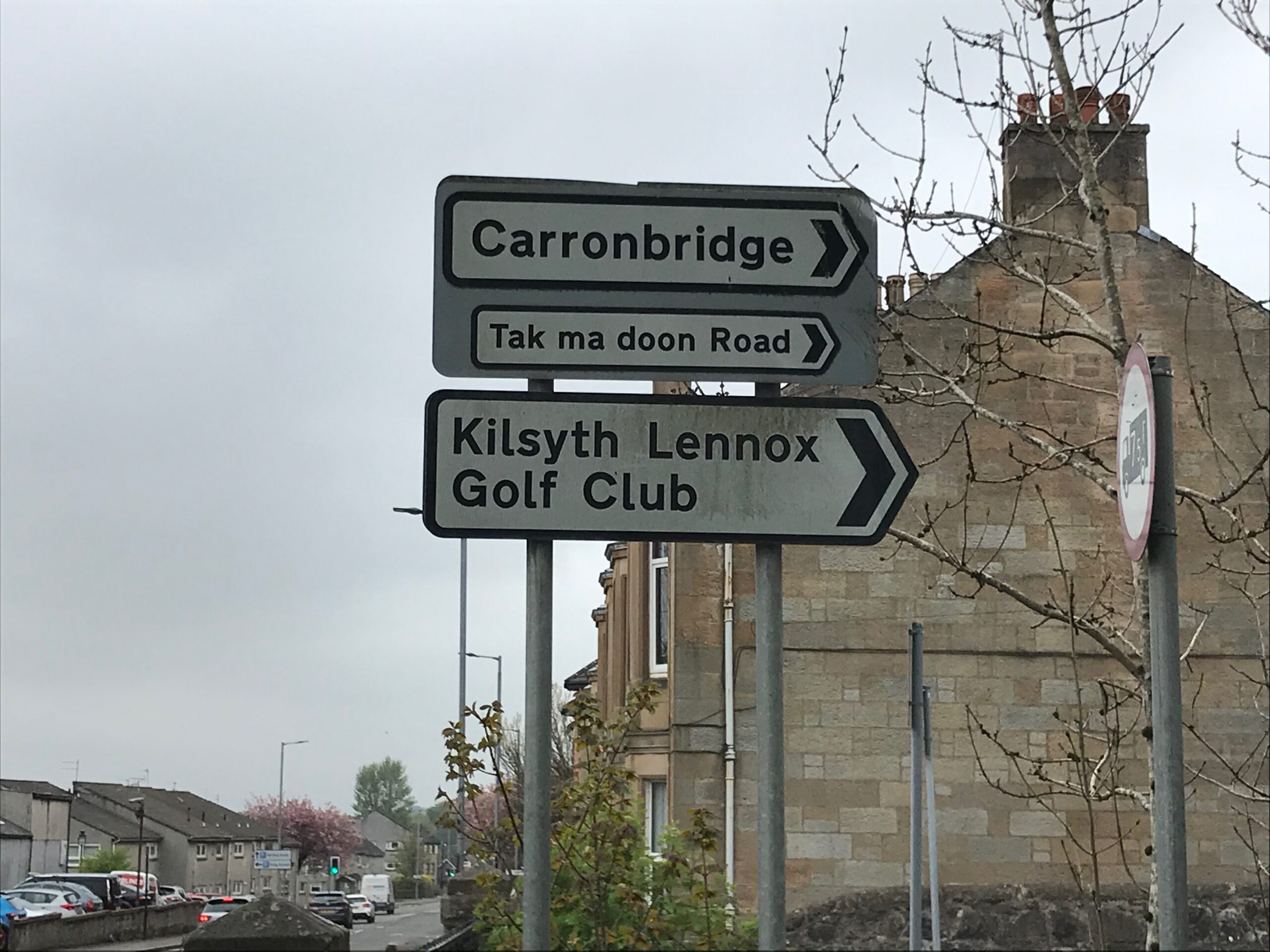
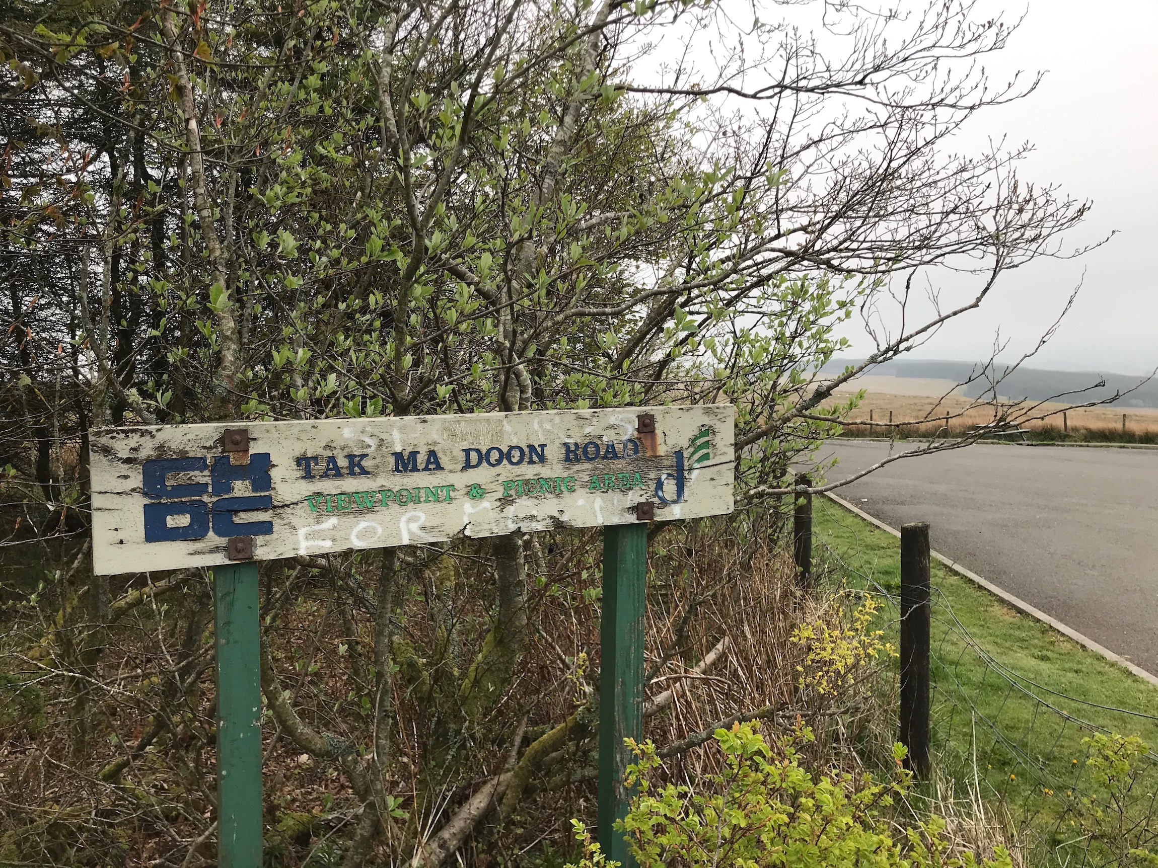
Cycle along this main road past Colzium Country Park. Further on look out for a road on the right called the Tak ma doon Road. The sign for this road is not too obvious when cycling into Kilsyth. It is only a small part of a larger sign that is slightly offset and angled.
Turn right into this road where the long, steep hill climb to the view point at the top commences. The road starts off steep right away and then there is an even steeper stretch after a short distance. It then continues to be steep and winding through open countryside all the way to the viewpoint at the top.
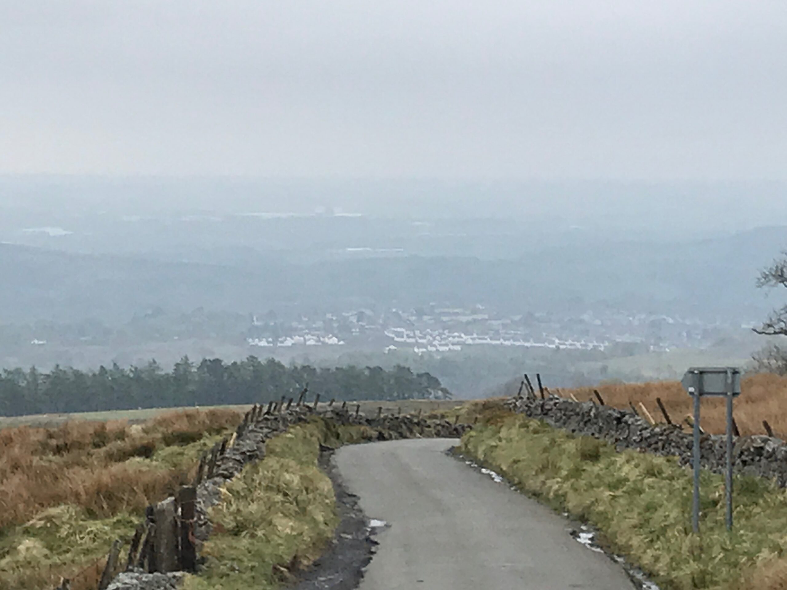
At the view point there is a car park and some picnic benches. On a clear day there are spectacular views over the Forth and Clyde valley.
Leave the view point and turn right back onto the Tak-ma-doon Road. Enjoy some free-wheeling down the hill for a while.
There is one point part way down the descent though where great care should be taken. Its at a point where the road goes down into a gully before a short ascent. Here a burn crosses over the road. Whilst the depth of the water is only a few inches the surface underneath consists of large cobble stones. So it is essential to slow right down here to avoid any accidents.
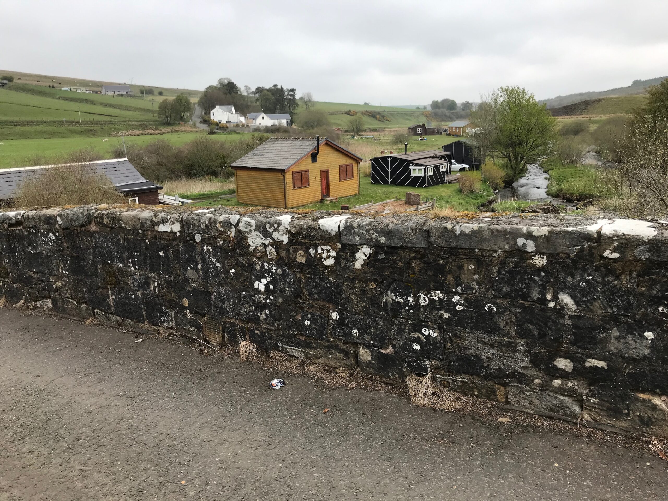
At the bottom of the descent is the Carron Bridge. Here there is a site for holiday huts along the side of the river.
The road eventually reaches the B818 road, where you turn left. Further along this road is the start of the Carron Valley Reservoir.
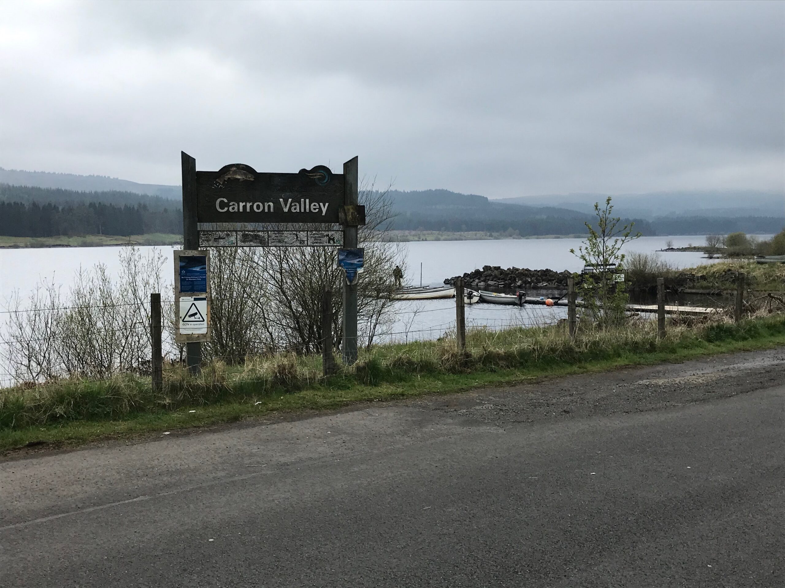
This next section of the route is extremely pleasant cycling. It is alongside the large loch with fine views across the loch. Whilst the road is undulating it isn’t too difficult a ride.
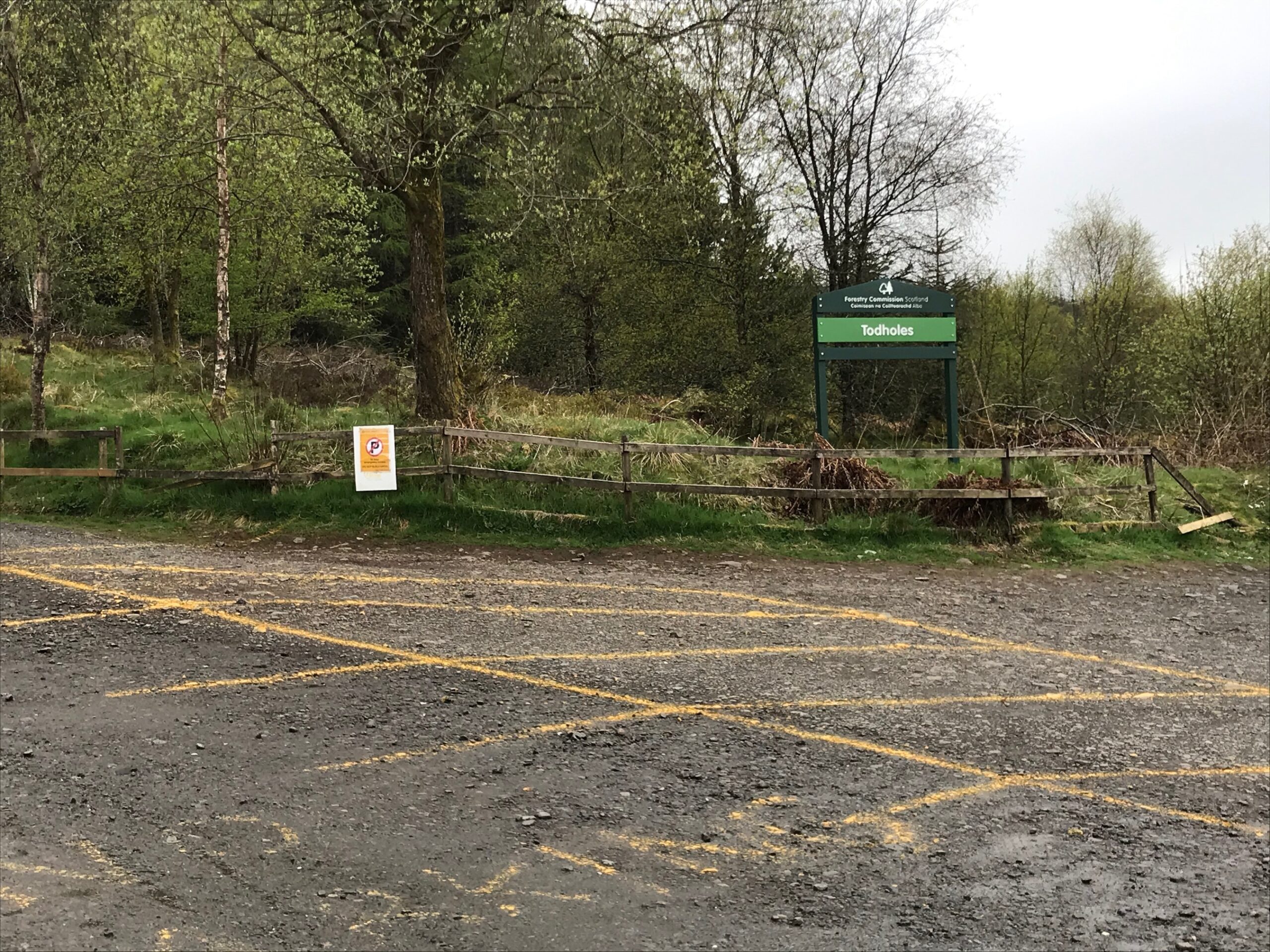
The road alongside the loch ends at a small car park called Todholes. Here walkers park to access some of the walks available from this spot.
From this point there is a steady descent all the way down to the junction with the B822 road. At this junction you can turn right if you want to cycle the one mile into Fintry. Here refreshments are available at the Fintry Inn. To continue the route turn left onto the B822.
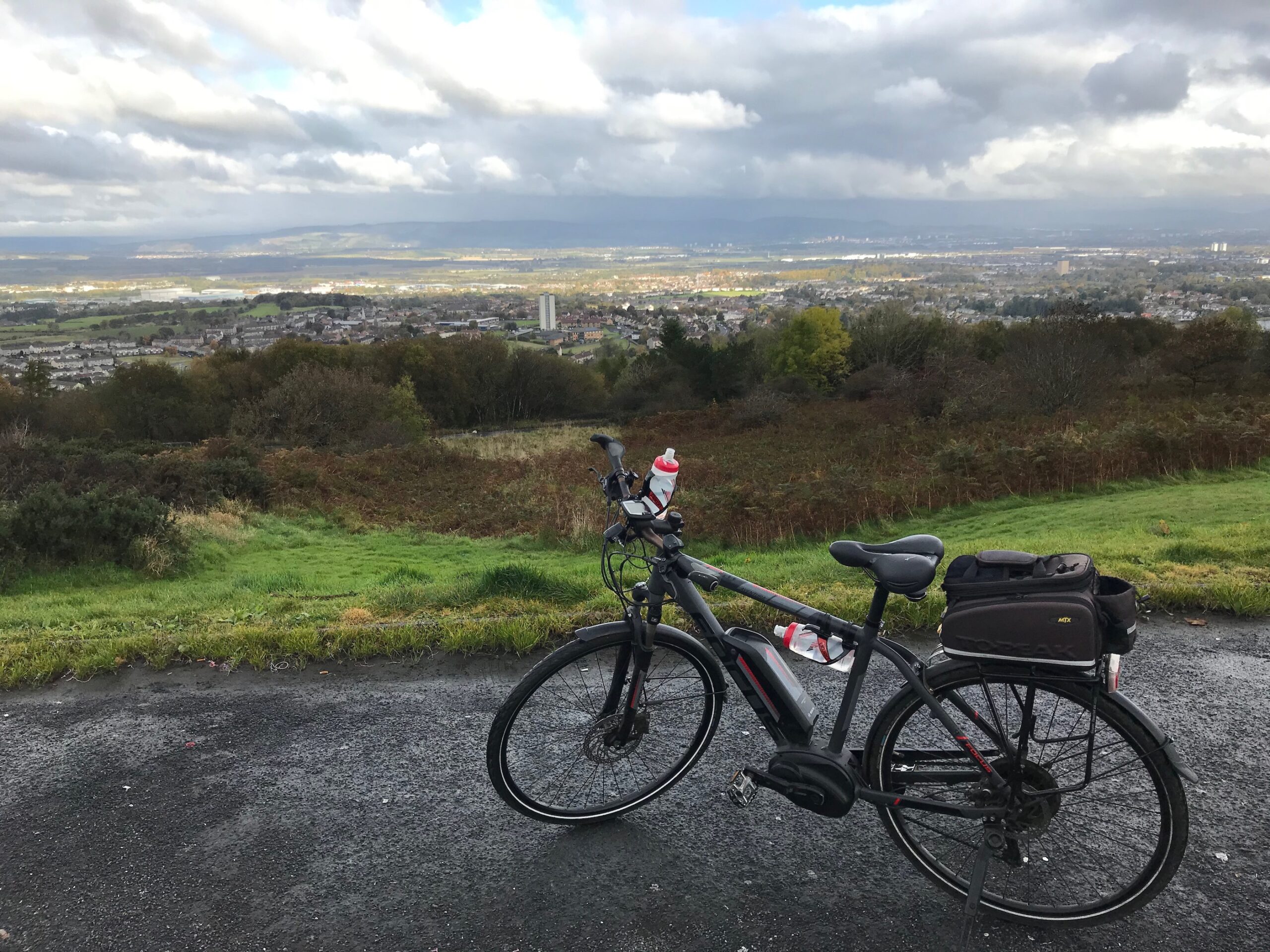
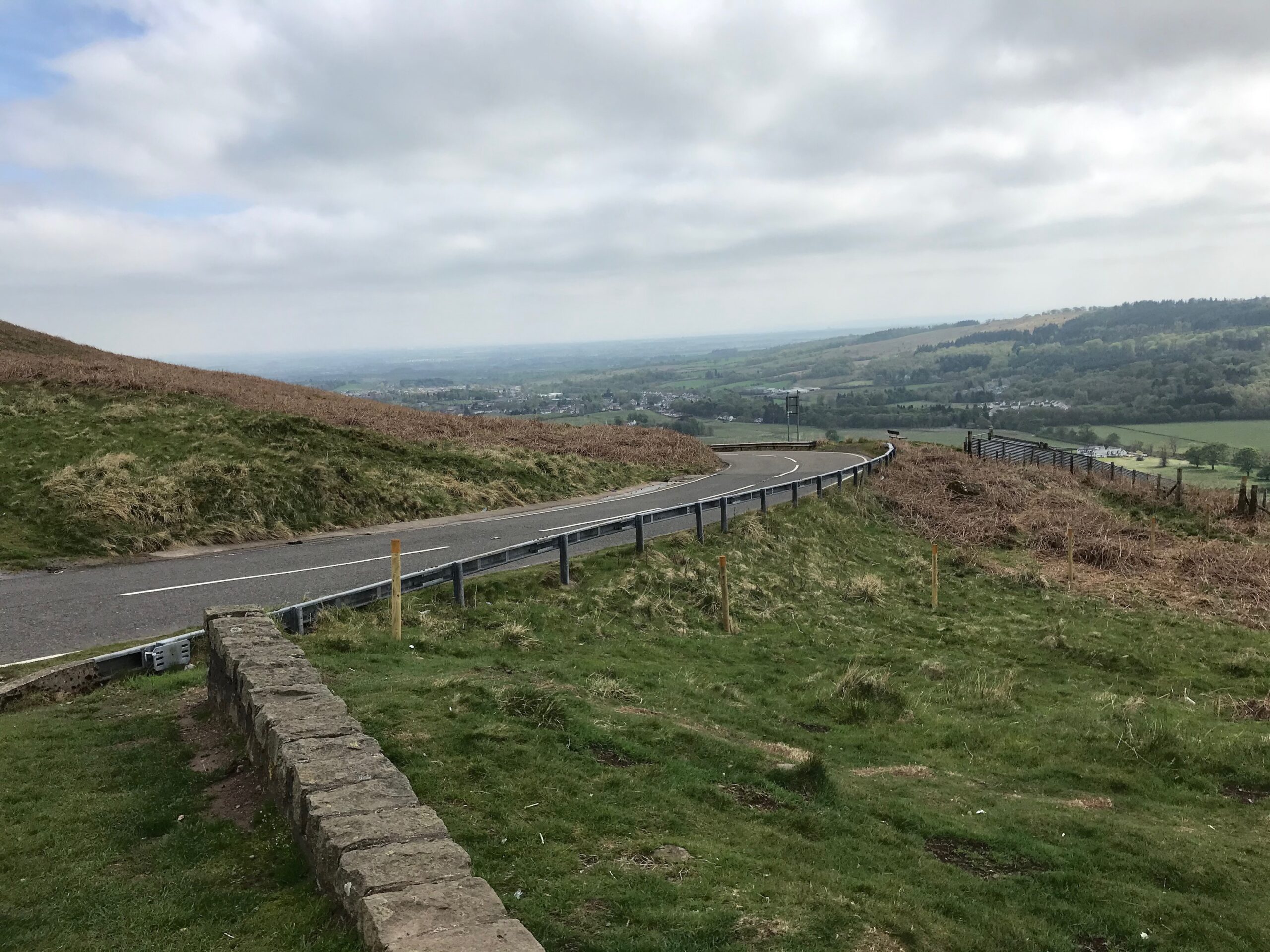
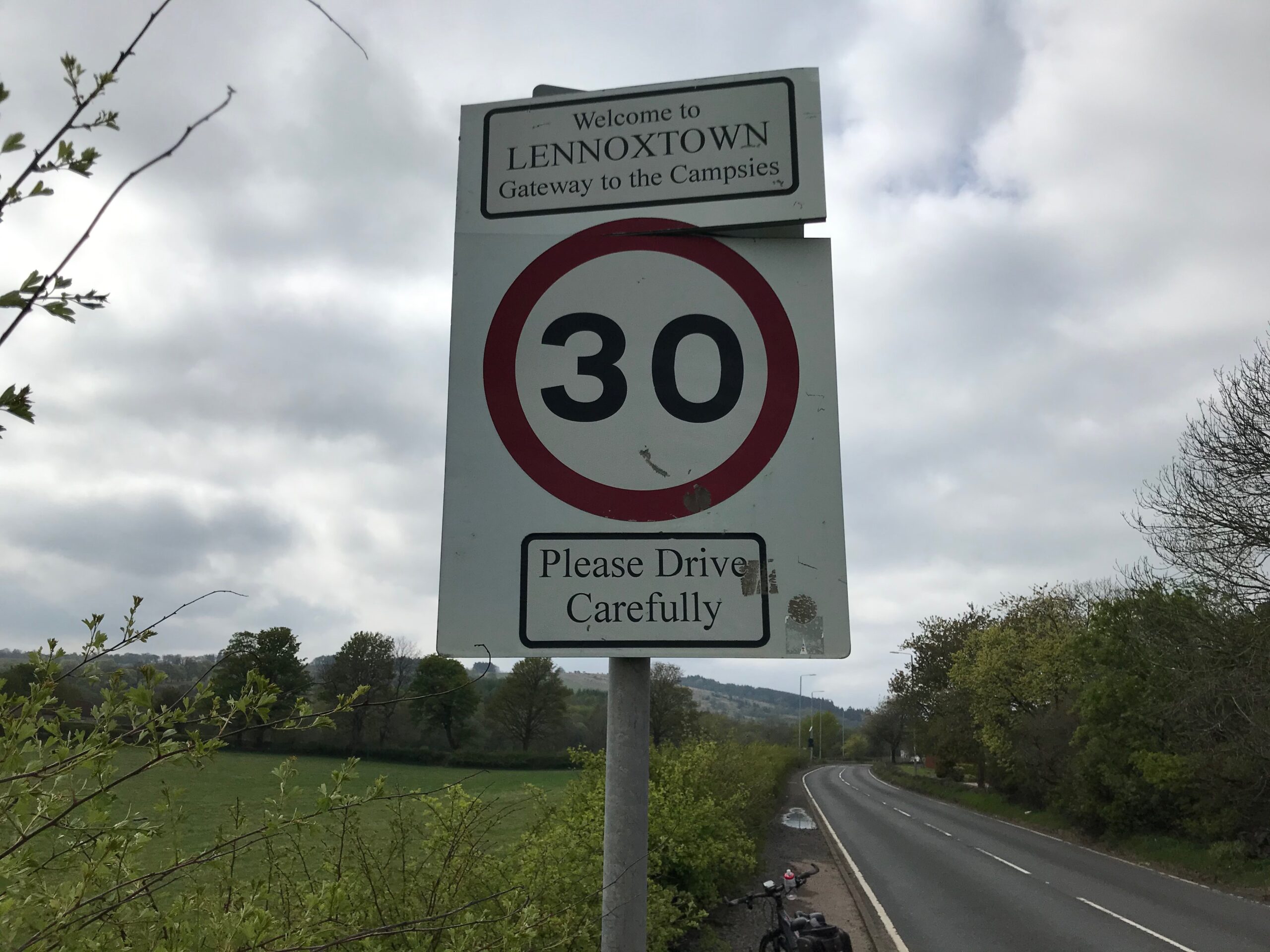
This is the start of a long steep climb up this road, which is called the Crow Road. The first section is quite steep and then there are several other steep sections all the way to the top. It then becomes undulating for a while. Then there is a really long, steep descent to the car park and viewpoint overlooking the small town of Lennoxtown.
Here there are fine views down over Lennoxtown and across the Kelvin Valley to Glasgow and Loch Lomond.
The descent from this point down to Lennoxtown is very steep. So great care should be taken, especially at bends in the road.
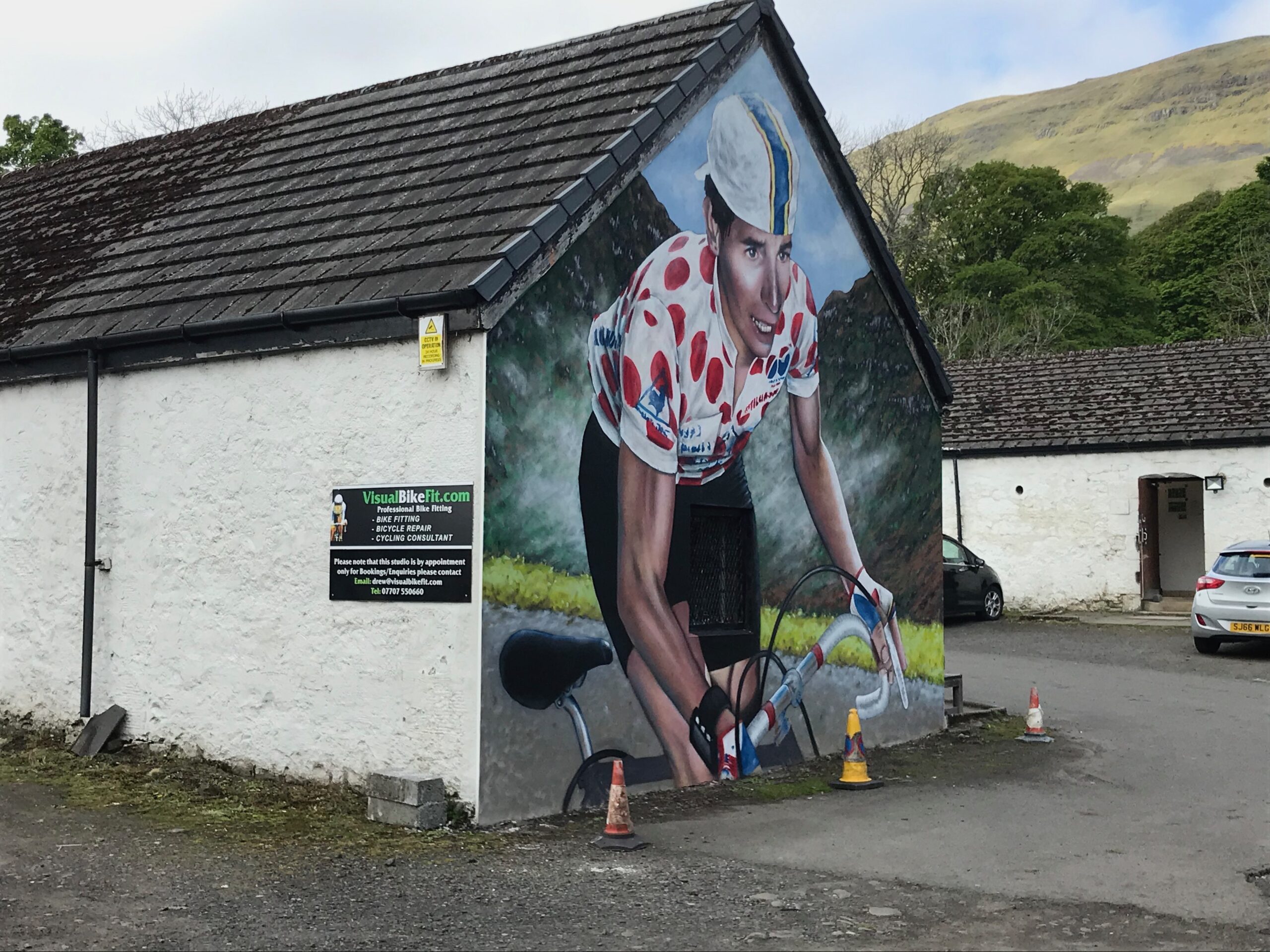
Near the bottom of the descent, before you get to Lennoxtown, there is a large mural of a road cyclist. It is on the end of a building. where there is a bike fitting company for road cyclists (visualbikefit.com).
Once you reach Lennoxtown turn left onto the A891 Main Street.
Then cycle along and out the other end of the village, where the A891 becomes Campsie Road.
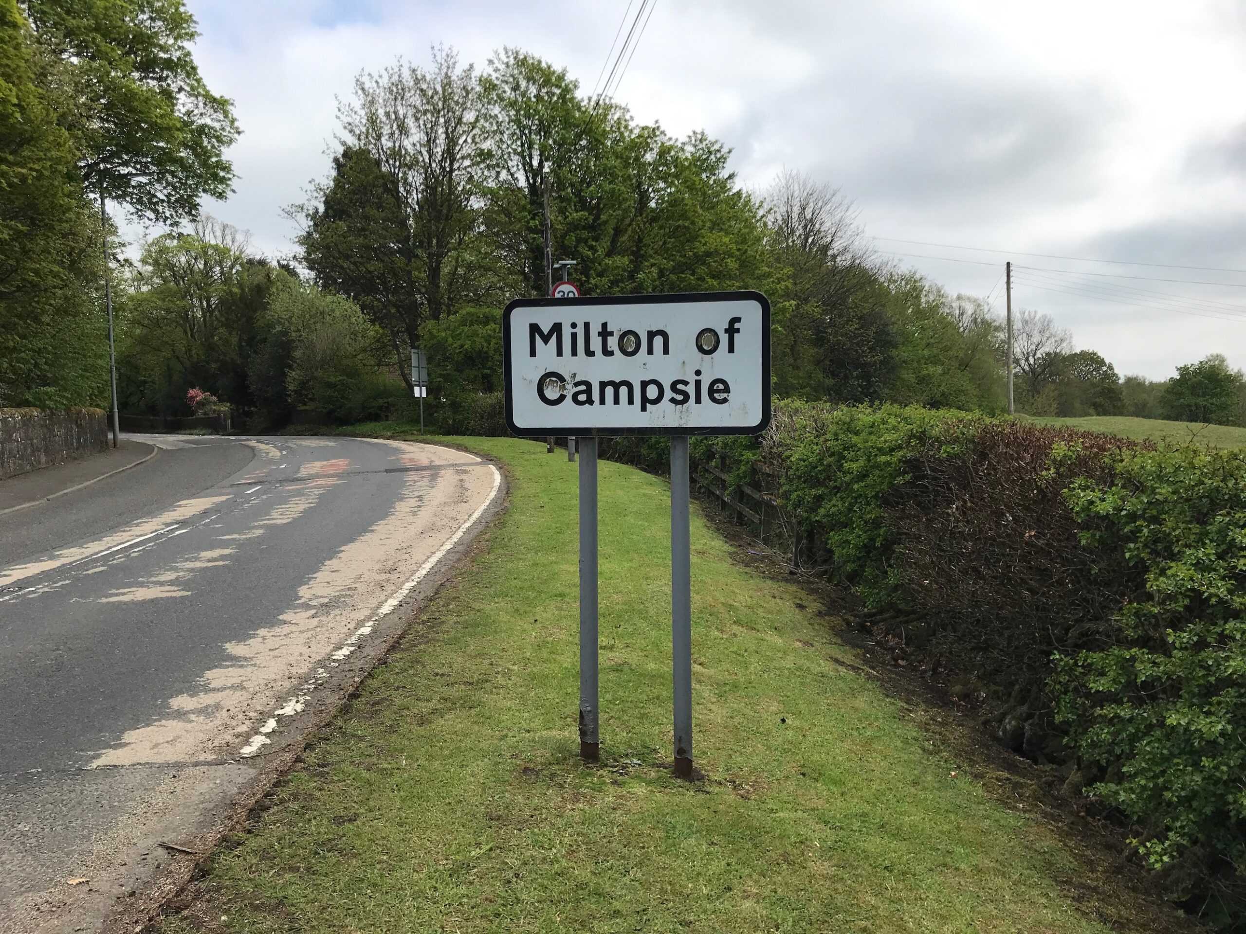
Continue on this road until you reach the village of Milton of Campsie.
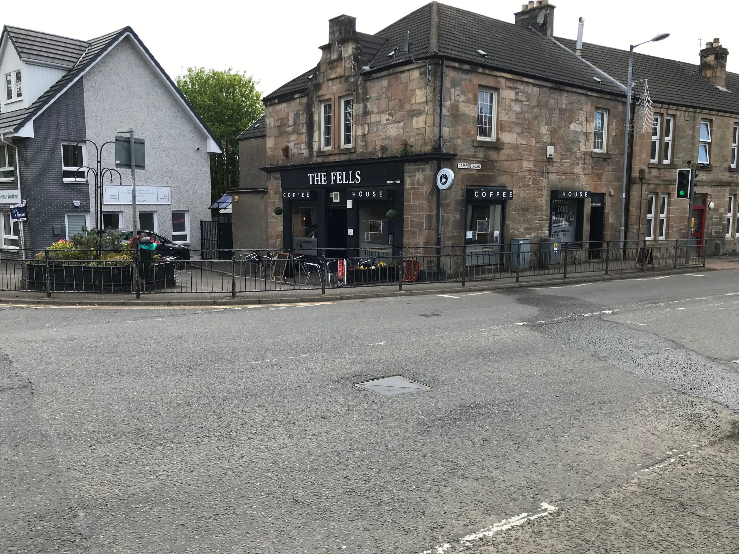
Cycle through the village until you reach a junction on the right with the B757 Birdston Road. Here there is a coffee shop on the corner.
Turn right into this road and continue cycling on it through open countryside until you reach the outskirts of Kirkintilloch. Here the road becomes busy approaching the junction with the A803 road in the centre of Kirkintilloch.
Turn right at this busy junction and then cycle along a short distance to a set of traffic lights. Here turn left onto the A806 New Lairdsland Road.
Cycle up this road for a distance. Look out for a set of traffic lights where there is a right turn into Catherine Street. The start point at the Barleybank car park is on the right hand side, a few yards further on.
In Kirkintilloch there are many cafes, bar/restaurants and shops in the busy street called Cowgate that is next to the start point in Barleybank car park. The nearest is the large bar / restaurant called The Kirkie Puffer that is just across the canal from the car park.
Along to the right when you come out of the car park onto Cowgate there are several more cafes, etc, and there is also a cafe and public toilets in the indoor shopping centre called the Regent Centre that is accessed from Cowgate.
In Kilsyth there are facilities in the Main Street, which is a small, pedestrianised shopping street further along on the left after the Talk-ma-doon Road, across from the Coachman Hotel. Here there is a cafe, a fish & chip shop, a bakery / takeaway, some bars and some shops.
After cycling past the Carron Valley Reservoir and coming down on the B818 to the junction with the B822, if you turn right here instead of left you can cycle the short distance into the village of Fintry, where there is the Fintry Inn that serves food.
When you drop down from the viewpoint at the top of the Crow Road you come to the small town of Lennoxtown, where there are a few shops, cafes and bar/restaurants on the Main Street.
After you leave Lennoxtown and cycle along the A891 you come to the village of Milton of Campsie where there is a cafe on the corner where you turn right into the B757 Birdston Road.